Family Dollar Store Site

Aerial of Sprigg and William area 11-06-2010
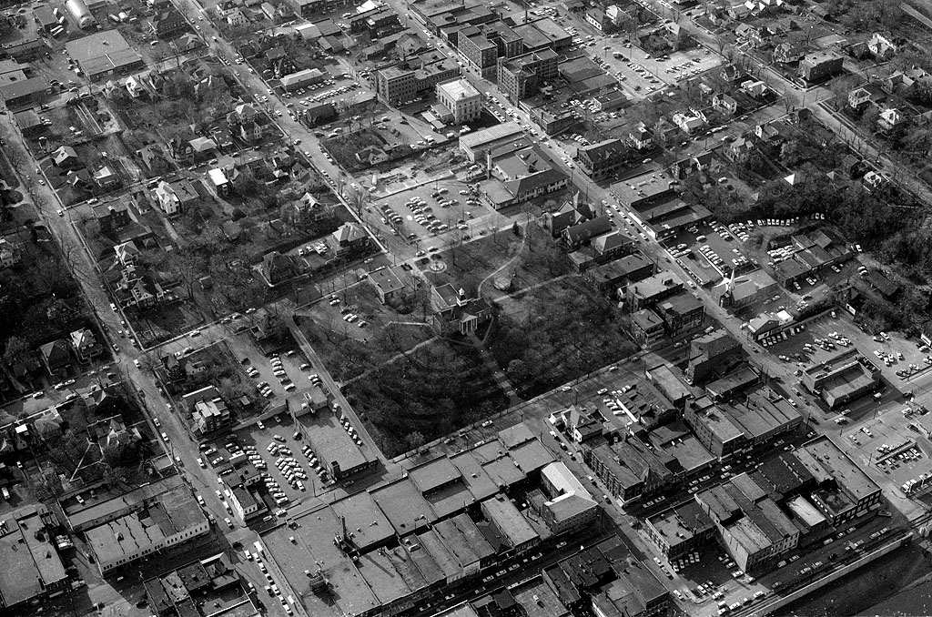
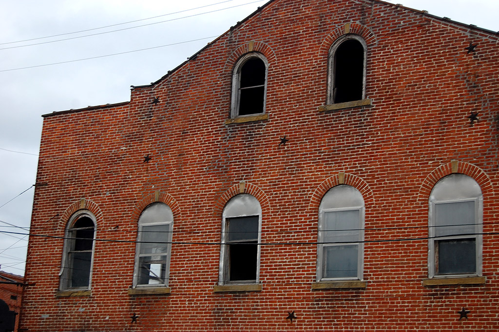
When I was up in the steeple of St. Mary’s Cathedral the other day, I noticed land being cleared on William west of Sprigg. It’s one of those things where you say, “Something’s different, but I don’t know what.”

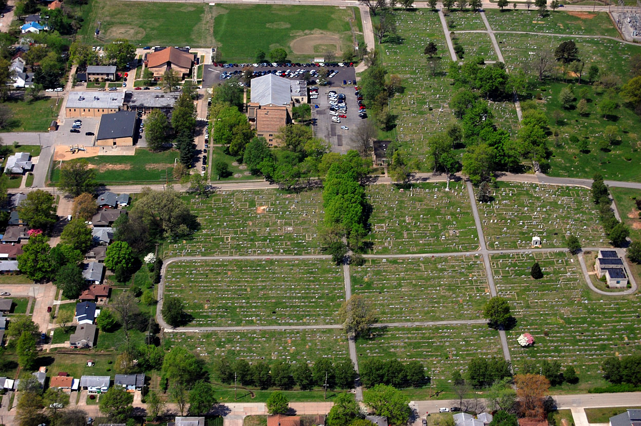
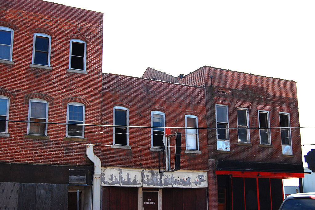
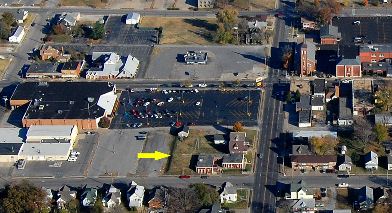
Here’s an aerial taken November 6, 2010, showing the area. The yellow arrow marks the spot. William Street runs from the bottom of the frame to the top of it, and we’re looking east toward St. Mary’s. The building to the left of the big black parking lot houses Fred’s Super Dollar Store and the Save-A-Lot food store.

Click on the photos to make them larger.

Site will be a Family Dollar Store

Family Dollar Store site 04-14-2014
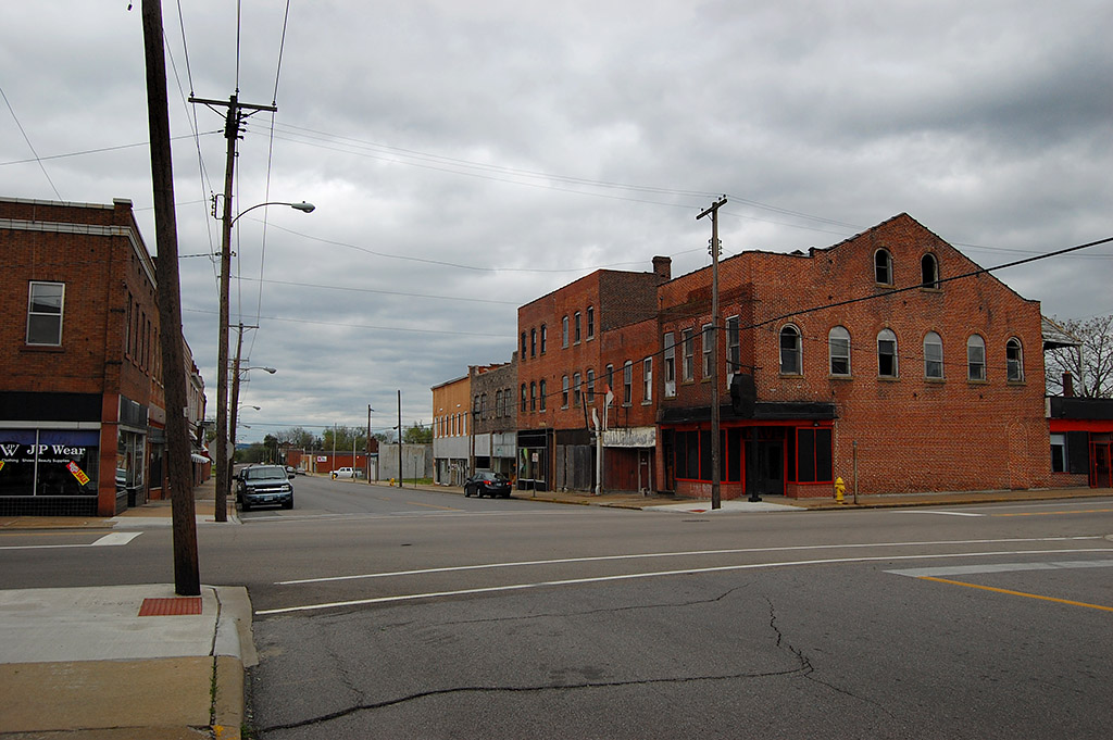
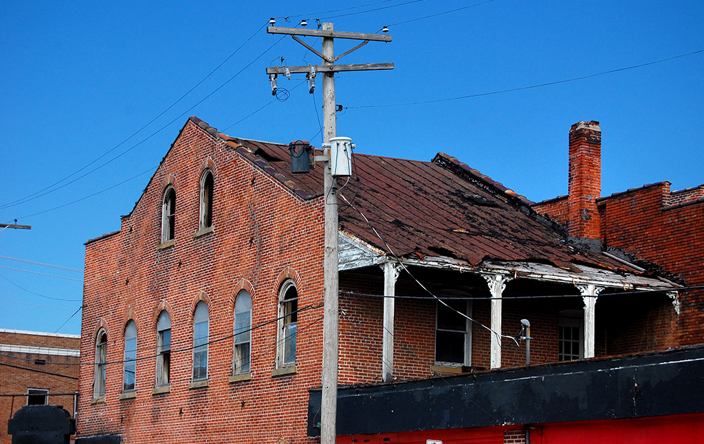
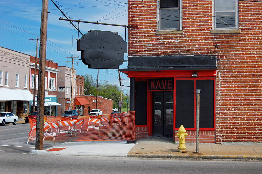
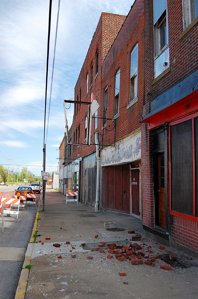
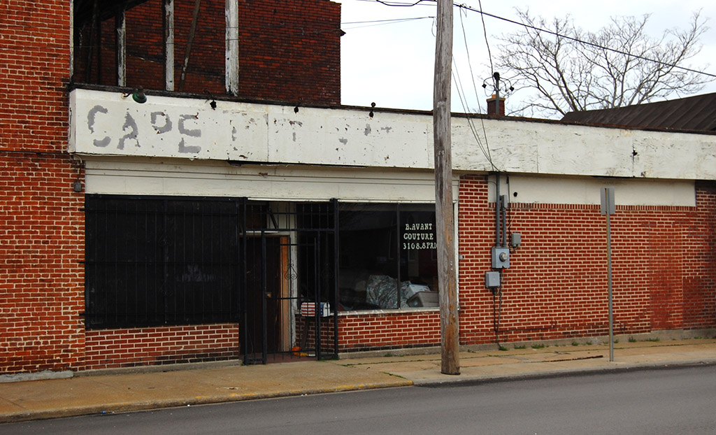
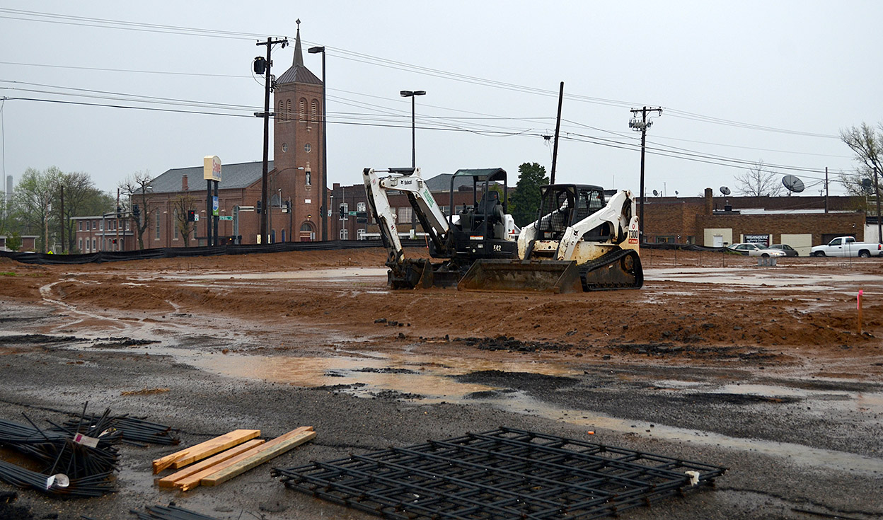
A November 25, 2013, Missourian business column reported that “an acre of land that includes four properties on William Street between Sprigg and Ellis streets has been sold to Family Dollar store and the deal is closed, according to Thomas M. Meyer of Exit Realty. All the properties now are commercially zoned and will be demolished to street level for the building of Family Dollar.

It’ll be interesting to see if the project continues in light of news stories that “Family Dollar closing 370 stores and lowering prices after revenue falls 6%.”

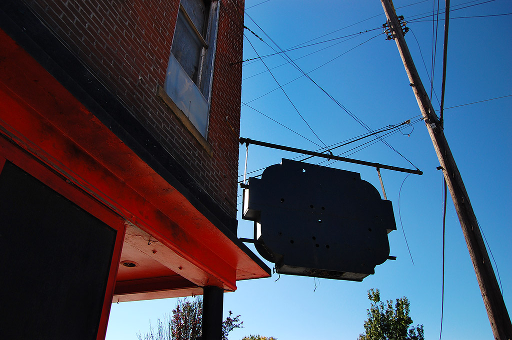
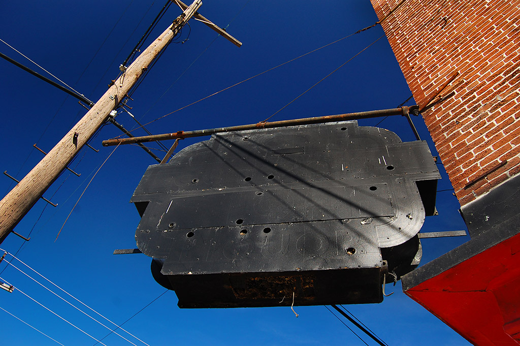
Should have shot in when weather was good

Family Dollar Store site 04-14-2014
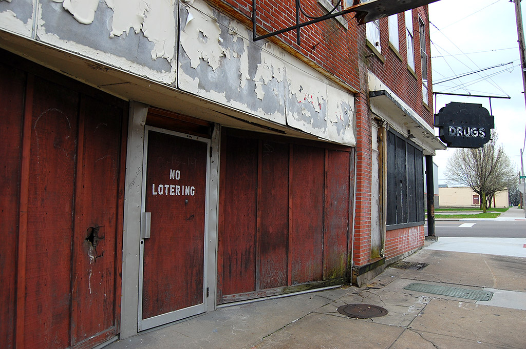
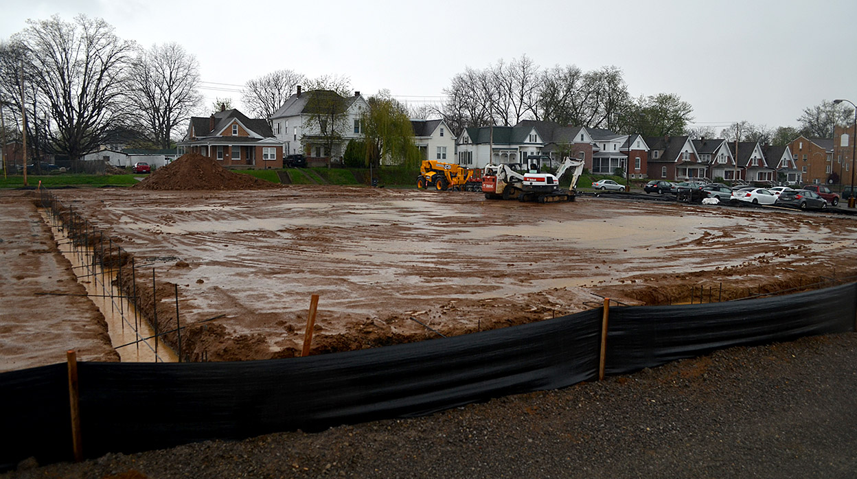
I should have gone from St. Mary’s to the vacant lot on a day with the temps were in the high 70s and the sky blue.

I procrastinated, though, and shot these when the wind was gusting, the thermometer was heading south into the low 40s and my bald head was being pelted by rain trying to get up enough gumption to turn to sleet.

This photo was taken from an alley on the east side of the property looking west toward the houses on Ellis.

Preservation Homework: Churches & Cemeteries

Aerial Common Pleas Courthouse 04-14-1964Dr. Katy Beebe invited me to speak to her historical preservation class at Southeast Missouri State University last year. Dr. Lily Santora asked if I would come back April 8 to meet with her class.

Dr. Beebe’s class was researching Main Street, so I put together a list of the stories I had done about downtown. Dr. Santora gave her class a wide variety of local landmarks. I’ll spend the next couple of days helping her students by posting links to stories I’ve done about their topics. I’m going to concentrate on churches and cemeteries today. (Maybe I can make up for all those assignments I didn’t turn in when I was a student.)

[Hint to students: don’t just read what I’ve written. The comments are generally more interesting than my copy. Feel free to post questions and comments of your own. My readers are a friendly group who love to share Cape’s history. Click on the photos to make them larger.]

First Presbyterian Church

St. Mary’s Cathedral

Christ Episcopal Church

Christ Episcopol Church 04-16-2011The church and May Greene Garden

Evangelical United Church of Christ

Crash knocks over sign in front of Evangelical United Church of Christ c 1966Crash damages church sign

 St. James AME Church

NAACP 08-10-1967National NAACP president speaks at church

Fairmount Cemetery

 St. Mary’s Cemetery

St. Mary's Cemetery 04-17-2011_5233Aerial of St. Mary’s Cemetery


Cape Cut Rate Endangered

Old Cape Cut Rate 635 Good Hope 04-16-2011The Cape Girardeau Historic Preservation Commission announced its list of 11 of the city’s most endangered buildings in hopes of raising awareness about the building’s uncertain futures.

One of the buildings is the old Cape Cut Rate Drug Store at 635 Good Hope, the southeast corner of Good Hope and Sprigg. I’ve been shooting the building for at least three or four years, but I kept putting off doing a story until I got the photo I wanted. I guess it’s time to go with what I’ve got.

Going to be teen club

Cape Cut Rate 635 Good Hope 10-24-2011I was on a bike ride a couple of summers ago when I noticed a dumpster in front of the building and some work going on. I stuck my head inside and was told that someone was going to fix it up for use as a teen hangout to give neighborhood kids a place to go. I didn’t have the equipment with me to shoot in the dark, so I said I’d come back. That was the last time I saw any activity in the place.

Roof peeling off

Cape Cut Rate 635 Good Hope 04-21-2011In the few minutes I spent inside the old drug store, I could see that the roof had been leaking for quite some time and that the interior was charred like it had caught fire at some point. I happened by the place on a windy day and say big pieces of roofing material flapping in the wind, so I know where the water came from.

A regular stop

Cape Cut Rate 635 Good Hope 10-24-2011

No telling how many times I passed through these doors because we spent a fair amount of time in the Haarig district.

Dad’s construction office was in Farmers and Merchants Bank, the place we did our banking.

I got my hair cut by Ed Unger at the Stylerite Barbershop.

We bought our ice from the Pure Ice Company

Suedkum Hardware was better than Disney World. (Or course, Disney World hadn’t been invented yet.)

You hoped you weren’t sick enough to see Dr. Herbert

If it was REALLY serious, you went to St. Francis Hospital

We could buy clothes at Schades and shop for groceries at Hirsch’s Midtown.

At Sprigg and William, in the next block up, you could go to church at St. Mary’s, buy a car at Clark Buick and a TV from Lorberg’s.

In later years, we’d stop in to see Doris.

What is Haarig?

Cape Cut Rate 635 Good Hope 04-21-2011Haarig was the heavily German section of Cape Girardeau. You can read about the history of Harrig and its buildings in this National Register of Historic Places registration form. Here is a list of last year’s endangered buildings.

Old Jefferson School has been removed because it was torn down.

635 Good Hope Photo Gallery

Click on any photo to make it larger, then click on sides to move through the gallery.

St. Mary’s Safety Patrol

It took a minute to figure out which school safety patrol these boys belonged to. The gas station and houses looked a little familiar, but it didn’t have the feel of Broadway about it. I like that you can see the driver in the car on the left and that the girl’s right shoestring is flapping.

St. Mary’s Mass schedule

The frame with the St. Mary’s Cathedral school in the background helped nail it down. It was the corner of Sprigg and William that I’ve written about before.

Sherer’s Mobil Service Station

The sign above the door says S.H. “Bud” Sherer Dealer. (It might be “Bub.” It’s hard to tell at the angle).

Station and houses are gone

This April 17, 2011, aerial shows that the station and the houses on the corner are all gone.

Photo gallery of St. Mary’s School Safety Patrol

Click on any photo to make it larger, then click on the left or right side of the image to move through the gallery. Here was Trinity Lutheran School’s Safety Patrol, including a video.