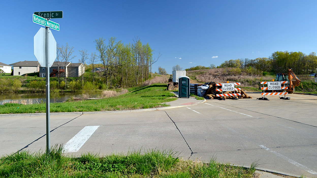
These pictures were taken at the intersection of County Roads 618, 620 and 306. Let me tell you how we got there.
When we moved out on Kingsway Drive, we – like most folks – called it Old Jackson Road. If you didn’t take Highway 61 through the 10-Mile Rose Garden to get from Cape to Jackson, you’d go by way of Old Jackson Road. You’d coast down from our house near Kurre Lane, make a sweeping right-hand curve past the Cape La Croix Creek concrete marker (it’s been moved) and keep on going. There was no such thing as Lexington in those days.
Girls sure were careless.
Just before you got to where Route W turns to the right, you’d cross an old steel bridge over 3-Mile Creek (where there was a deep swimming hole). It’s concrete these days and the water’s too shallow to swim.Thinking back on it, that area might have been used for more than swimming. We boys were mystified about how so many girls lost their underwear there.
After you passed the Seabaugh farm on the left, you’d curve around to go through the Houck Railroad Cut that features prominently in Steinhoff family lore. (Dynamite was involved.)
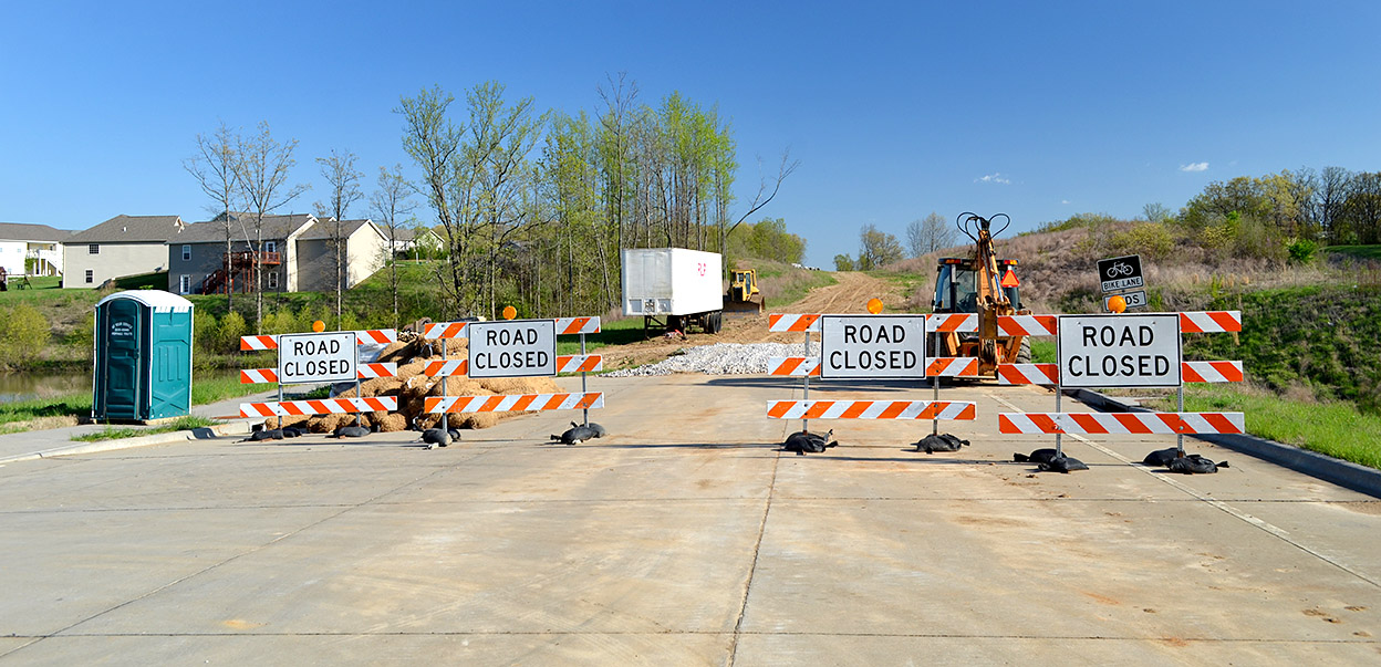
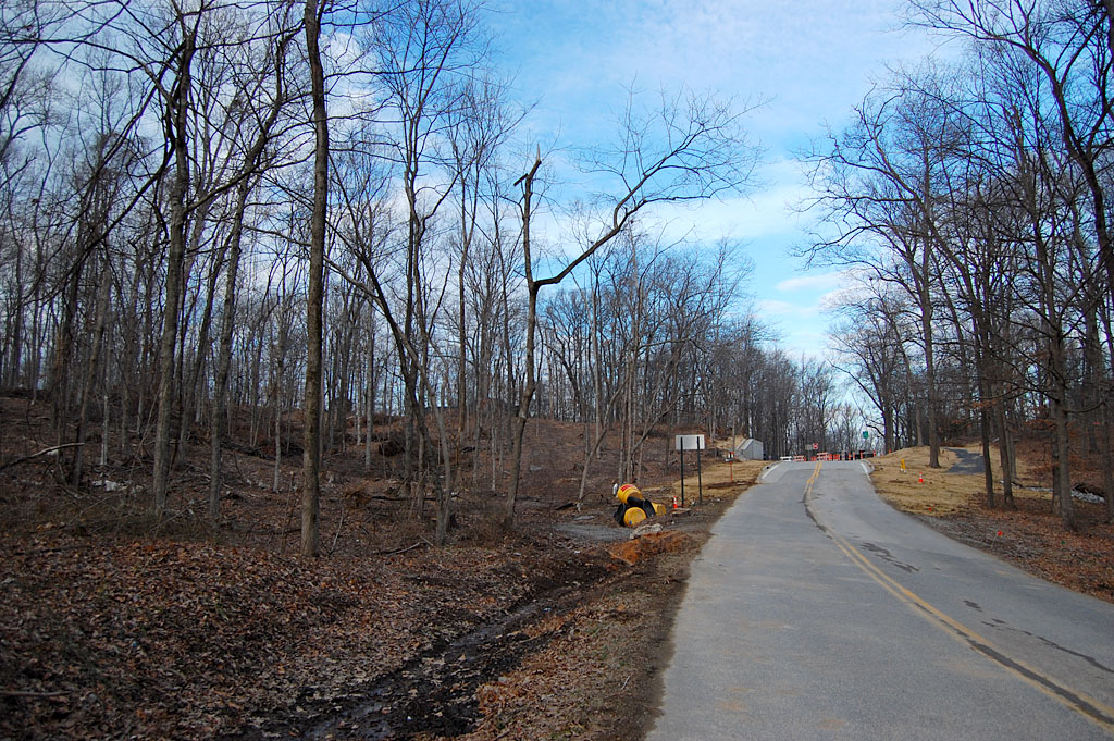
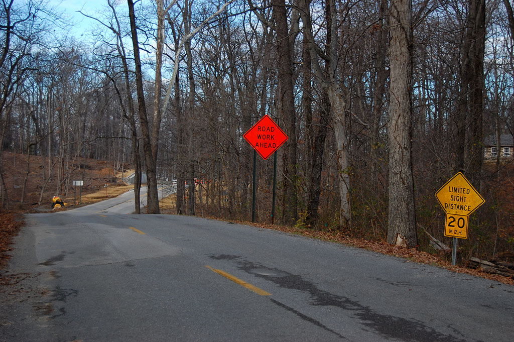
618 is closed for construction

Finally, you’d come to a place where you had to turn left to go over I-55. That’s the intersection of 618, 620 and 306. That’s where the first picture with the Road Closed sign was taken. If you went straight, you’d climb a short hill, then plunge down a steep hill with a sharp curve at the bottom. That’s significant because the last time I did that ride on my bike, I didn’t realize I could go that fast. When I hit the curve I became very aware of how tiny, tiny my bike tires were and how much it was going to hurt if I misjudged the curve and painted the blacktop with skin crayon.
If you survived the curve, soon you’ve find yourself staring at – and being stared BACK at – by the exotic animals that inhabited 5H Ranch. BUT, we couldn’t go that way Saturday because of the Road Closed sign.
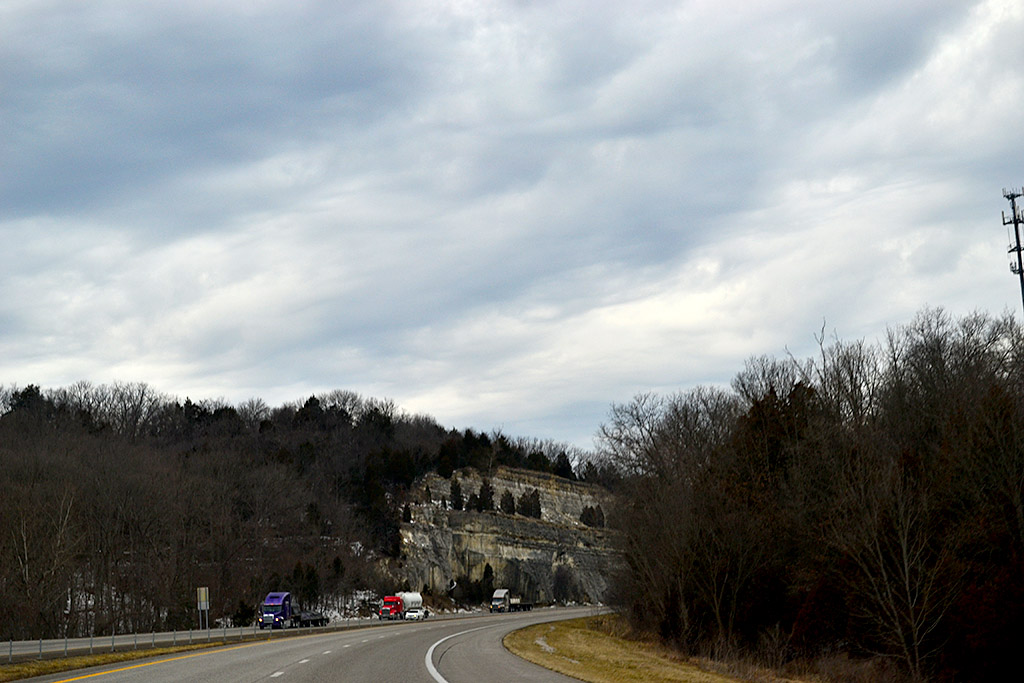
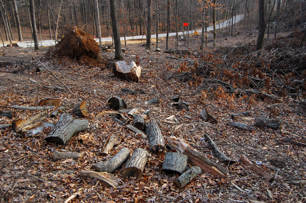
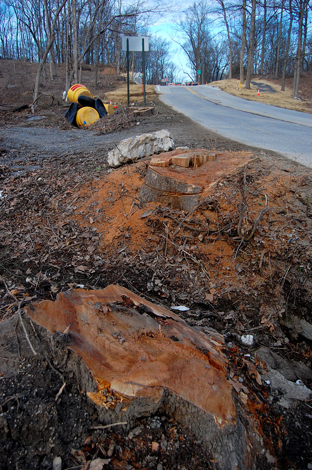
Abandoned quarry
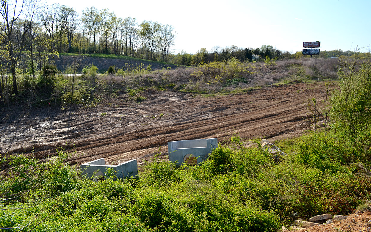
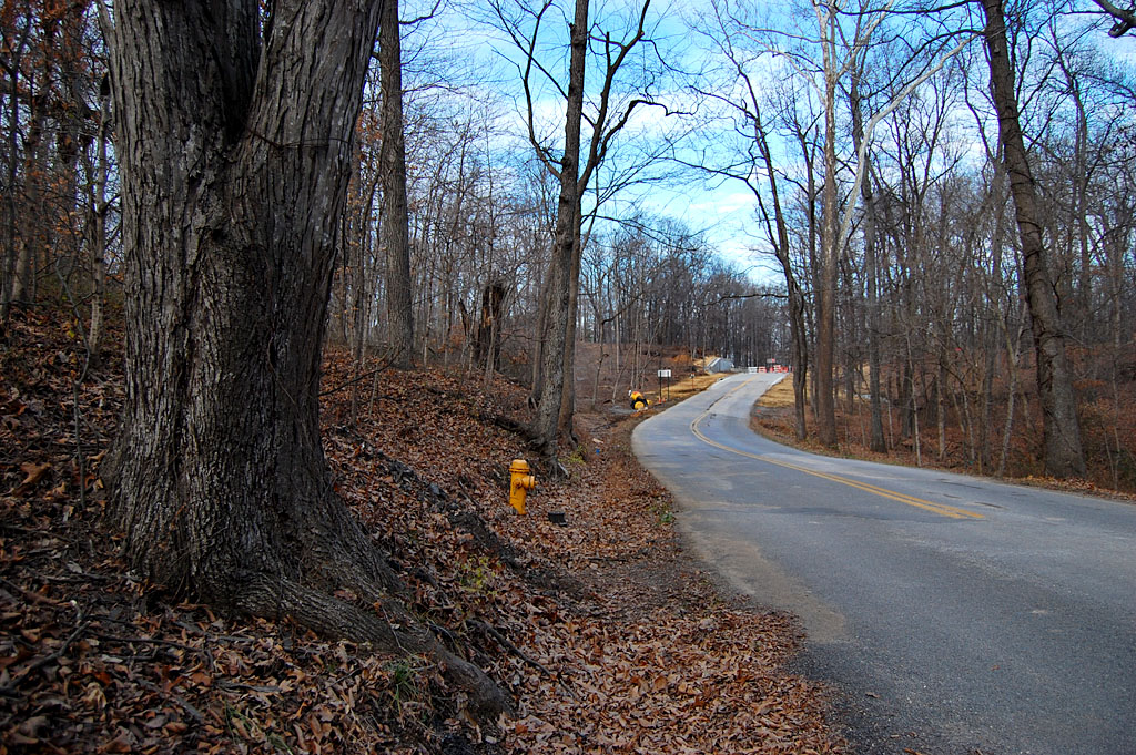
 If you made the left turn and crossed I-55, you’d enter a curve that swept to the right and downhill. On the left was where Bill Hampton lived. His family owned Hampton’s Bakery on Broadway across from Houck Stadium. Bill shot our wedding in 1969. Just before you crossed a bridge at the bottom of the hill, there was a hill with an abandoned quarry cut into it.
You can tell from this cut why they hadn’t bothered to work it much. There’s some limestone, but it’s not of very good quality. The quarry would have been off to the left behind the trees in this photo. The road to it has been overgrown for years. About a half mile down the road was the turnoff to Old McKendree Chapel.
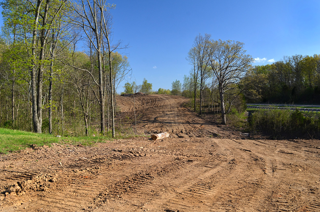
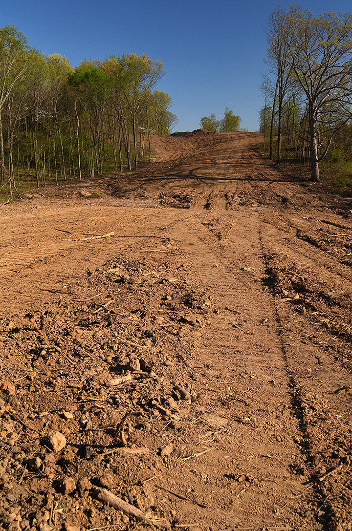
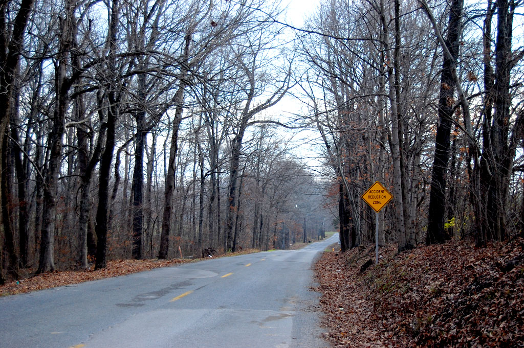
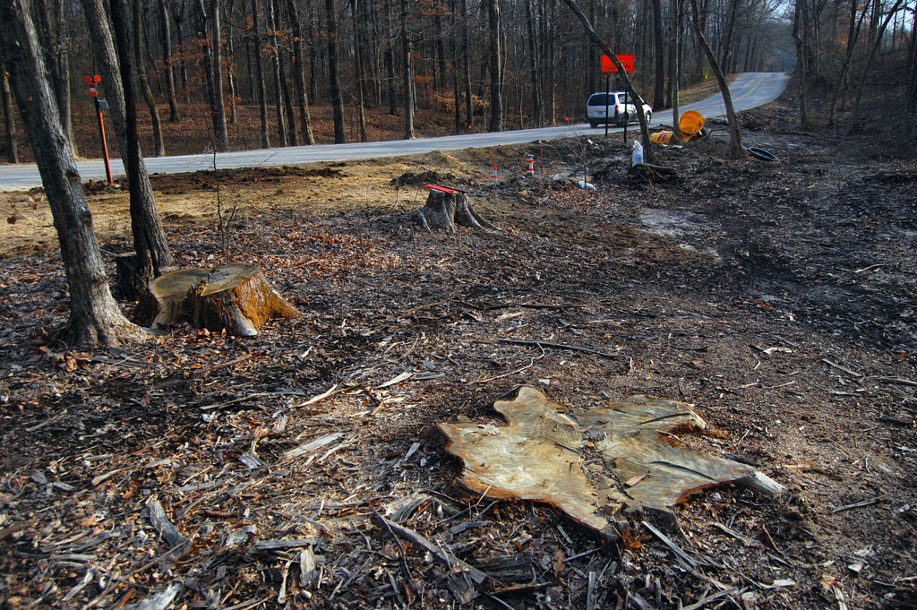
Hill has been taken down

Looks like the hill has been taken down enough that the ride down 618 isn’t going to be as exciting as it was.
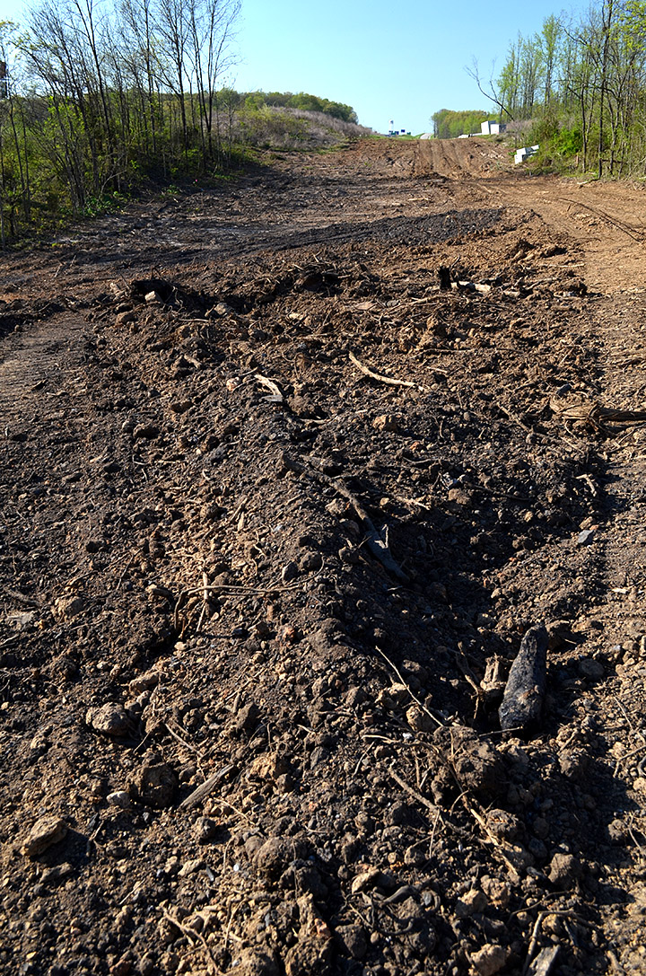
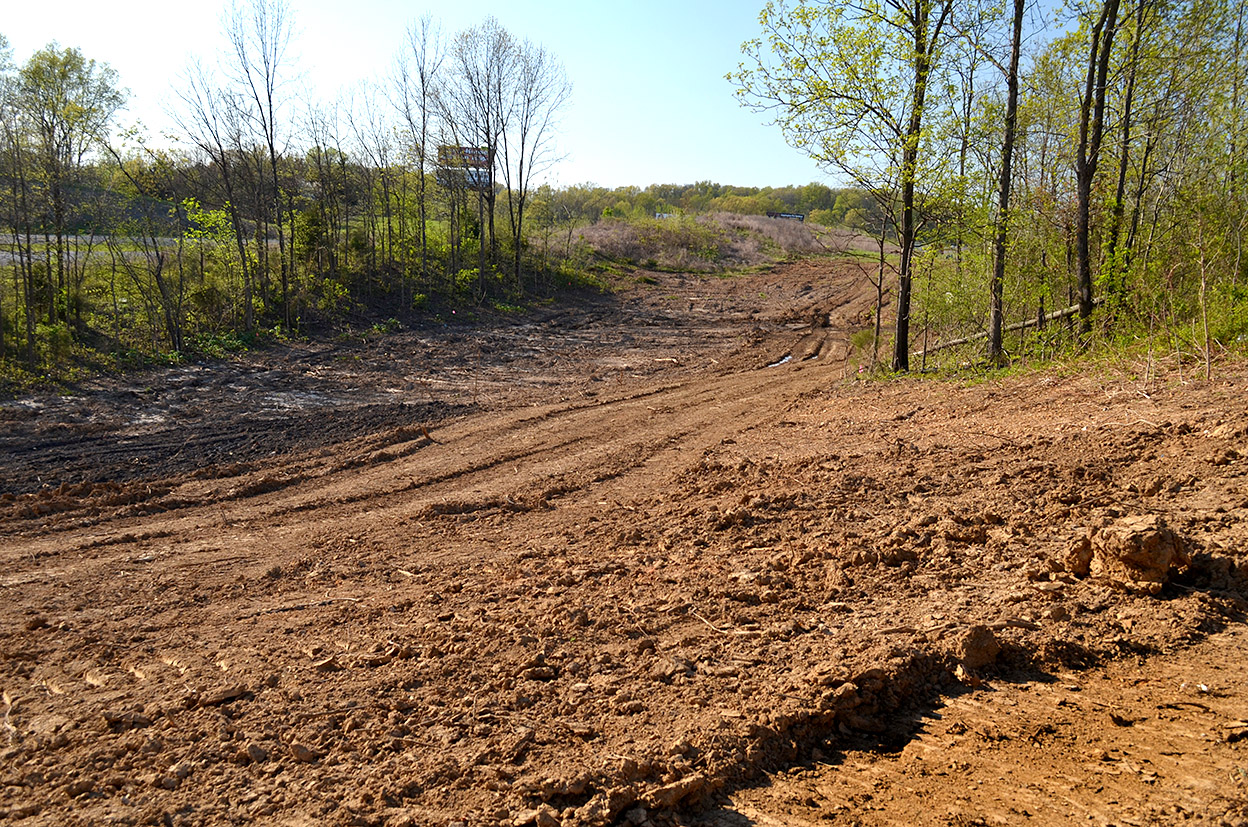
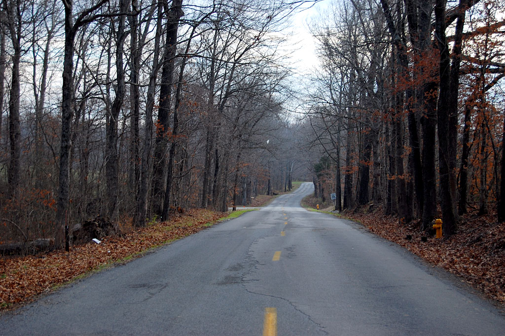
View back to Cape
 You can see how much the grade has been flattened in this photo looking back toward Cape. It’ll be easier to climb on icy days (and on my bike).
It’s not just concrete
 You’re driving on more than concrete when you go down the road” there’s an awful lot of steel in that slab. I hate to think how much of that rebar I humped one hot summer.

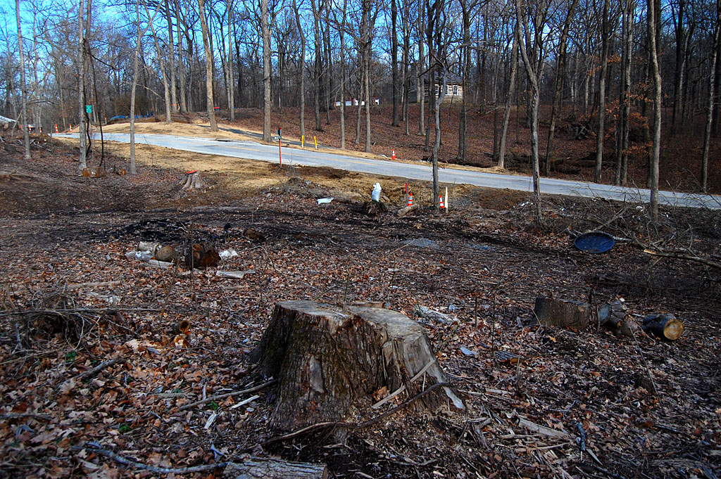
 There has been a lot of clearing going on alongside the east side of I-55 south of Hwy 61. It’s an expansion of Veteran’s Memorial Drive from the intersection of Scenic Drive to Hopper Road. The plan is for it to eventually go from Hwy 61 to Route K.