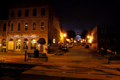
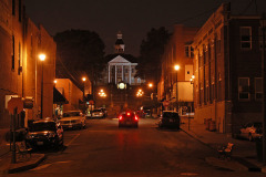
 Eric McGowen and Don McQuay led Friend Shari and me on a tour of the Common Pleas Courthouse. Like everyone else, we had heard the stories of the dungeon in the basement and the secret tunnels leading to the river. So, let’s get to the bottom of this, if you’ll pardon the pun.
The basement is semi-finished in one area and used for record storage, phone and networks equipment, Christmas decorations, miscellaneous junk and three framed aerial photographs, one of which was of Pfisters and Central High School in the early 1950s.
“Dungeon” has dirt floor
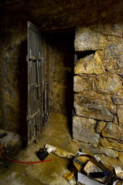
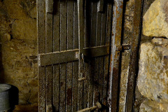
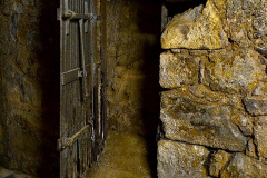
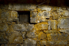
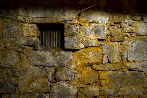
I’m still trying to figure out this room, which is located north of the storage room. It contains a heavy steel door and an iron lattice opening that must have been for ventilation.The dirt floor is just as it was during the Civil War.
Which side is the lockup?
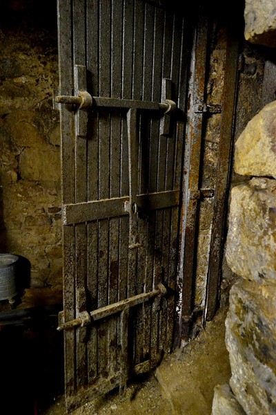 The passageway through the door doesn’t lead anywhere today.
The locking mechanism had to be on the “outside”, making this room the secured area. The only problem is, we couldn’t figure out how you would get to it unless it once opened to the outside.
Forget about the tunnels
Let’s get rid of the tunnel theory first off: The Common Pleas Courthouse is located on one of the tallest hills in Cape. If you tunneled out from the basement, you’d come out in thin air. Digging straight down would take more work than anyone would have undertaken.
An excellent resource for history buffs interested in the courthouse is the National Register of Historic Places registration form. It’s an interesting read, but it doesn’t mention tunnels. (It’s a large file, so it might take awhile to download.)
Rebel guerrilla lynched
It does have the background of a grave marker I spotted at the Bloomfield’s Stoddard County Confederate Memorial.:
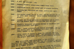
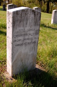 “An infamous case centering on the Court of Common Pleas occurred in February of 1864 when a notorious guerilla, John Fugate Bolin, was captured by Union forces near Bloomfield, Missouri. He was brought back to Cape Girardeau and according to local tradition was kept in the basement of the courthouse. Army telegraph messages back and forth to St. Louis discuss whether to hold Bolin for trial or to just kill him outright. General Clinton Fisk in St. Louis advised Colonel J. B. Rogers, the regimental commander stationed in Cape Girardeau, to hold him for trial. However, on the night of February 5th a large crowd of citizens and soldiers took Bolin from the courthouse, placed him on a wagon, rode him to a tollgate on the Bloomfield Road south of Cape Girardeau and hung him. Fisk afterwards commented that it would “hardly be necessary” to give Bolin a trial. Suggesting Fisk’s reply might be seen as “winking” at the illicit act and to allow him to “better be able to restrain my men” in the future, Rogers requested, and received, a reprimand for allowing mob rule to govern the day. This is one of the few situations in Missouri where the impromptu execution of a guerilla leader was discussed in official correspondence.”
Stairway gets narrow, twisty
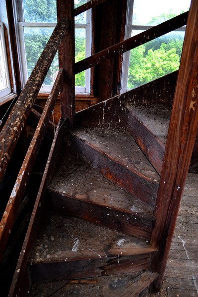
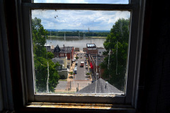
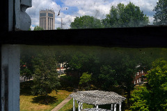
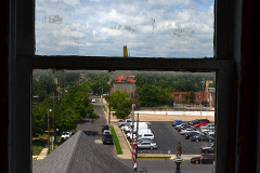
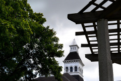
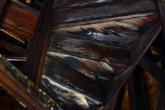
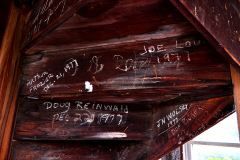
The stairway to the dome felt solid, but it got narrower and more twisty the higher I walked. This is the level where I shot photos of the courthouse grounds and surrounding neighborhood.
I’m glad I hadn’t read up on bird droppings and histoplasmosis when I made this journey.
County seeking grant
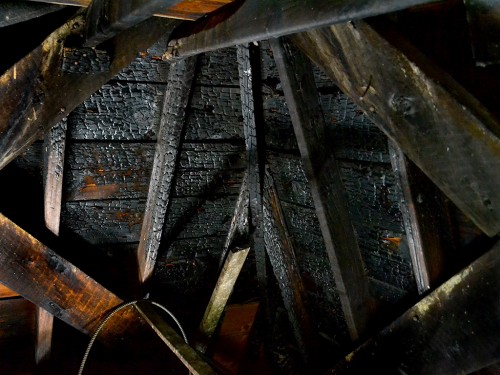
The Missourian had a story July 24, 2012, reporting that the county commission will seek a historic preservation grant from the Missouri Department of Natural Resources to support repairs to the building. I don’t know if the money will go for replacing charred timbers in the dome.
Iconic landmark
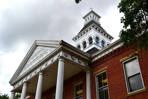
I’d have to say that the courthouse, Mississippi River bridge (old and new) and Academic Hall are Cape’s most iconic landmarks.
Common Pleas Courthouse photo gallery
Click on any photo to make it larger, then click on the left or right side of the image to move through the gallery.
 Mother and I were behind a pickup truck at the stop sign at Old Cape Road and South Shawnee Blvd., when I happened to look through his rear window.


