You can’t beat the Indian Creek Community for story telling: it’s a mix of Revolutionary War soldiers, Indian maidens, the Trail of Tears and a Civil War atrocity all wrapped up in about 640 acres.
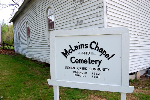
It’s hard to break out McLain’s Chapel from all of the other things the McLain family touched in the Oriole / Egypt Mills / Pocahontas area. I’ll touch on McLain’s Cemetery, Apple Creek Cemetery, Indian Creek Store and School later. [Note: the sign and a stone marker in front of the Chapel spell it “McLains Chapel,” without an apostrophe. Other sources spell it McLain’s Chapel. I’m going to use that spelling.] You can click on any photo to make it larger.
McLain Brothers fought in Revolutionary War
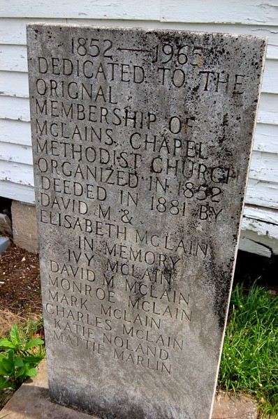 LaFern Stiver provided this background:
This area was settled early by the McLain Clan, from the Isle of Mull in Scotland. The family came from South Carolina and established itself here before 1815, based on the earliest tax records. Alexander McLain, was one of four brothers who fought in the Revolutionary War. John, the older brother was killed; for his sacrifice, his family was given one half bushel of salt.
The father of the whole McLain Clan, Alexander McLain, settled near Indian Creek School and McClain’s Chapel Methodist Church and Cemetery. On the banks of Indian Creek is a spring that furnishes water all year, something pioneers needed for their homesteads.
David McLain given 15-year-old maiden
 A letter written in 1932 from a 94-year-old lady states that David D., the youngest son of Alexander, was told by the Indians that they would allow him to have as much land as he could walk and return in two days for 8 cents an acre. For this privilege and the protection of the tribe, he was given a 15-year-old Indian maiden as his mate, with the understanding that all children remained with the tribe.
Alexander received land for service
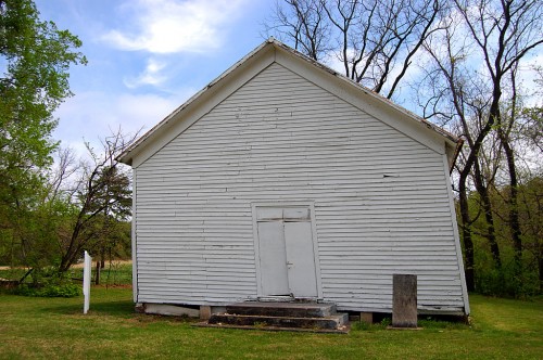 Herbert McLain provided some information about Alexander, his third great-grandfather, in a post on flickr.
Alexander was able to acquire a 640-acre land grant that dates back to the Spanish Land Grants (date unknown) for his service to the government during the Revolutionary War, but he couldn’t claim it until after the War of 1812..
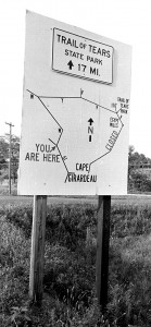 Alexander and his family lived among the Shawnee and their wigwam communities that existed for many years after they settled there. According to the Lewis and Clark documentation, there were 400 Shawnee in Apple Creek at that time.
Alexander McLain’s property backs up to the Trail of Tears State Park. Alexander, friendly with the tribe, would let Cherokees shelter there through the winter after crossing the Mississippi. When President Andrew Jackson developed his lifelong enmity for Native Americans and set a policy to relocate approximately 100,000 westward toward Oklahoma, a trail was developed by Captain John Stuart, a Scott British Army Nobleman, who had come to the colonies to serve as an Indian agent. The trail that connected Kentucky to Arkansas and Missouri stretched across Alexander’s property.
Even though Alexander was able to enjoy his land grant most of his adult life, it wasn’t until March 4, 1831, when he was 77, that he began receiving his $33.33 per year pension for his services in the Revolutionary War. He lived out his life in Missouri with his family. He gradually went blind, as his father had. He died February 8, 1847.
Wouldn’t plow holy ground
 LaFern passed on another Trail of Tears story. “I know that two braves escaped and hid on the property that was owned by descendants of Alexander. One of them died shortly after his escape, but the other had a rough shelter built on the farm and stayed to help my grandfather. He refused to come into their home to eat and crouched Indian fashion at the back door as he ate his food.
“I know that when my aunt owned the farm, we did not plow over two areas in one of the fields because her father had told her that was where the two Indians were buried and we should keep the ground holy for them. My cousin griped because he had to plow around them.”
Blood spilled in church
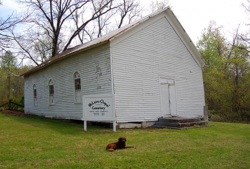 A March 5, 1931, Missourian story recounts a chilling story of how the Civil War touched the area. “Down the creek from Oriole is located a Methodist Church known at McLain’s Chapel…. It was in this church that a Civil War tragedy was enacted. A farmer in the neighborhood by the name of Hamilton, who was known to be a very pious man, and also known to be loyal to the federal government during the war between the states, was apprehended by a number of bushwhackers, most of them residents of Jackson.
“The marauders took Hamilton to the church, and told him to kneel and pray, which he did, and was shot down in cold blood. The spot where his blood soaked into the rough planks of the floor was visible for years.”
Building in bad shape
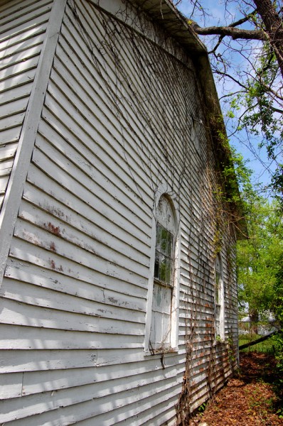
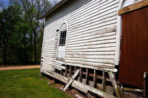 When I shot these photos April 20, 2011, I wondered if the building would stand through summer storms and the winter. The church really IS leaning. It’s not a trick of lens distortion.
Vickie Sams Cash asked about McLain’s Chapel when I did the piece of the Trinity Lutheran Church in Egypt Mills.
Reader Dick McClard answered her, “McLain’s Chapel is now in the hands of David McLain. He’s thinking about knocking the old church down because of its poor and unsafe condition. This may be the last year to see the building. It’s unremarkable in its architecture and contains nothing of value.“
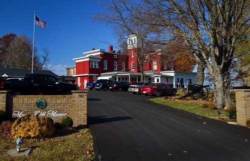 On our way back to Cape after the James McMurtry concert in St. Louis and a pause at the Fourche a du Clos Valley Roadside Park, we rolled into the tiny town of St. Mary.

