Early in June I after I had written about Cairo, I received this comment from Beth Pacunas of Bettyrocks, a video production company:
“I am grateful to have stumbled upon your web site. Thank you for your beautiful photographs of Cairo. I fell in love with the town several years ago when I was there to work, and I have returned several times since to walk the streets, eat in the diner downtown, sit by the river. As a documentary filmmaker, and a myriad of other more important reasons, I am drawn to Cairo and it’s complicated story–past and present. There is a heartbeat there that refuses to silence as proven lately with the decision to save the town by blowing the levees.
I want to re-visit Cairo in July to begin this documentary that I have long dreamed about, and would very much like to speak with you prior to that. Please contact me at your earliest. Thank you.”
Beth Pacunas of Bettyrocks
 Beth was honest upfront that they were shooting this as an independent project and hoping that they would find a way to make it financially rewarding. “I do not have any money at this point in time. That said, if I do get money we can outline the terms in this agreement. I really would like to use your photographs. The are beautiful in a tragic way, like an oil painting of war.”
Here’s a woman who knows how to blow in a photographer’s ear. Appeal to the ego, not the pocketbook.
Stace England was the convincer
 In one of our early exchanges, I sent her a bunch of links that I thought would help her in her research, but I told her all she needed to do to understand Cairo was listen to Stace England’s songs on Greetings from Cairo Illinois.
It’s one of my listened-to CDs. Great variety of music that starts before the Civil War and General Grant’s visit, goes through the days of lynchings, the Civil Rights movement, the riots of the 60s and the decline of a once-vibrant city.
One song, The North Starts In Cairo, tells how the curtain that segregated whites and blacks on the buses coming out of the Jim Crow Southern states would come down as soon as they crossed the Ohio out of Kentucky. That surprised me. I had always considered Cairo to be as Southern as Alabama, something that has contributed to its demise.
When Beth told me that she had persuaded Stace to show up on Monday, I told her I’d be there. I wish I could have spent more time with him. He’s a genuinely nice guy.
Craig Rice and I connected
 Actually, it was a literal connection. They decided to do a walk ‘n’ talk interview with me meandering through the town to find out what I’m thinking when I’m shooting.
They were using fairly low-tech equipment with a wired mike instead of a wireless, so Craig Rice and I were joined by a cable that kept me on a fairly short leash. Wife Lila will tell you that I’m a fast walker, so I got yanked back short a number of times.
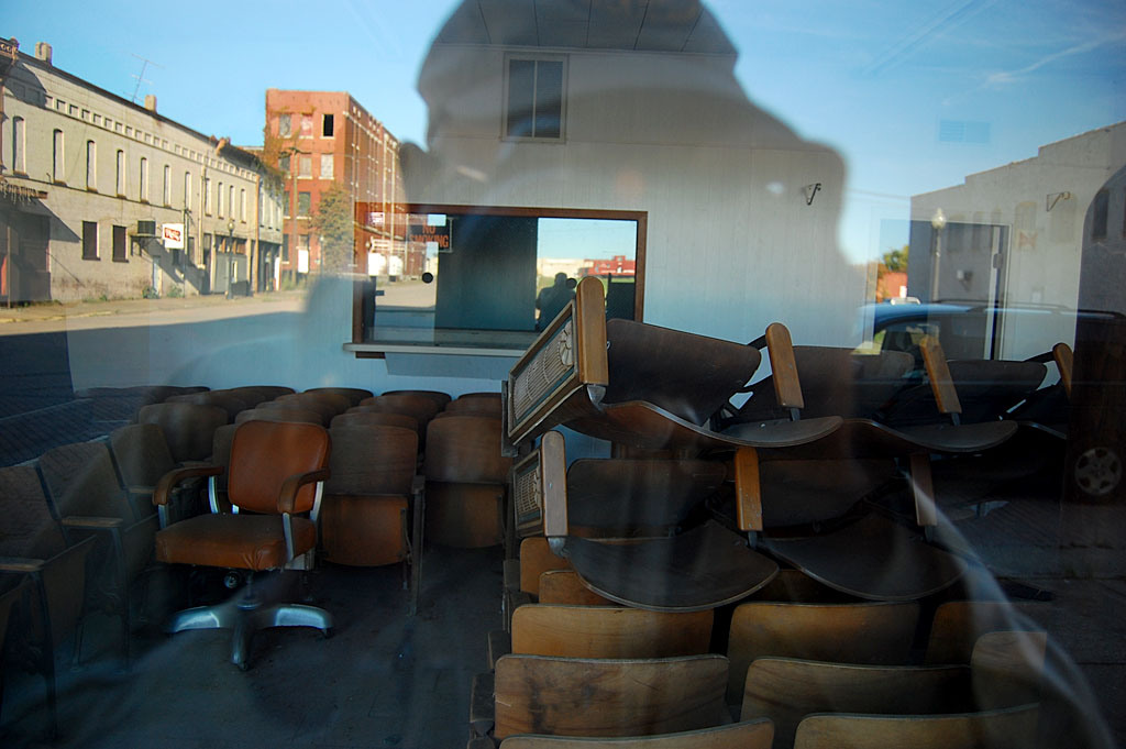
Photographer shooting photographer
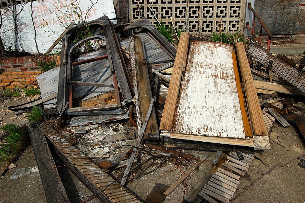
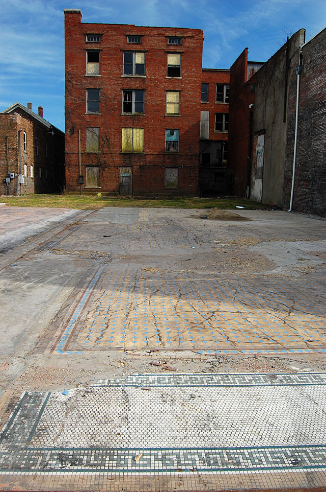
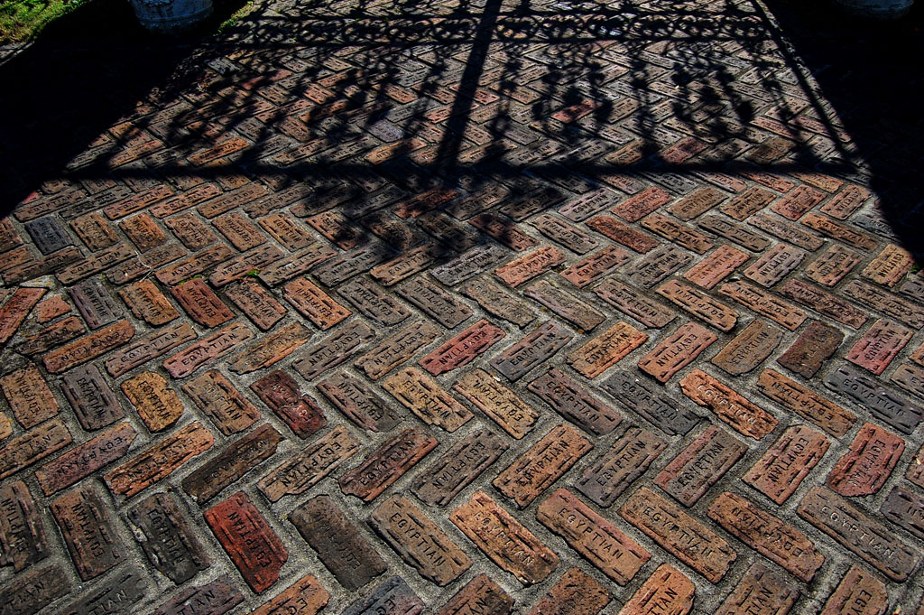
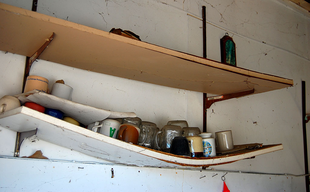
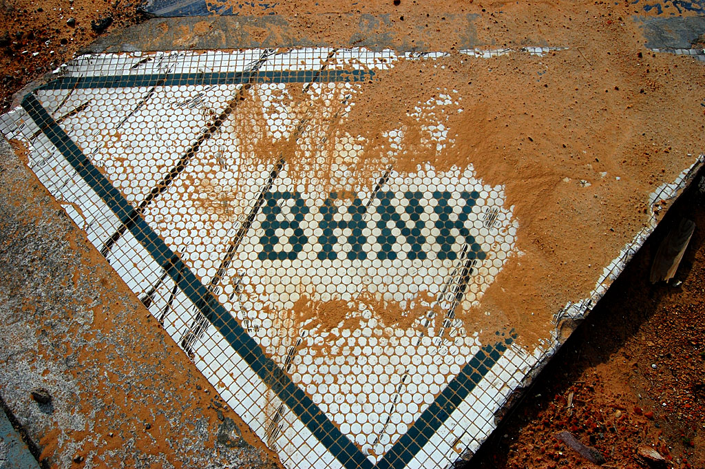
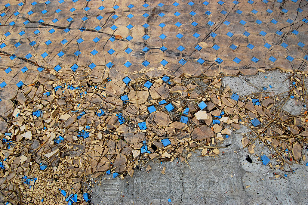
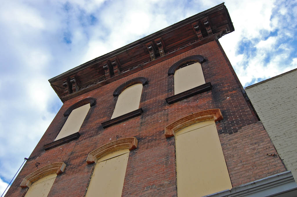
 I was explaining to them how there are a lot of places where the building has been knocked down, but a tile floor might be left behind and that I still have a tiny piece of blue tile from this floor as a souvenir.
How did the interview go?
When they had all they could stand, Beth said, kindly, “Well, at least I didn’t have to ask you any questions.” I think that was a diplomatic way of saying I kept up a running monologue and didn’t give her an opportunity to ask any.
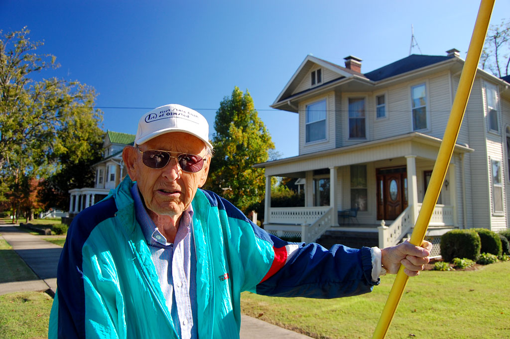
Jackson Liong grew up in Cairo
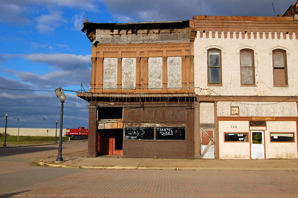
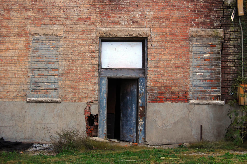
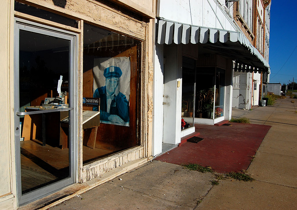
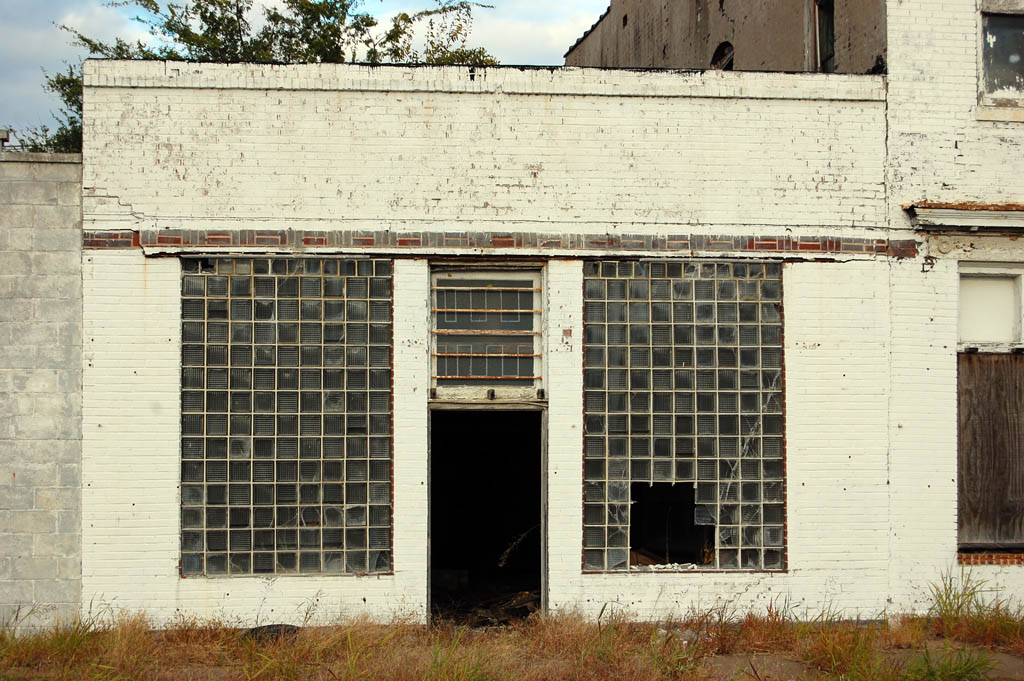
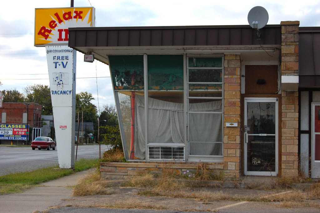
 After finishing with me, they interviewed Jackson Liong, a young architect who came from the Philippines with his family. He lived in this small white building that had once been a doctor’s office.
He remembers when there was a Coke bottling plant at the west end of his street that produced so much traffic that there was a traffic signal where it intersected with the main drag. That and a second traffic signal a few blocks away caused drivers’ ed classes from some of the smaller towns to come all the way to Cairo so their students could experience a traffic light. There are no traffic lights in Cairo today.
When Jackson left for college and his family moved to California, Jackson’s uncle, who owned the house, turned the keys over to the city. He and I wondered why a house that was good enough to live in hadn’t been turned into a rental property or sold by the city to generate revenue. As it is, it’s being eaten by one of the largest poison ivy plants I’ve ever seen.
Zero tolerance for speeding
 Crew member Tony Gerard, Jackson and I were reminiscing about how Cairo had a reputation for being a speed trap. Dad always told me that the speed limit in Cairo is 30 miles per hour, not 31.
Tony said that he read somewhere that Alexander County was the only county in the state that depended on traffic fines to meet its city payroll. Ironically, the city is so poor today that there have been times when the police department couldn’t buy gas for their cruisers. In fact, some of the cars are even provided by outside agencies.
Part of the problem, Jackson said, is that Cairo has an infrastructure that was built to support a population of 20,000; with about 2,000 people living in the town, there isn’t enough of a tax base to pay for public services.
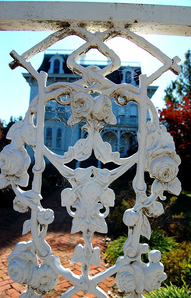
House hides its eyes
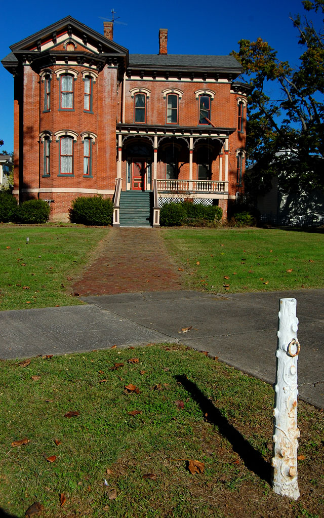
 While Bettyrocks was shooting Jackson, I turned to this house across the street. I liked the dark foliage framing the house and the way the the windows looked like they were winking at me. It wasn’t until I saw it on my computer screen that I noticed the tendrils of vine that look like bony fingers trying to cover its eyes.
Catfish at a BBQ joint?
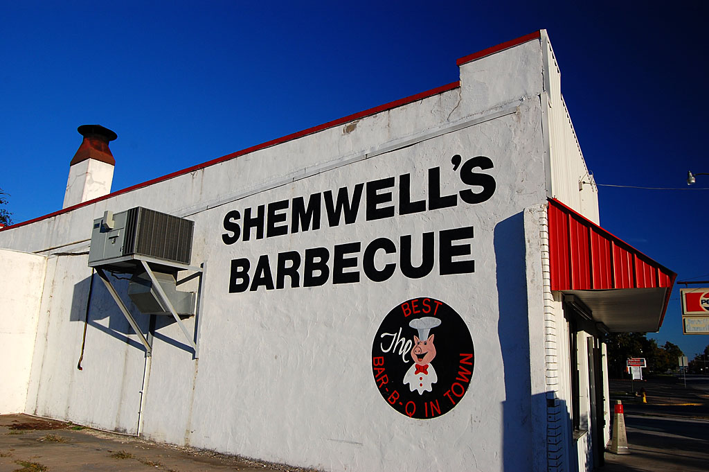
 The only place open for lunch was Shemwell’s BBQ. (Actually, there are only about three places in town to eat when it’s NOT a holiday.)
I’ve had many a barbecue sandwich in there over the years, but I was pleasantly surprised to see a sign offering catfish. After being assured by the server that the fish was good and that I wouldn’t choke on a bone (“My family will sue the owner if that happens, but I’ll haunt YOU for serving it to me.”), I gave it a try. I’ll never order barbecue there again. The catfish was great.
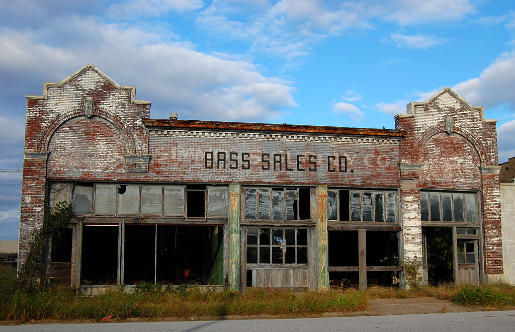
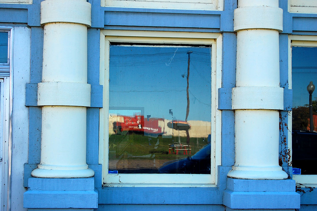
We’d been dodging rain all morning, but the sun was shining bright when we left Shemwell’s. As soon as I pulled out of the parking lot, this house grabbed me. I could have gone home right there and considered the day a photographic success. I love the vibrant colors and the abandoned car with the broken windows.
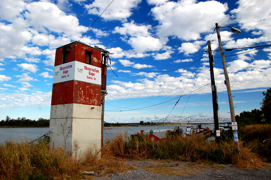
61 feet, point 72 inches
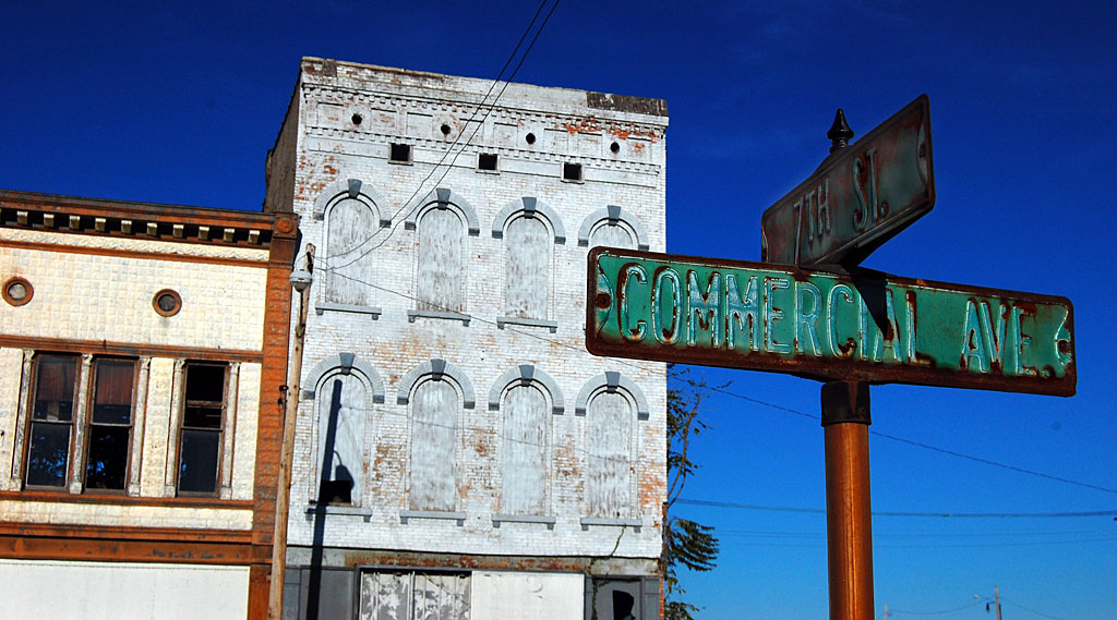
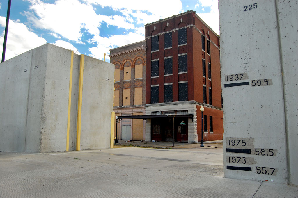
 After leaving the Bettyrocks folks, I futzed around updating what’s left of downtown. The Ohio’s down enough that the floodgates are open and you can drive on the riverfront. Someone marked the high water mark on the floodwall.
It crested on May 2, 2011, at 61.72 feet. On the other floodwall opening, there are marks for other crests. The Grandaddy of them all had been the 1937 flood, which had reached 59.5 feet.
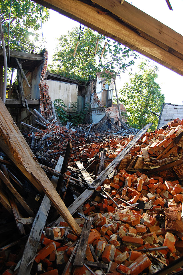
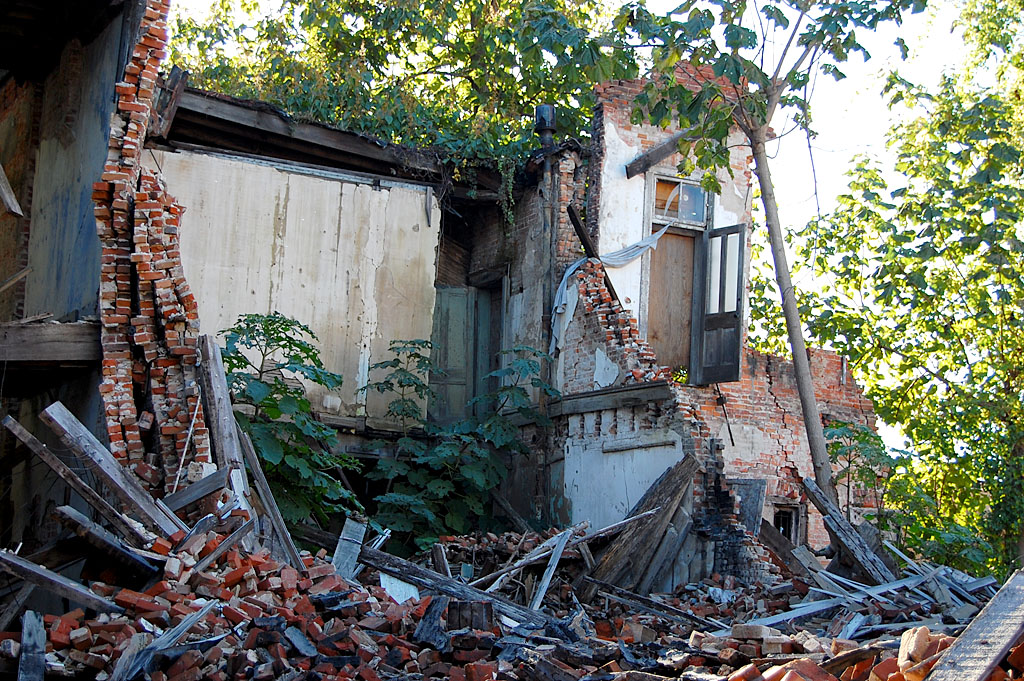
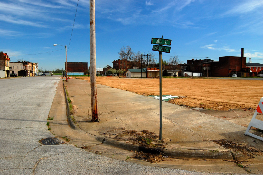
The sinkholes that ate Cairo
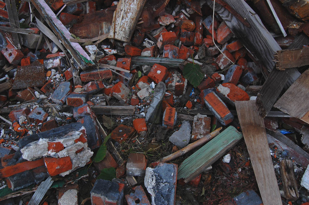
 All of the pressure from those flood waters opened up sinkholes in Commercial Avenue. I’m no hydrologist, but I bet Cairo came very close to a boil or blowout that would have filled the town like a bathtub when the sewer backs up.
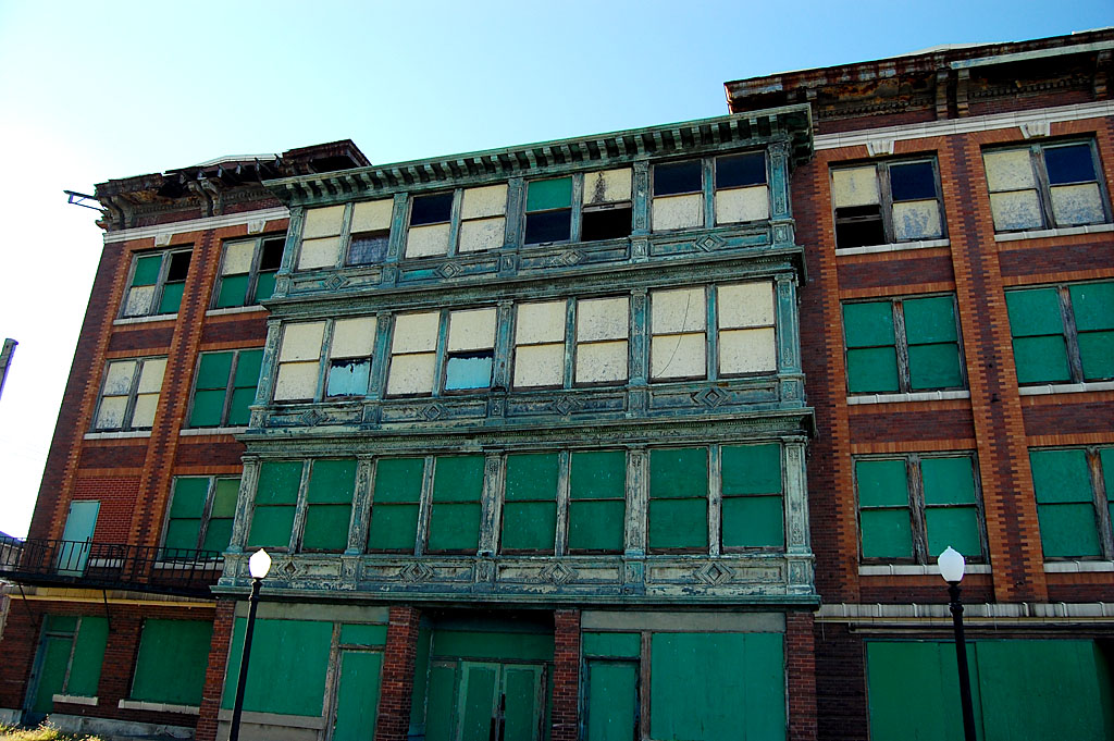
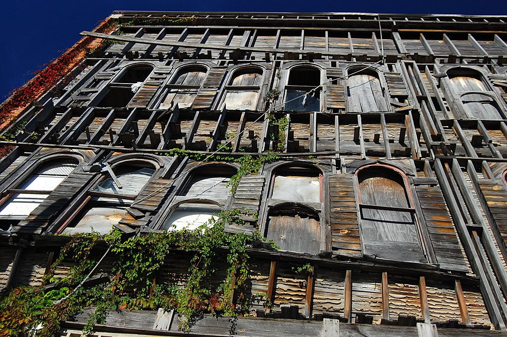
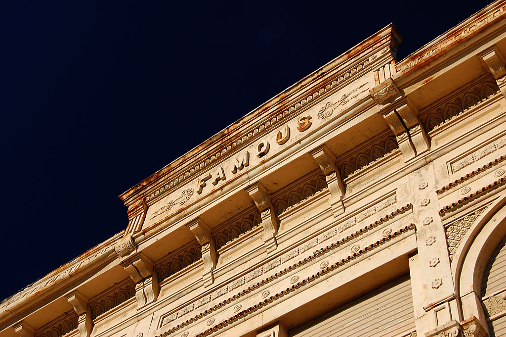
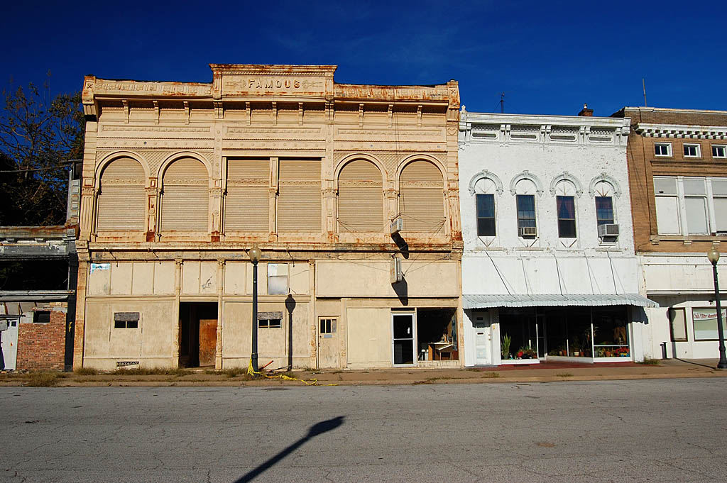
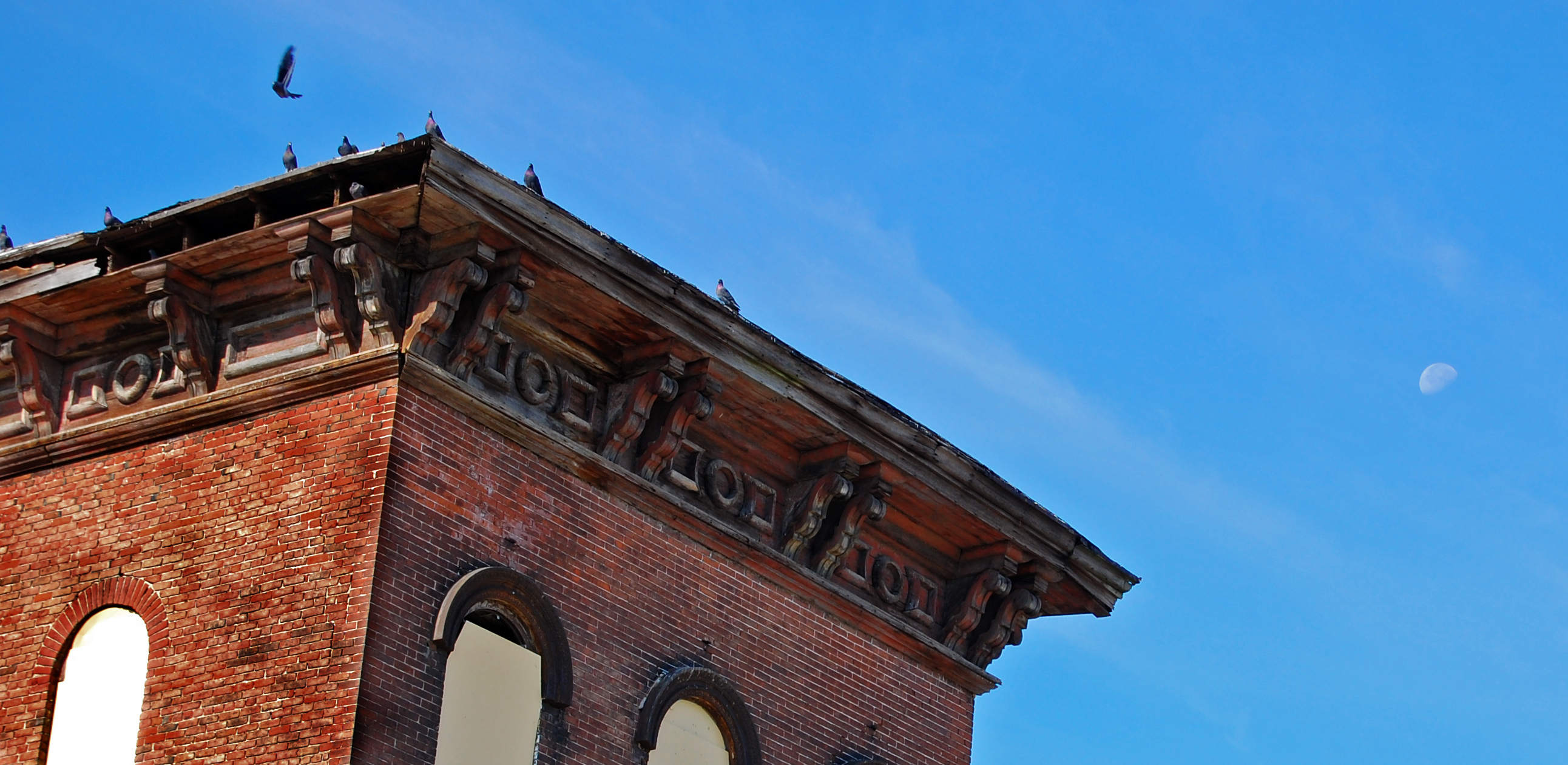
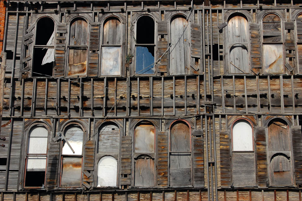
The spirit of the building is escaping
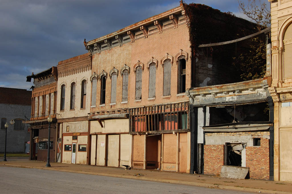
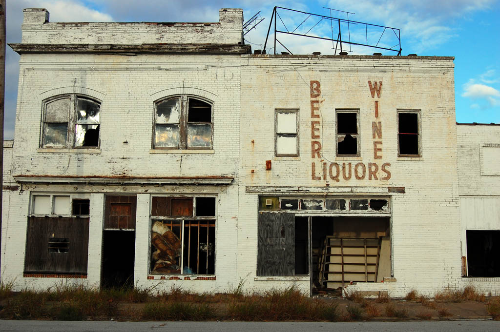
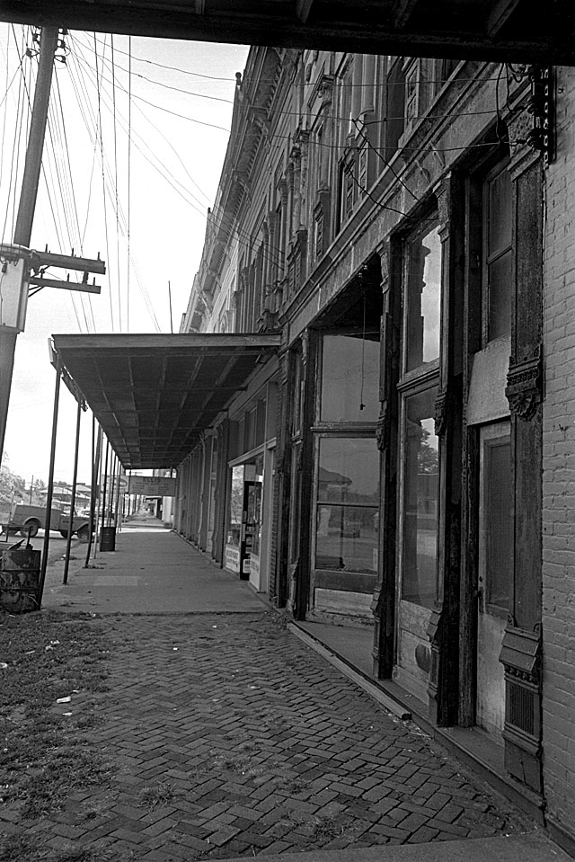
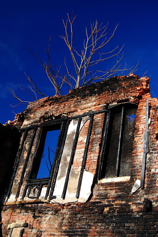
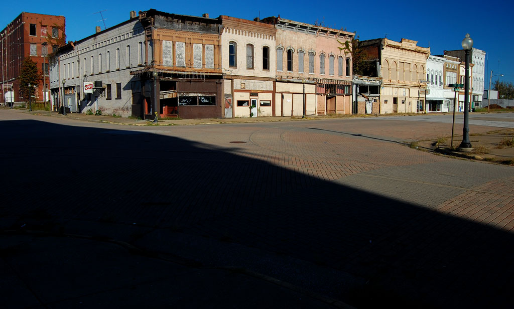
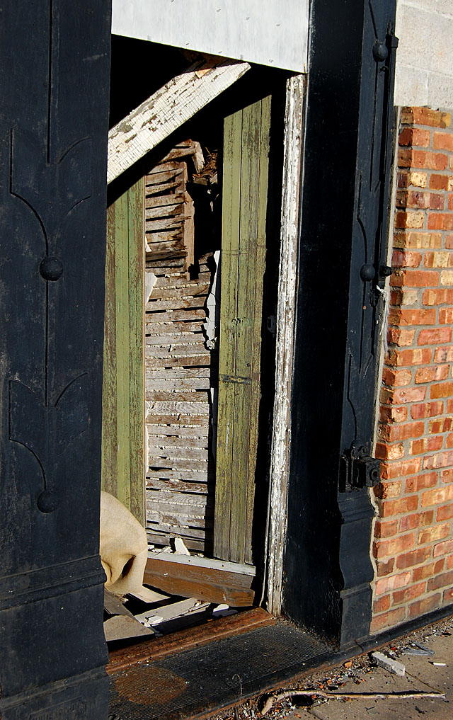
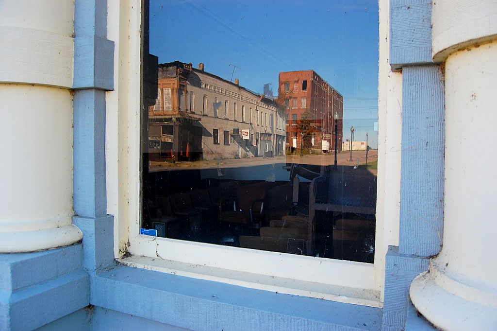
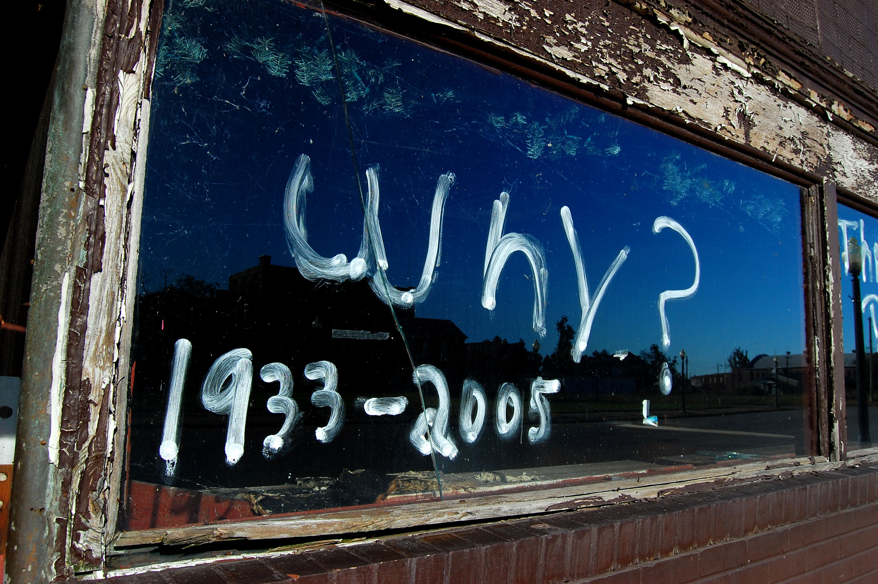
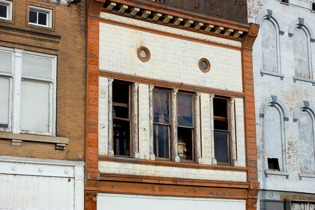
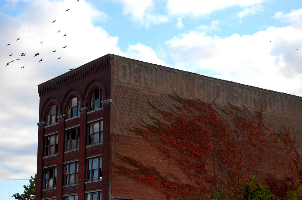
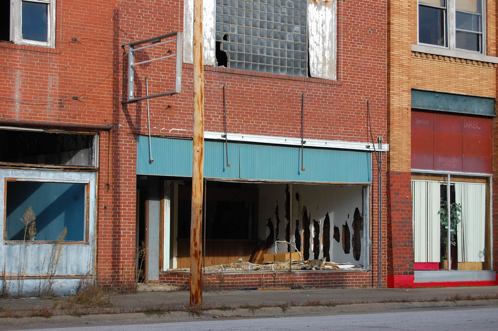
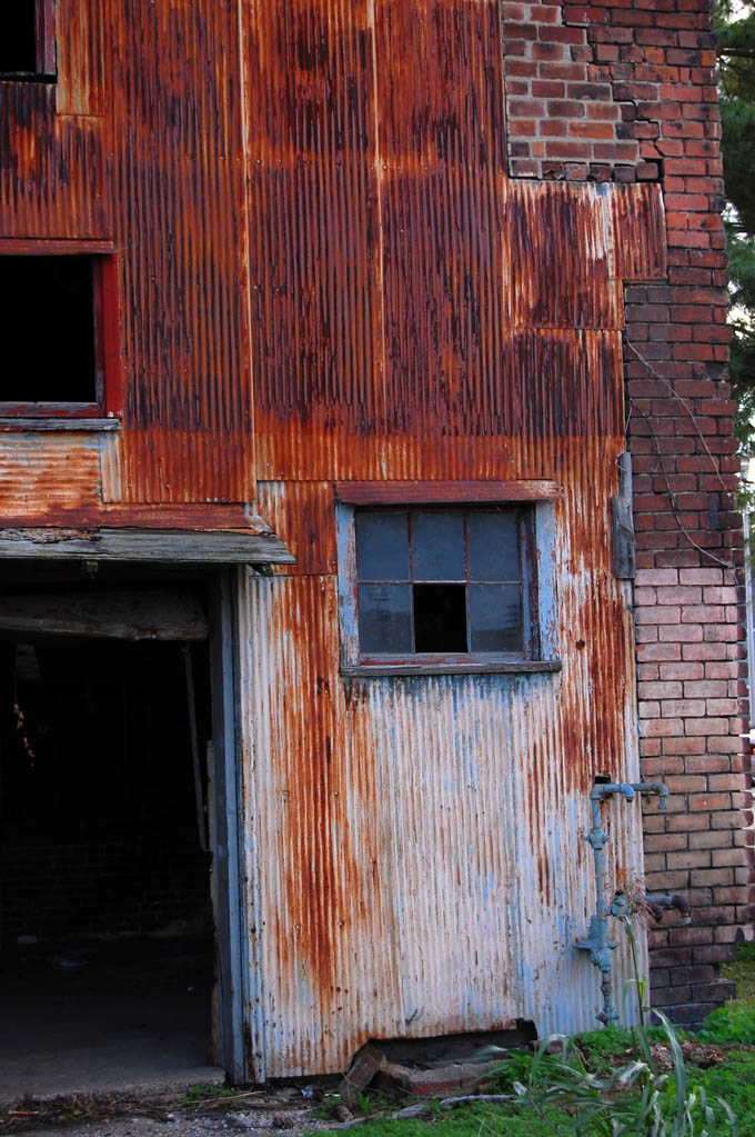
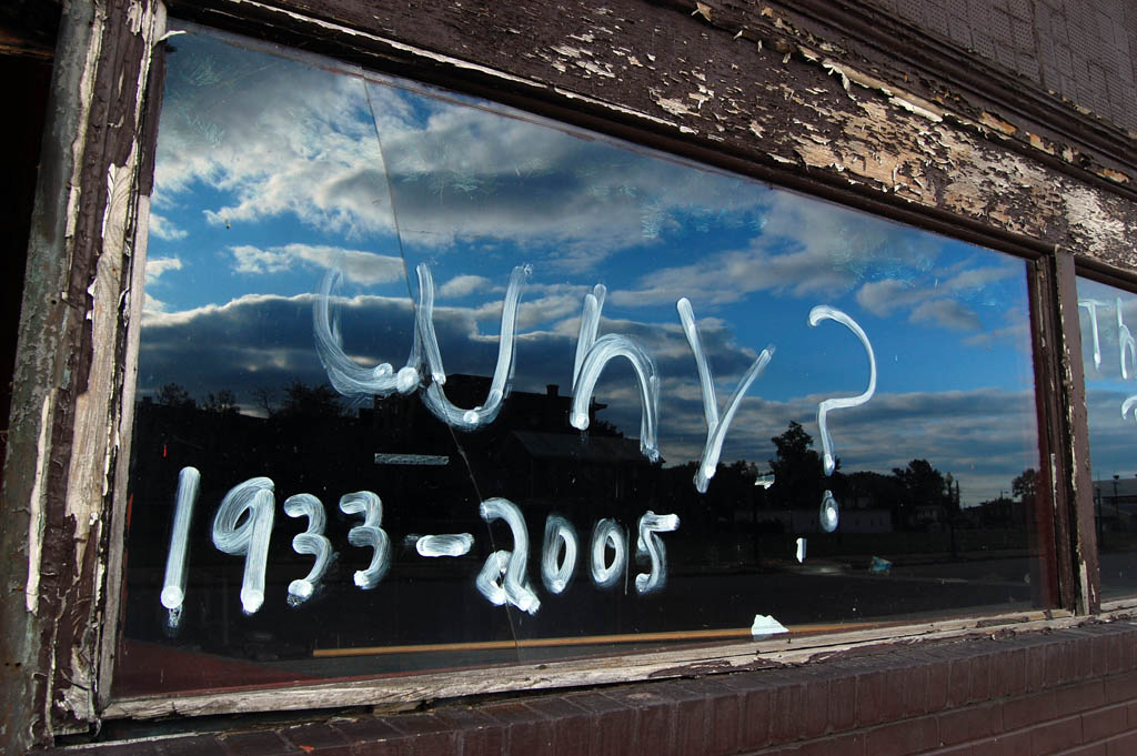
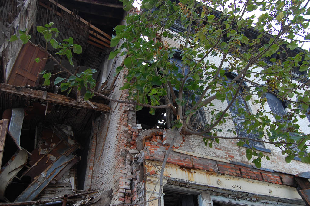
 I paused with the crew when some movement in the broken window caught my attention. Wasps were swarming in and out of the building. Going off on a tangent that would have made my fine arts profs proud, I said that Cairo is a town of subtraction: that every time I come back, there’s a little less left. “Even the buildings look like the spirits are escaping them.”
Flag on The Fourth
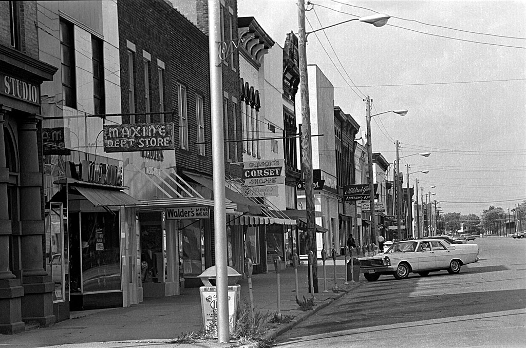
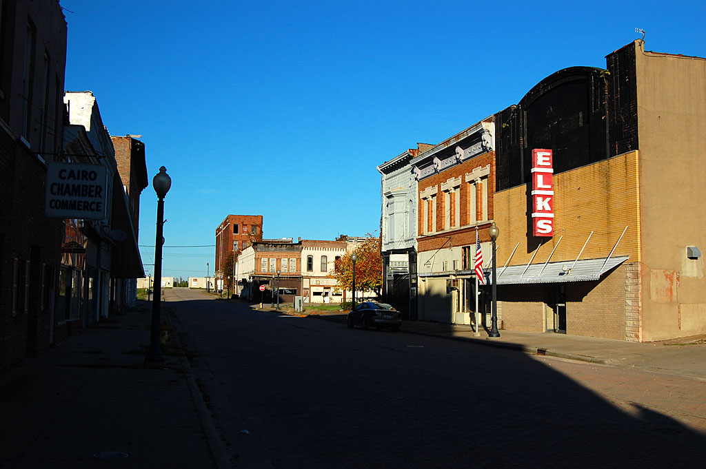
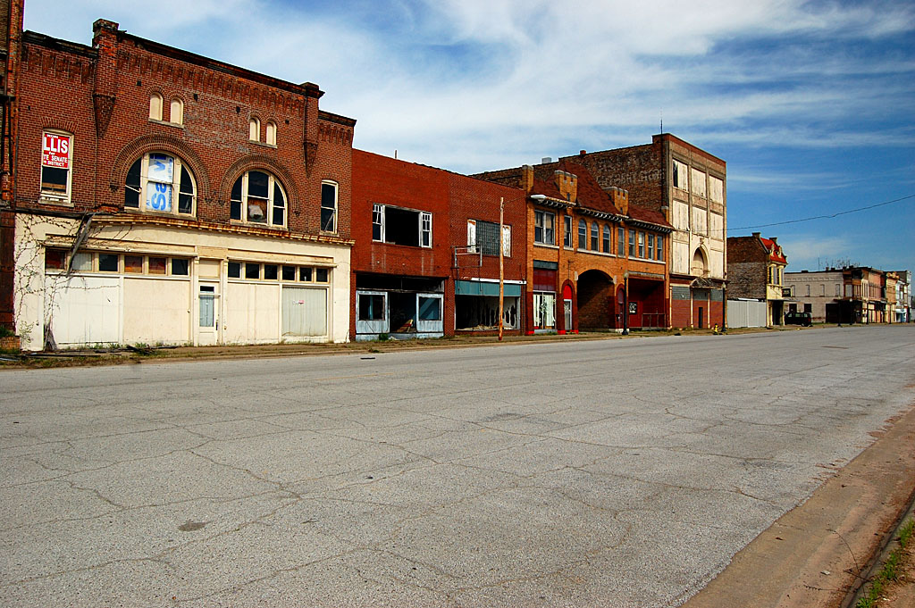
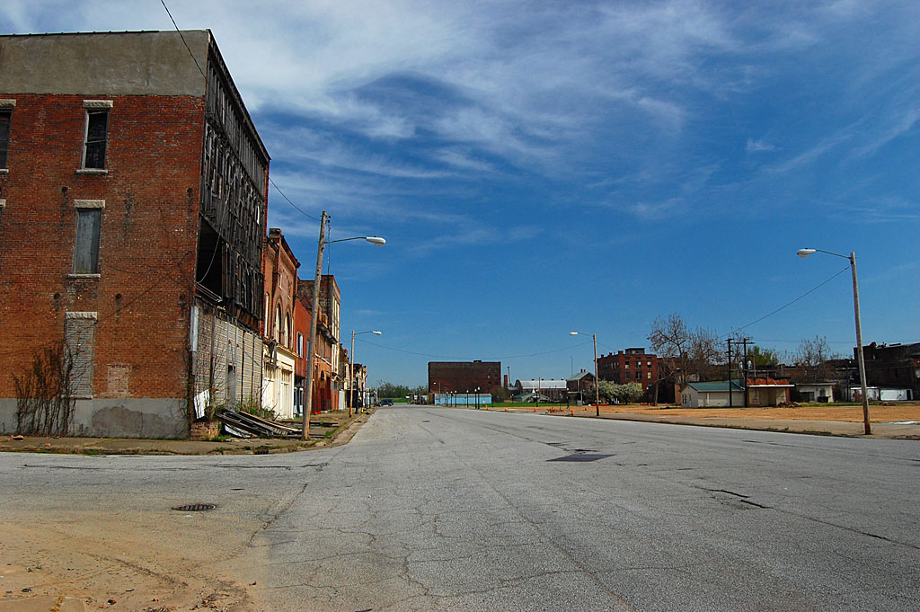
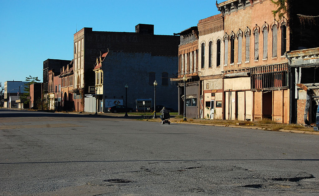
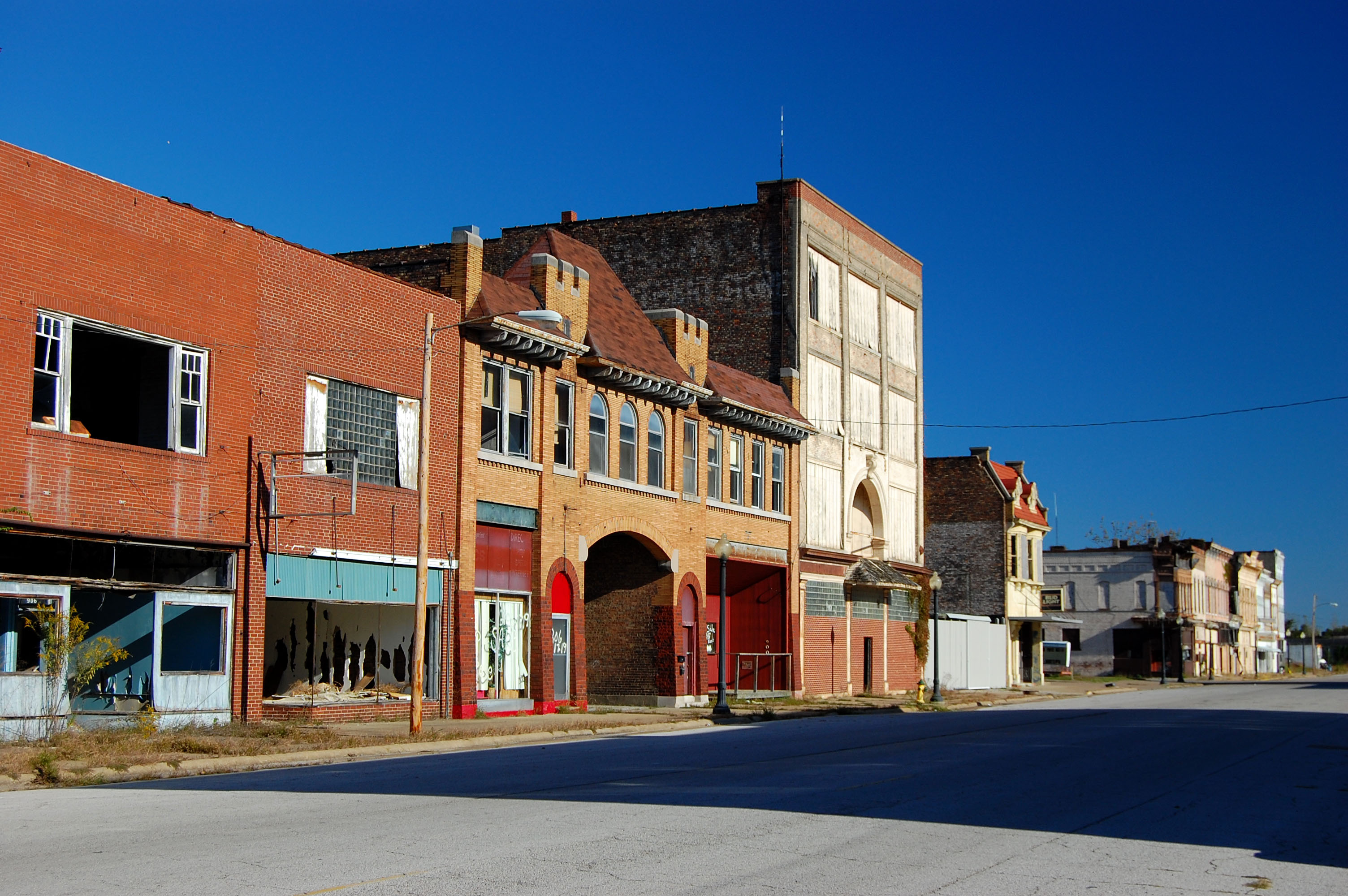
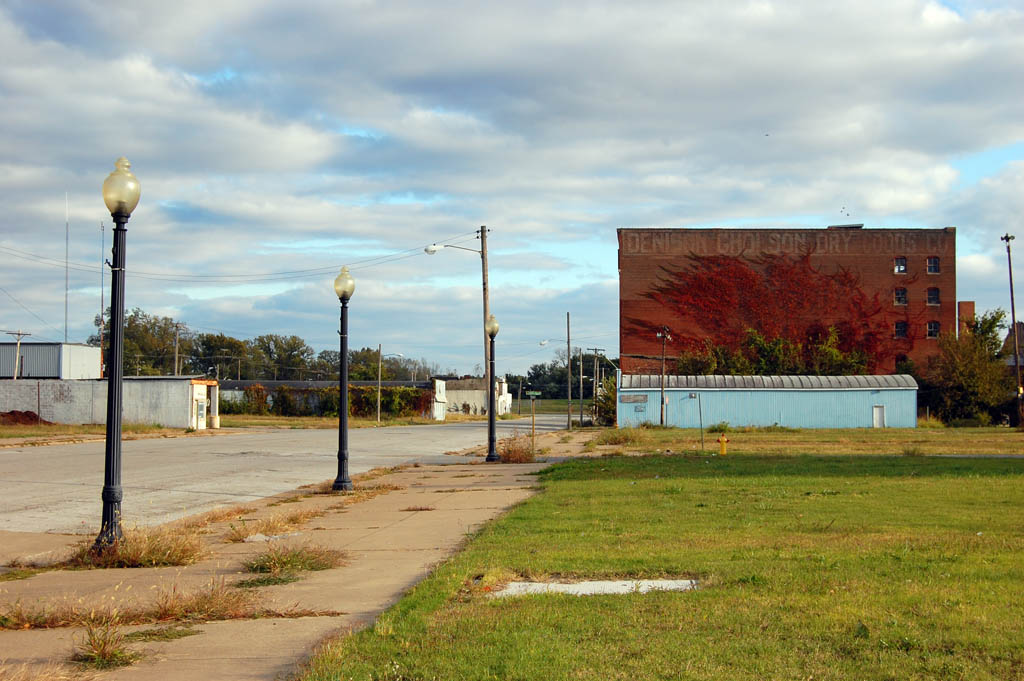
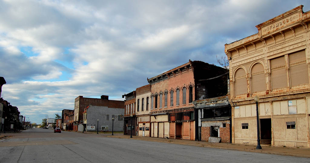
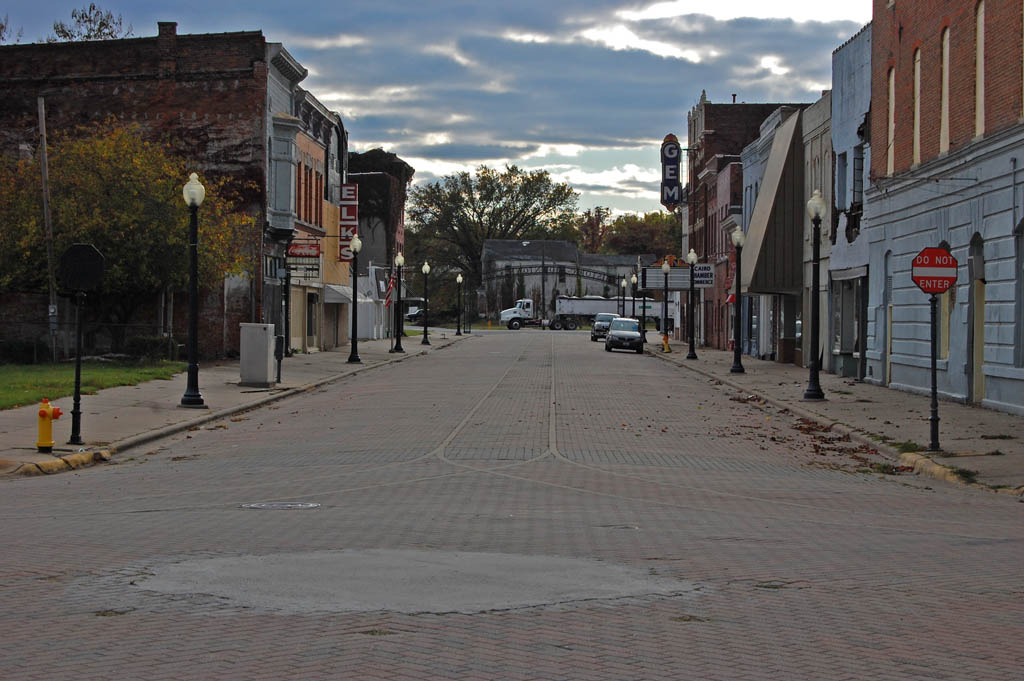
 With that thought, let’s move on to a gallery of photos taken on the Fourth of July. It dawns on me that except for the film crew, the folks being interviewed and a handful of people in Shemwell’s, I don’t think I spoke to but two people in the whole town. I walked the length of Commercial Ave. twice for about two hours and didn’t see a soul to talk with. There was one shirtless guy on a park bench, but he was about 100 yards away, so I’m not counting him.
I don’t know if I’m to go back to Cairo. I’m beginning to feel like a ghoul. The pictures are all starting to look the same to me. I don’t know what more I can add.
Other Cairo stories I’ve done
Photo Gallery of the Fourth of July in Cairo
Click on any photo to make it larger, then click on the left or right side to move through the gallery.

 I was working on a project that sent me on a wild goose chase to Wilson City, east of Charleston and west of Cairo off U.S. 62. Had the bridge not been closed, I could have been in Cairo in less than 10 miles. Mother was along for the ride, so I told her we should go down to see Bird’s Point since we were so close. I plugged it into the GPS and we were off on an adventure.
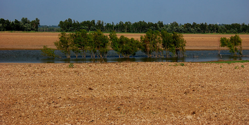
 We saw scores of wading birds taking advantage of the fish trapped in water left behind after the flood.
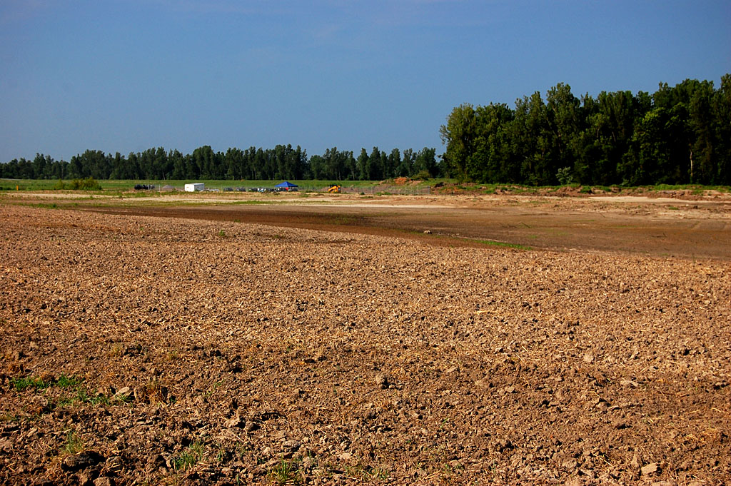
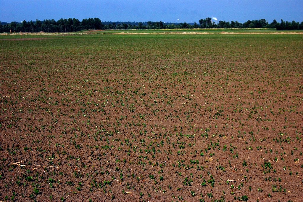
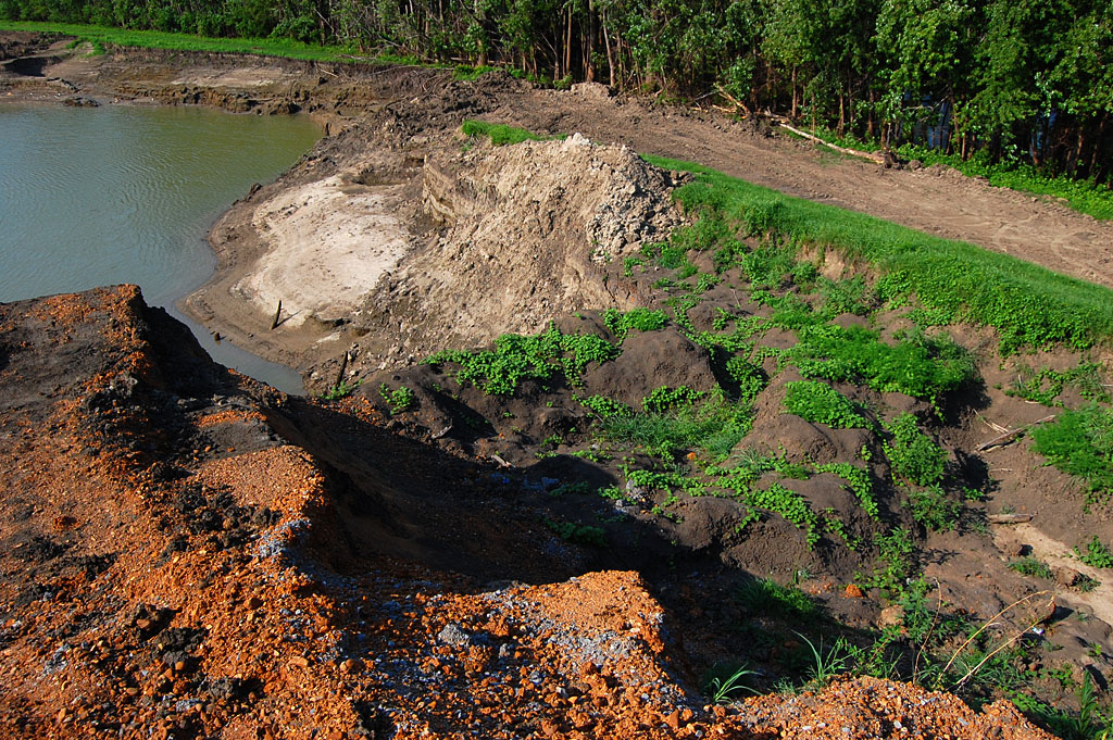
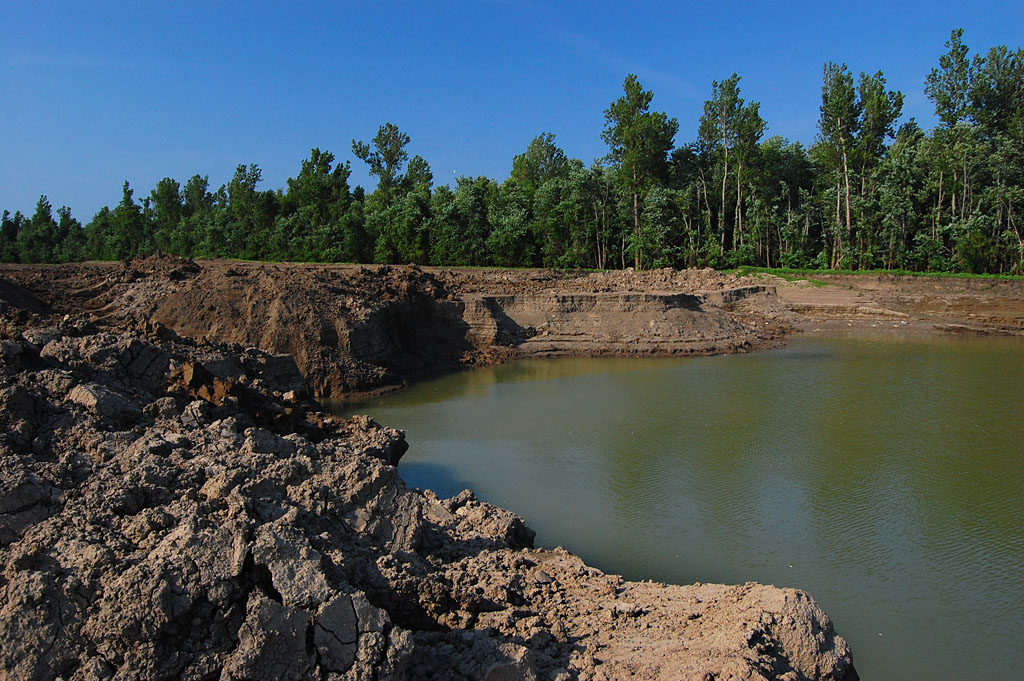
 Despite dire predictions that the fields would be ruined for decades, we saw plenty of evidence that farmers were able to plant a lot of crops as soon as the fields dried out. In fairness, we only saw a tiny fraction of the land that had been flooded. I’m sure there ARE parts that have been turned into moonscape and are buried under huge deposits of sand. My point is that not ALL of the land has been ruined.
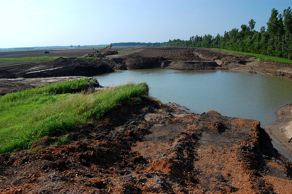
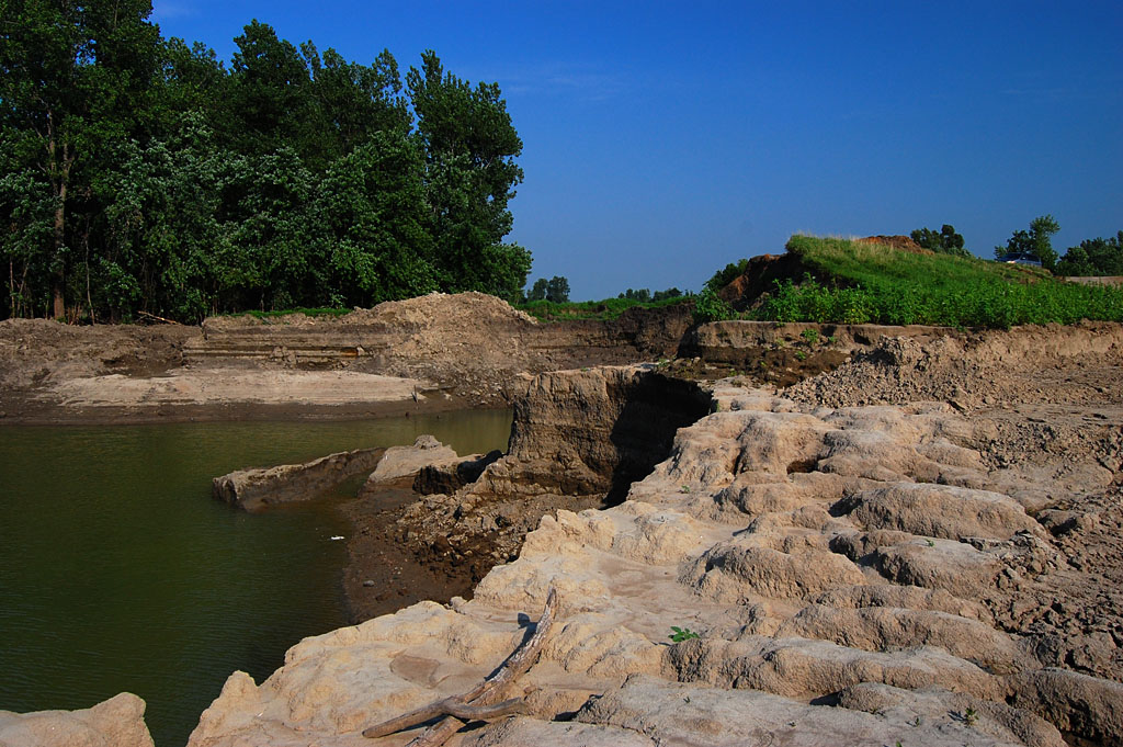
 CR 303, the levee road, ended abruptly at one of the places it was breached. The massive flow of water gouged deep holes in the ground. My van parked atop the levee will give you a sense of scale. I’m guessing the levee is about 15 feet above surrounding terrain. The bluff in the foreground are 15 or 20 feet below that, and I don’t know how deep the water is in the pit.
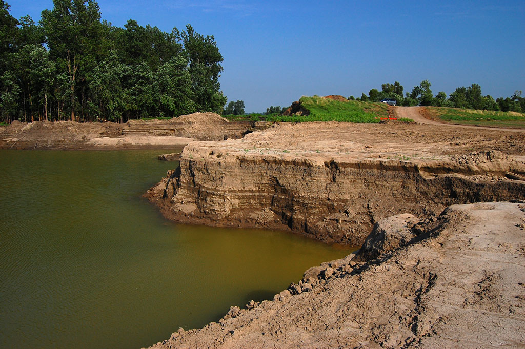
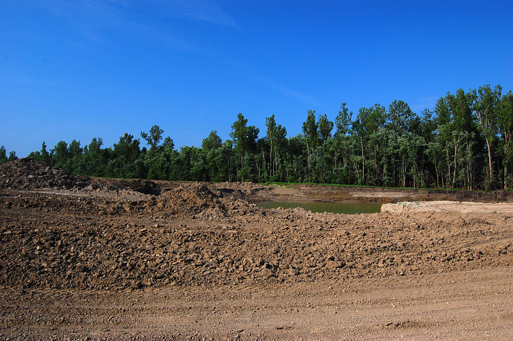
 As impressive as that is, if you turn 180 degrees and look the other direction, the fields are clear and have been planted. I don’t know how much work it took to get them into that condition, but looking at the gouged earth without looking at the planted fields will give you the wrong impression, and vice versa.
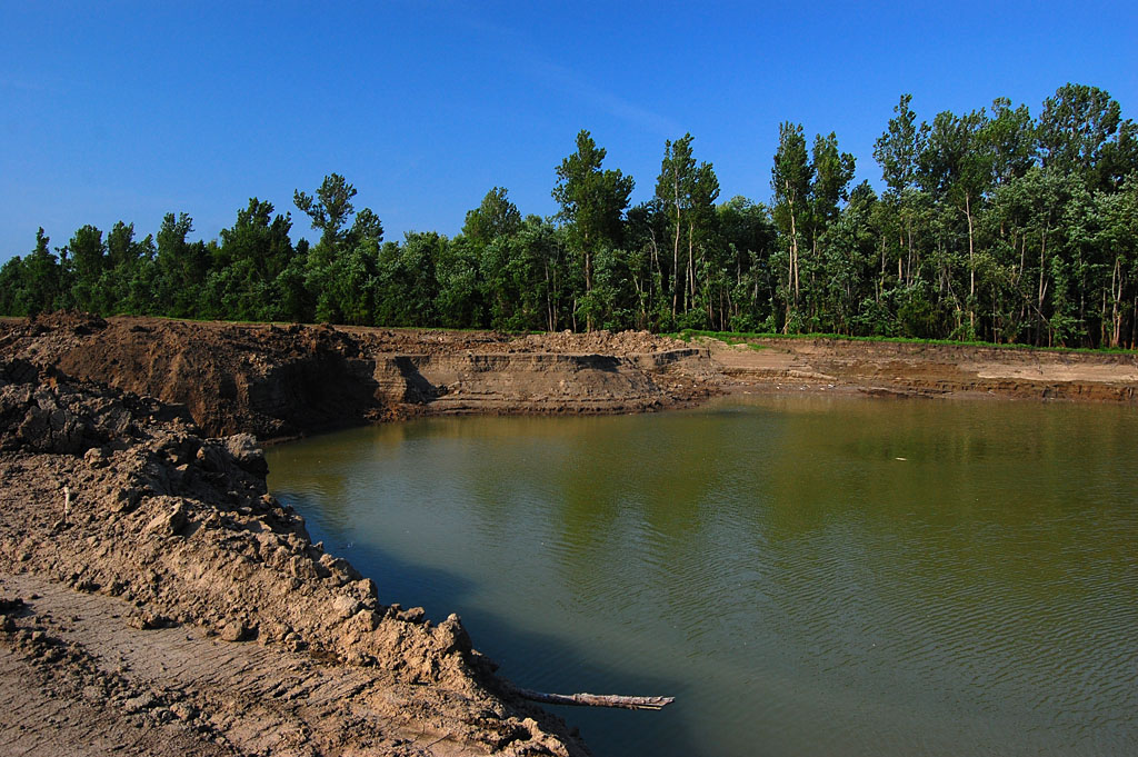
 I don’t know if this equipment belongs to farmers or if it’s there to repair the levee. I didn’t want to interfere with whatever work they were doing, so I didn’t go down to ask.