Razing St. Charles Hotel

Razing St Charles Hotel 04-13-1967These are a present to the SEMO student working on the Main Street Project who drew the St. Charles Hotel as a subject.

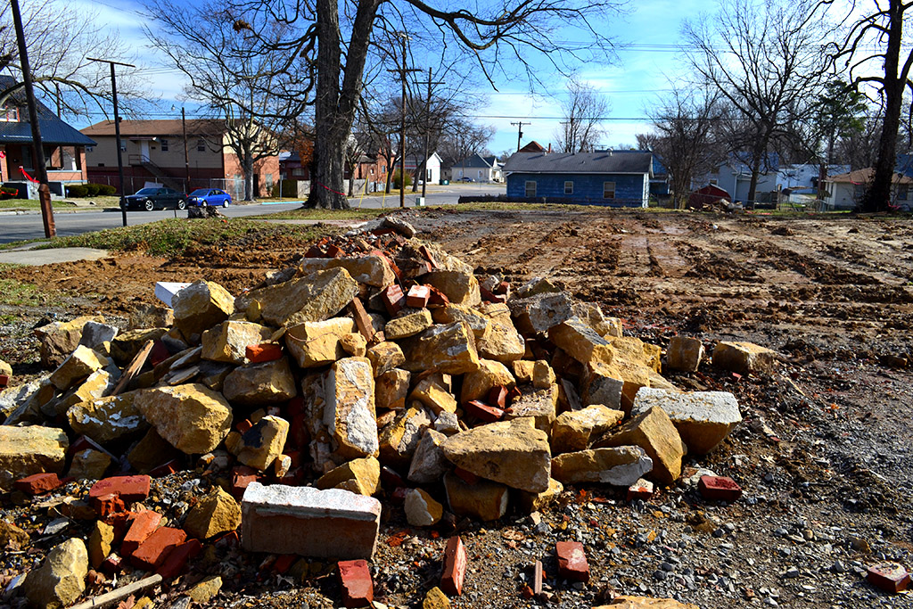
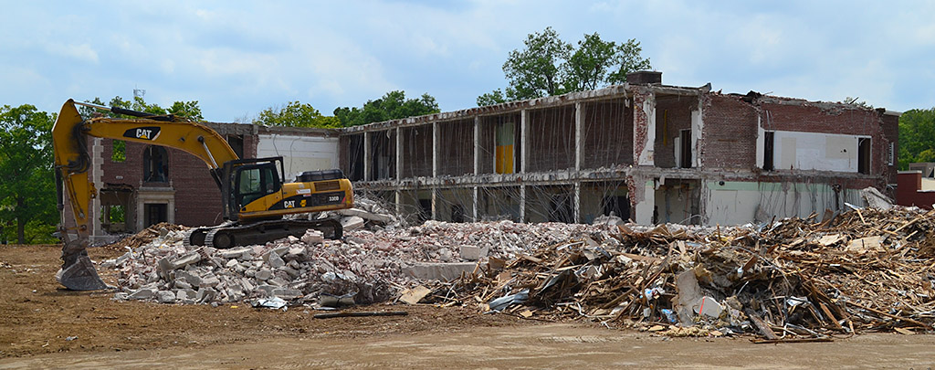
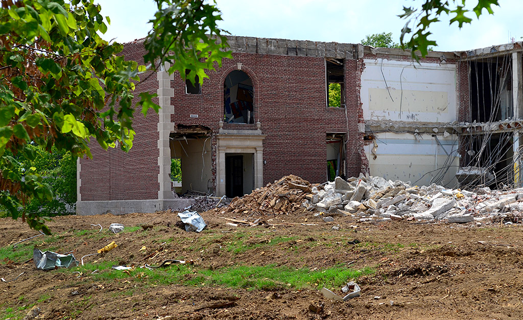
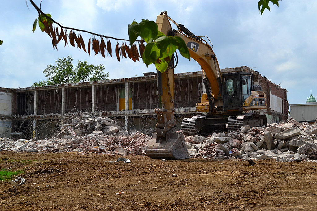
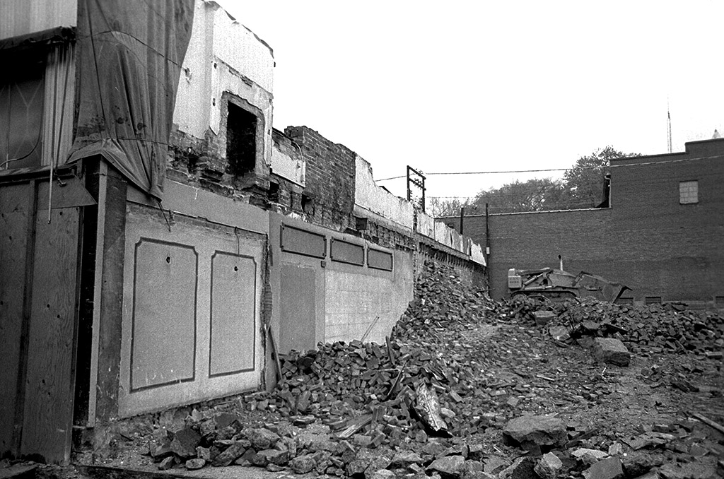
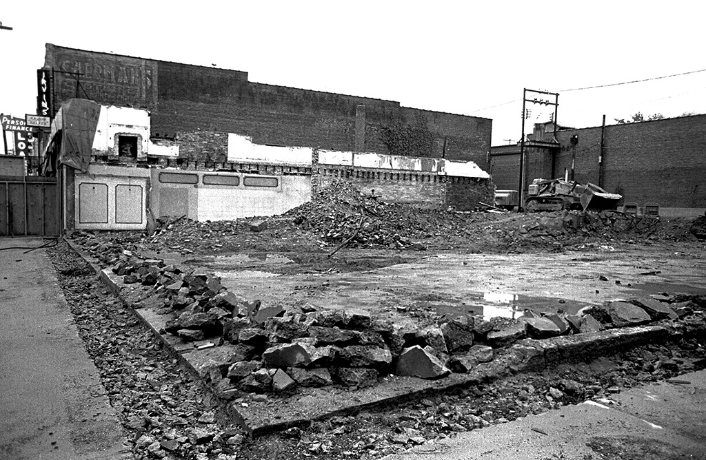
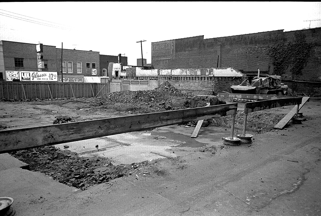
These photos were taken April 13, 1967, when it was all over for the historic hotel used as General Grant’s HQ during the Civil War.

Businesses to the south

Razing St Charles Hotel 04-13-1967I tried to read the painted sign on the building south of  the hotel, but I can’t quite make it out. It might be Sherman’s.

The City Directory lists Irvin’s Clothing at 39 North Main. That would be the vertical black sign with the white letters. Below it is a sign advertising Arrow Shirts. That could belong to Irvin’s or it might be for Main Street Clothing, which was at 35 North Main in 1968. Dolly’s Hat Shop was in the directory at 37 North Main.

Personal Finance Loans was at 31 North Main. You can see its sign. The directory lists Tony’s Jewelry and Thrift at the same address. The Sweet Shop was at 33 North Main, but I can’t see a sign for that business.

Sterling Variety Store was 41 North Main

Razing St Charles Hotel 04-13-1967The building that replaced the hotel was Sterling Variety Store, and it’s listed at 41 North Main.

Across the street you can see Lee Optical and Co-Op Drugs. I assume the Budweiser sign marks Cowboy’s Tavern.

St. Charles a month earlier

St Charles Hotel  3-11-67
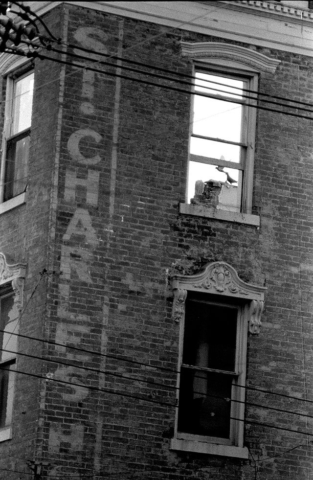
I took this picture of the St. Charles waiting for the wrecking ball on March 11, 1967. You can see more photos and read some history of the hotel here.

Jefferson School = Gone

Site of Jefferson School after demolitionYou’d never know that Jefferson School, built in 1904, ever existed if you drive by Jefferson and Ellis Streets today. The building was razed at the end of 2012 after it was determined that it was structurally unsound.

Tree, stump and stairs remain

Jefferson School North side 03-28-2010The tree on the left of the sidewalk, the stump on the right and the sidewalk are about all that remain of the school, pictured here March 28, 2010.

Overall view looking south

Site of Jefferson School after demolitionThe piles of dirt in the background were hauled in to fill in the building’s basement. A worker at the site said they brought in more than was needed, so it will be removed. The area will be seeded soon.

Looking west toward Ellis Street

Site of Jefferson School after demolitionThis is looking west toward Ellis Street. An Erin Ragan story in The Missourian Dec. 28, 2012, reported that some of the brick and limestone from the school will be incorporated into a building for Prodigy Leadership Academy.

Earlier Jefferson School stories

Site of Jefferson School after demolitionThis photo was taken looking east down Jefferson Street. Here are earlier stories about the school and its prospects for survival:


Franklin’s North Wing Gone

I decided to make one last pass at Franklin School before leaving town. Looks like the north wing and the Kamikaze bees are gone. The old flagpole which had been knocked down and was on the ground in front of the school was nowhere to be found. I had hoped someone would salvage the unique base, but it’s probably buried in one of those piles of rubble.

One of the reasons for tearing it down was that it was supposed to have cost too much to bring it up to earthquake standards. Based on the amount of reinforced concrete and rebar I see in the photos, it looks like it was built pretty well.

Franklin demolition photo gallery

Here are some other photos of the demolition. Click on any photo to make it larger, then click on the left or right side of the image to move through the gallery.

Is Flossie’s Cafe a Clue?

I have a couple shots of a building that looks like a barn or dairy being torn down. They were on a roll of random shots, including some from Capaha Park pool, I think. At first glance, I thought they might have been taken west of the intersection of Hwy 25 and Hwy 61 in Jackson, based on railroad tracks and the bridge at the right of the picture. That doesn’t feel right, though. Click on the photos to make them larger.

Flossie’s Cafe and Frontier motel

When I blew up the frame to try to remove scratches and dust spots, I noticed the billboards at the far right of the frame. One of them says Flossie’s Cafe with a Pepsi logo and something about breakfast. In front of it is a sign with an arrow pointing to the left for Frontier, which I assume is a motel. It’s AAA-rated and has telephones and “Free ‘T.V.”

Elect Bill Rose and drink milk

This photo has several more clues. It has to be Cape County, because we’re supposed to “Re-elect Bill Rose,” a Democrat, for County Collector. Another billboard advertises Quality Dairy Products from Southeast Dairy. There’s a Texaco station up (down) the road.

So, where is this? It has railroad tracks in it, so Keith Robinson will probably not only know exactly where it is, but he’ll tell us who drove the spikes and the name of his dog.