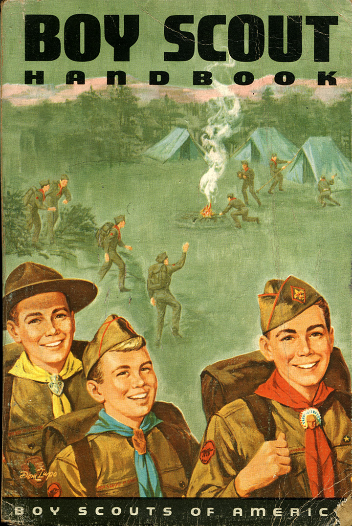
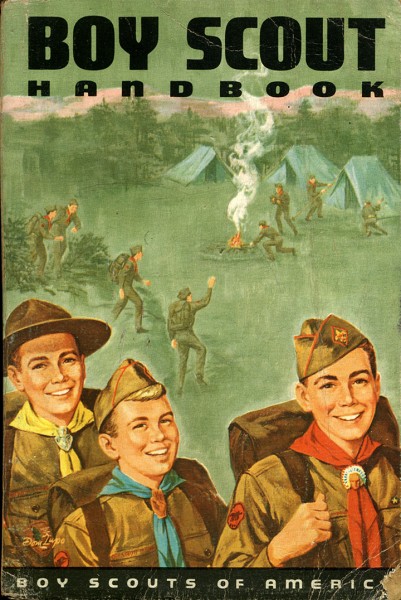
 I don’t know what caused me to look up when I was carrying the newspapers out to the recycle bin, but my eyes locked on some of my old Boy Scout books that were on the top shelf of the living room bookshelf. My 1965 Boy Scout Handbook was up there, but I was disappointed that my favorite 1959 Fifth Edition wasn’t sitting next to it.
The 1959 Handbook was a smaller-sized book with a two Scouts and an Explorer sitting around a campfire whose smoke is forming an Indian behind them. The back cover had an ad for U.S. Royal bike tires that showed a uniformed Boy Scout pedaling his bike up a hill. You can see it on Troop 97’s website.
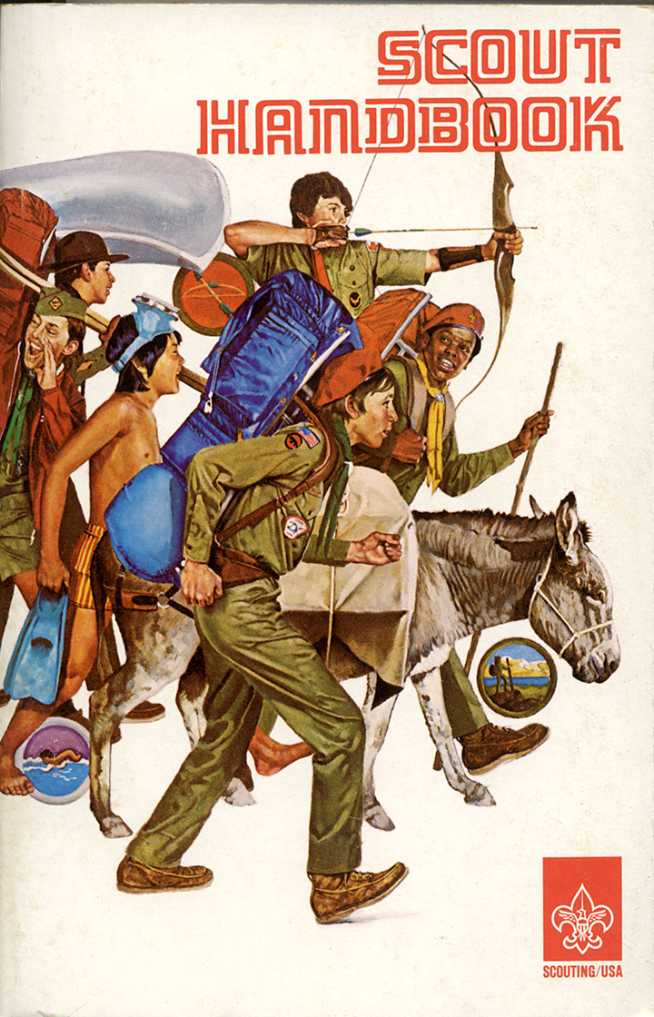
1976 Handbook is politically correct
 By the time my boys entered Scouting, the 1976 Scout Handbook’s cover had embraced cultural diversity.
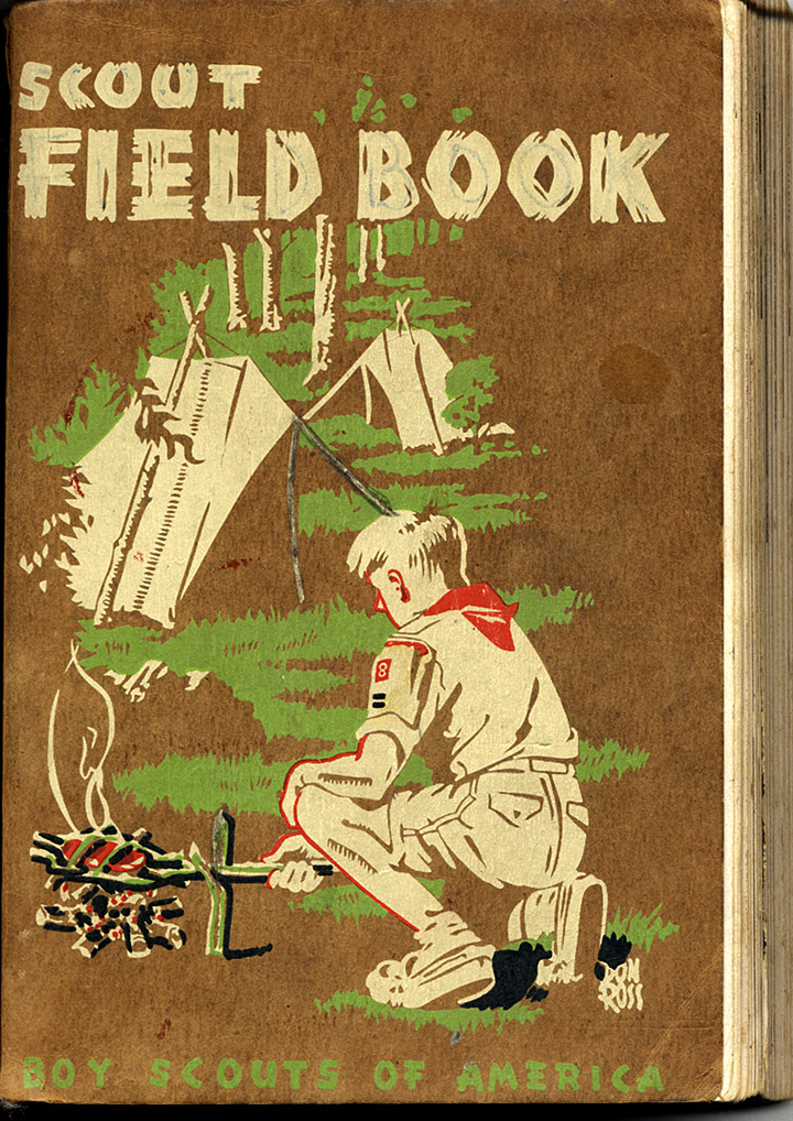
First Edition 1948 Scout Field Book
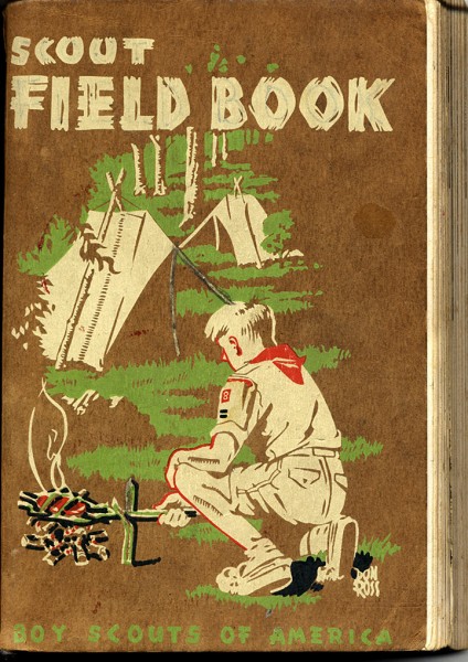 I think I liked my 1948 Scout Field Book even more than my Scout Handbook. It was a much-thumbed how-to book. The introduction to the next edition said that more than a million copies of the 1948 Scout Field Book (two words in my era) were “bought, used and treasured by Scouts and Scouters.”
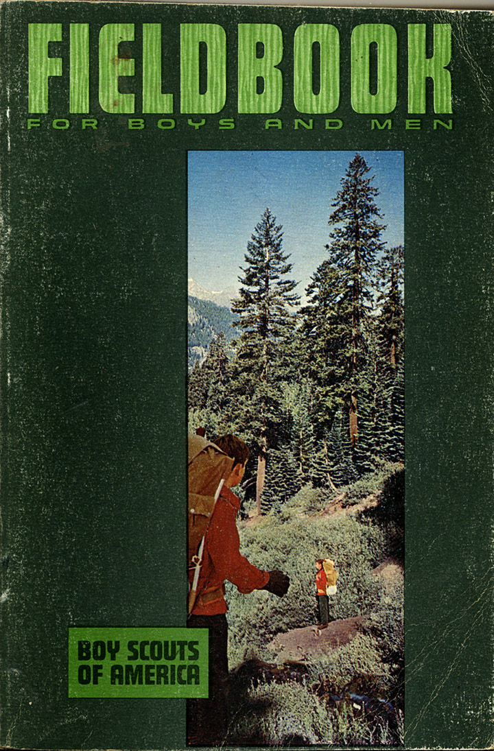
Dad’s 1967 Fieldbook
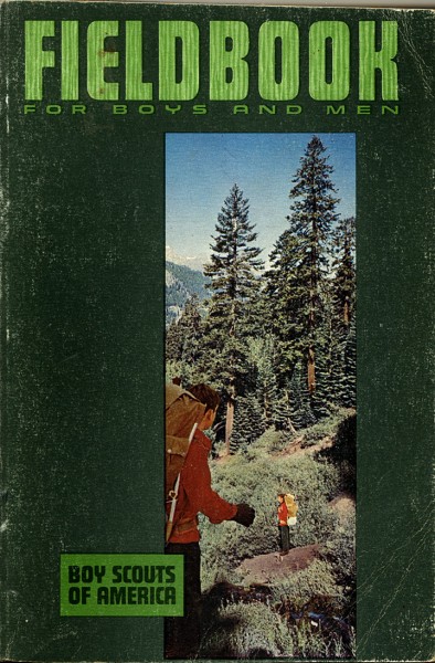 This is Dad’s 1967 Fieldbook for Boys and Men that he used when he got active in Scouting with Brothers Mark and David.
The introduction to the Fieldbook (one word in 1967), says it “is a book of action. You won’t sit very long in an easy chair reading it – you’ll want to go outside to try the nature projects, to give the exciting menus a whirl over an open fire, to pitch your tent; yes, even to build an igloo.”
Merit badge books
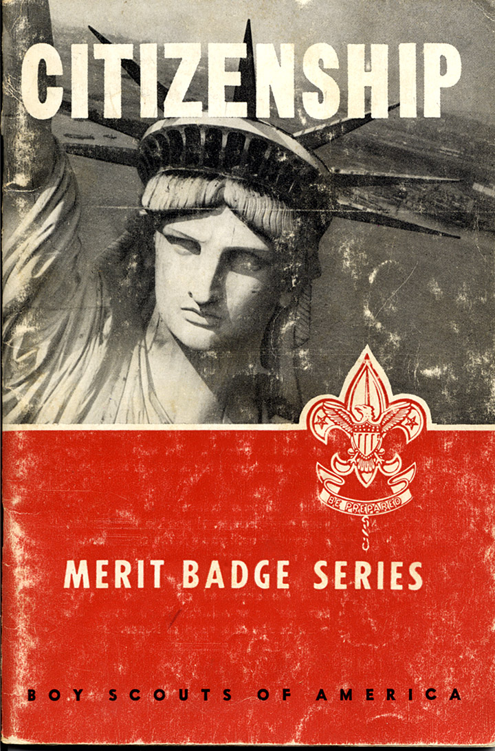
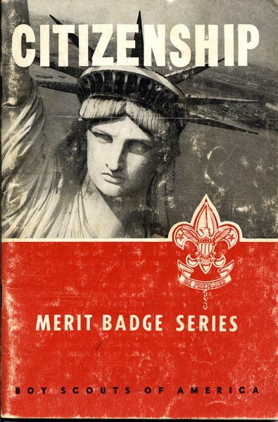 The merit badge books all had a distinctive red bottom and a photo at the top. I had a whole shelf full of them covering topics I knew I’d never use to earn a merit badge. They were just too good to use as reference books to pass up for the price. This is the 1959 printing of the 1953 Citizenship book.
I only made it to Life Scout rank. It took 21 merit badges to qualify for Eagle, but they had to include specific ones. I had more than enough badges, but picked topics I was interested in rather than what was required.
The final step was when you had to make an appointment with a merit badge counselor to demonstrate your proficiency in the topic. That meant that you had to reach out to an adult expert who would review your qualifications and determine if you passed or if you needed more work.
Some troops that I dismissed as “Eagle Scout Factories” would bring in counselors who would pass a group of boys at a time. Even as a Scout, I thought that was shortchanging the experience. Screwing up your nerve to call the counselor, usually a stranger who could be a bit intimidating, was an important learning experience.
Dad served as a counselor for a number of merit badges. If he signed off on your merit badge, you knew that material. He wasn’t afraid to tell a boy that he needed more work and to come back when he was ready to try again.
Other references
When I think of the Scoutmaster’s Handbook, I think of Scout Executive Paul Berkbigler who was the epitome of a Scouter.
Colorado Troop 97 has some excellent information about the BSA handbooks.
You can see a Centennial Timeline of Scouting and the Boy Scout Handbook on the BSA website..

 You’d never know if by looking at it today, but the present site of the town of Commerce was first occupied by French Settlers in 1788, making it the third-oldest present site in Missouri after St. Louis and St. Charles, per Wikipedia.