The Benton Hills

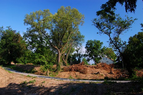
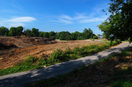
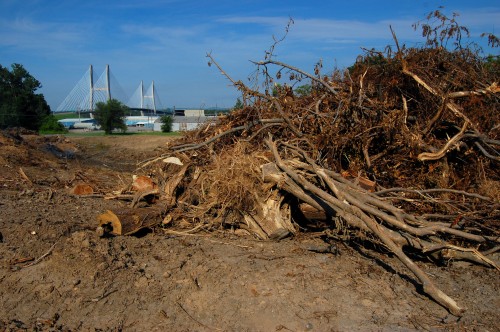
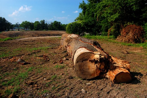
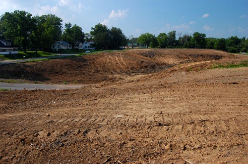
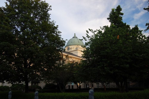
Just as I crested the hill near the 82.8 mile marker southbound on I-55 Monday, I grabbed my camera off the center divider to photograph the Benton Hills. I read a novel once that said that just south of Cape Girardeau you go down a hill that marks the end of civilization before entering the Bootheel and The Old South.

The Benton Hills are part of Crowley’s ridge that begins just below Cape Girardeau and extends south to Helena, Arkansas.

Most prominent feature in Mississippi Valley

Although it averages only three to twelve miles across, its height, up to 300 feet above the flat lowland, makes it the most prominent feature of the landscape of the Mississippi Valley from Cape Girardeau to the Gulf of Mexico, per SEMO’s Center for Regional History. Until the ridge was broken at the Thebes Gap, the Mississippi River used to run down the lowlands through Advance and Arkansas, with the junction of the Ohio and Mississippi Rivers being as far south as Natchez, MS, instead of Cairo, IL.

The Hills could play a part in The Next Big One, an earthquake like the New Madrid Earthquake that sent the Mississippi running backward and rang church bells in Boston.

River’s Going Down

When Buddy Shari and I tried to visit Wittenberg June 27, we encountered a sign that read “Road Closed.”

“Only one lane is closed,” I assured her as I dodged around the sign.

When we hit a sign that warned, “Road under water 500 feet,” I said, “We don’t have to worry for 499 feet.”

When we got to where the photo was taken, I said, “Looks like it’s only a couple of feet deep. We should be able to make it.”

“Let me out here,” she said.

“See, that’s the difference between you and my mother. Mother would say, ‘back up about a hundred feet and get a run at it.”

Muddy and dusty today

The road was passable today. I went down to Frog Town (once a Wittenberg suburb) where the old train depot was. The gravel road was a little wet in some spots and would kick up dust in others. There’s a general coating of dried mud over everything.

Broadway floodgate open

The river’s still high enough that the Themis floodgate is closed. The Broadway gate, which is on higher ground, was open July 13 and lots of people were taking advantage of it. What’s really nice is that folks become friendlier as soon as they step onto the riverfront. It’s easy to strike up a conversation with perfect strangers. Even the dog gave me a welcome slurp when I held out my hand.

I used to dislike the floodwall because it blocked the view of the river. I’ve grown to appreciate it because, on the other hand, it also blocks out the noise and bustle of the city, creating a quiet space where you can listen to the water going by or have a pleasant conversation.

Bird’s Point Levee July 2011

I was working on a project that sent me on a wild goose chase to Wilson City, east of Charleston and west of Cairo off U.S. 62. Had the bridge not been closed, I could have been in Cairo in less than 10 miles. Mother was along for the ride, so I told her we should go down to see Bird’s Point since we were so close. I plugged it into the GPS and we were off on an adventure.

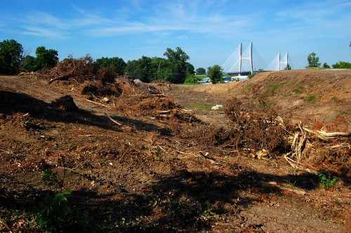
As best I can piece together, we came off 62 on Mississippi County Route 301, drove until we saw some work being done in the distance on the levee, but decided not to ignore the signs warning us to keep out. We kept on CR301 until it hit CR302, then went up on the levee, which was called CR 303. Along the way, we saw some signs that water had been in that area, but we also saw lots of freshly-planted fields. Click on any photo to make it larger.

Old remains found

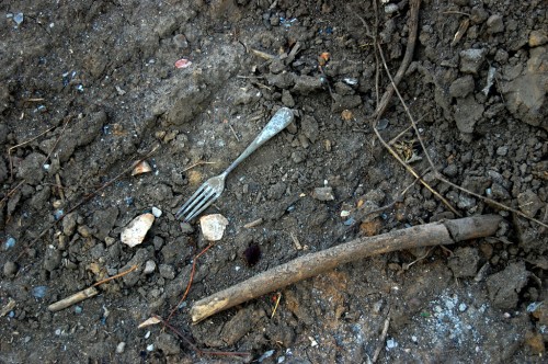
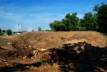
I’m guessing the road was closed because old remains had been found along one section of the levee. The Missourian reported that the Osage Nation American Indian tribe has been involved in the investigation, leading to the assumption that the bones and relics were part of a native tribal settlement. The Department of Natural Resources has put a blackout on news of the finds at the request of the Native American tribes involved in order to protect the site from looters.

Remaining water is bird paradise

We saw scores of wading birds taking advantage of the fish trapped in water left behind after the flood.

Fields are turning green

Despite dire predictions that the fields would be ruined for decades, we saw plenty of evidence that farmers were able to plant a lot of crops as soon as the fields dried out. In fairness, we only saw a tiny fraction of the land that had been flooded. I’m sure there ARE parts that have been turned into moonscape and are buried under huge deposits of sand. My point is that not ALL of the land has been ruined.

Scour area is impressive

CR 303, the levee road, ended abruptly at one of the places it was breached. The massive flow of water gouged deep holes in the ground. My van parked atop the levee will give you a sense of scale. I’m guessing the levee is about 15 feet above surrounding terrain. The bluff in the foreground are 15 or 20 feet below that, and I don’t know how deep the water is in the pit.

View behind me

As impressive as that is, if you turn 180 degrees and look the other direction, the fields are clear and have been planted. I don’t know how much work it took to get them into that condition, but looking at the gouged earth without looking at the planted fields will give you the wrong impression, and vice versa.

Equipment at the ready

I don’t know if this equipment belongs to farmers or if it’s there to repair the levee. I didn’t want to interfere with whatever work they were doing, so I didn’t go down to ask.

Gallery of Bird’s Point photos

Click on any photo to make it larger, then click on the left or right to move through the gallery.


Sikeston’s 1st Methodist Church Columns

I had about 20 minutes to kill before a meeting in Sikeston Monday, so Mother and I cruised through the downtown area. I saw the railroad tracks had been torn up (too bad they didn’t turn the right of way into a rails-to-trails) and the train depot turned into a nice museum. Just to the north of the main drag, I saw some stone columns sticking up.

“Those were a real big deal,” Mother said. Some big, old church burned down and they salvaged the columns as a memorial, she elaborated.

Church dedicated in 1912; burned in 1968

I couldn’t find much information on the columns beyond a plaque on the north side that said the First Methodist Church was dedicated in 1912 and was destroyed by fire in 1968. The columns were restored by the the Vandivort family in memory of Rosemary P. Vandivort.

Google came up short and The Sikeston Standard Democrat didn’t have much beyond a few Out of the Past columns that said the fire was in March of 1968. Somebody else is going to have to fill in the blanks.

Sikeston – Cape were debate rivals

I came into town last fall just in time to cover my first Central High School football game in 40-some years, the clash between unbeaten Cape and Sikeston. I sure hope I wasn’t the jinx that caused Central’s 21-0 loss.

In our day, Jackson was the school to beat, particularly in football. I don’t recall Sikeston being a big athletic rival, but I could be wrong.

In debate, though, Sikeston was a worthy opponent, maybe not feared, but respected. Most of the smaller schools around Cape didn’t have the depth of talent to draw from nor coaches like Ruby Davis and Calvin Chapman. Sikeston, on the other hand, had good debaters and good coaches.

One of the most popular Sikeston debaters was John “Doc” Carpenter, who was also active in Scouts and Order of the Arrow.  He was a bright guy who always seemed mature beyond his age. I published a photo of him working a wreck with Walter Joe Ford when I reviewed Jerry Ford’s book The Gordonville Grove: Tombstones, Tambourines, & Tammany Hall. (Now in its third printing and available at Amazon by clicking that link). “Doc” went on to become Cape County coroner. He died of colon cancer in 2000.

Even though the schools were fierce competitors in individual events, they would work together at things like the Jefferson City Student Congress, forming alliances to get bills passed and to get their students elected to prestigious positions. We Swampeast Missourians enjoyed beating out the bigger schools in the state.