Elephant Rocks State Park

Elephant Rocks State Park 09-16-2014
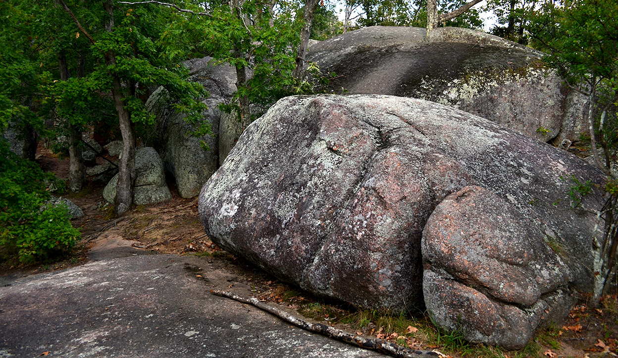
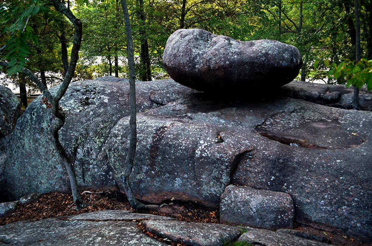
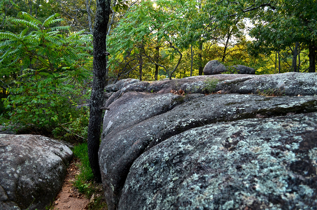
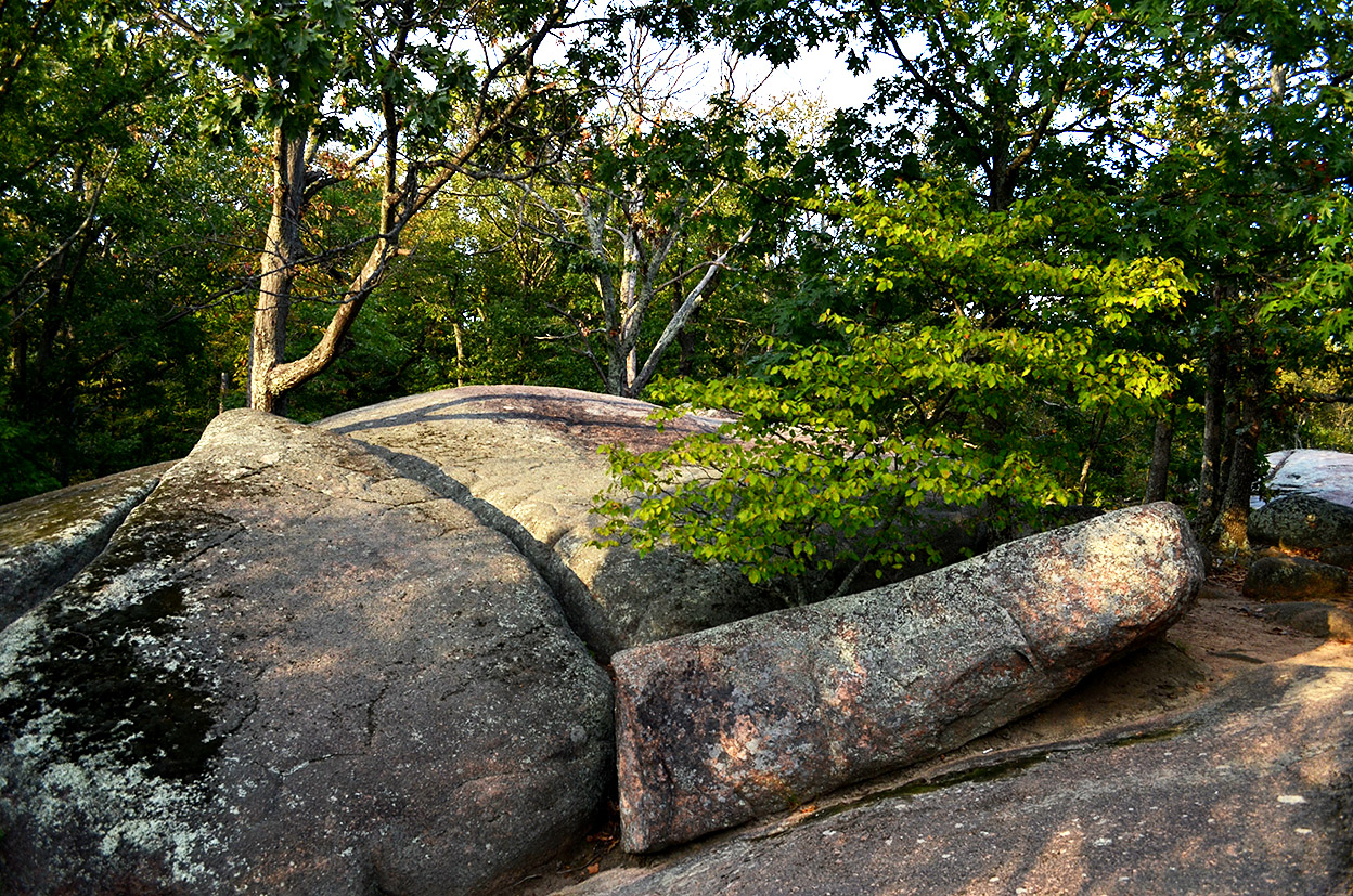
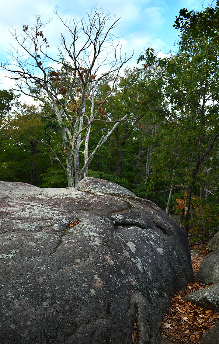
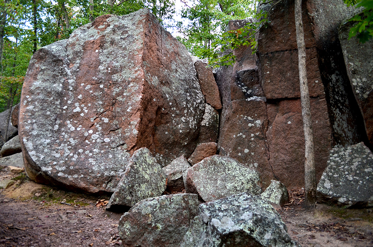
It was late in the afternoon when I finished shooting at Johnson’s Shut-ins. The gas tank Low Fuel alert had been on for some time, the light was fading and the mosquitoes were coming out, but I couldn’t pass up the turnoff to Elephant Rocks State Park.

I was getting no cellular data signal (or voice, either, for that matter), so I couldn’t do any Internet research to see if I was in the right spot or what I was supposed to see, so I did a quick scramble over some likely-looking rocks and made a dash before my mosquito blood supply Low Fuel light came on.

This is the kind of place where you could spend all day watching the light change the scenery around you. It would also be a good place to let kids blow off steam.

Here’s the Missouri State Parks website that tells you how to get there and some of the history of the area.

Elephant Rocks State Park Photo Gallery

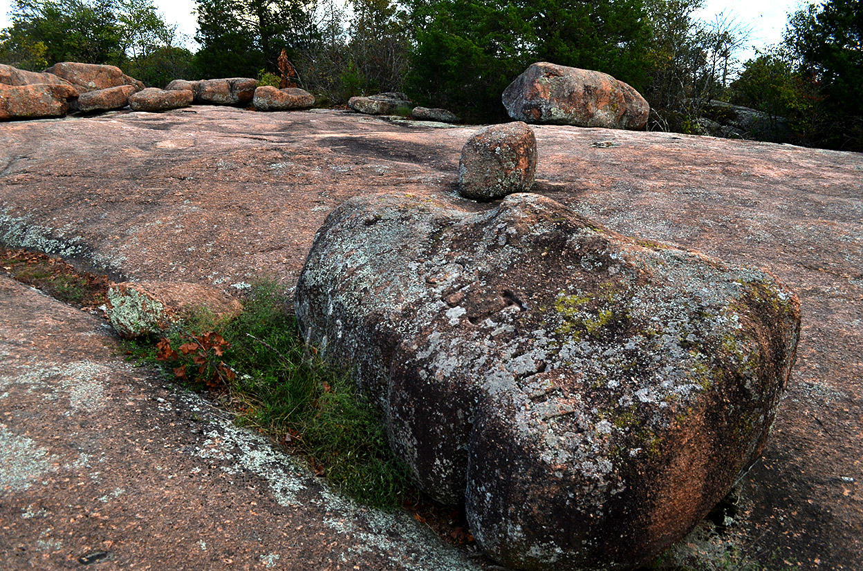
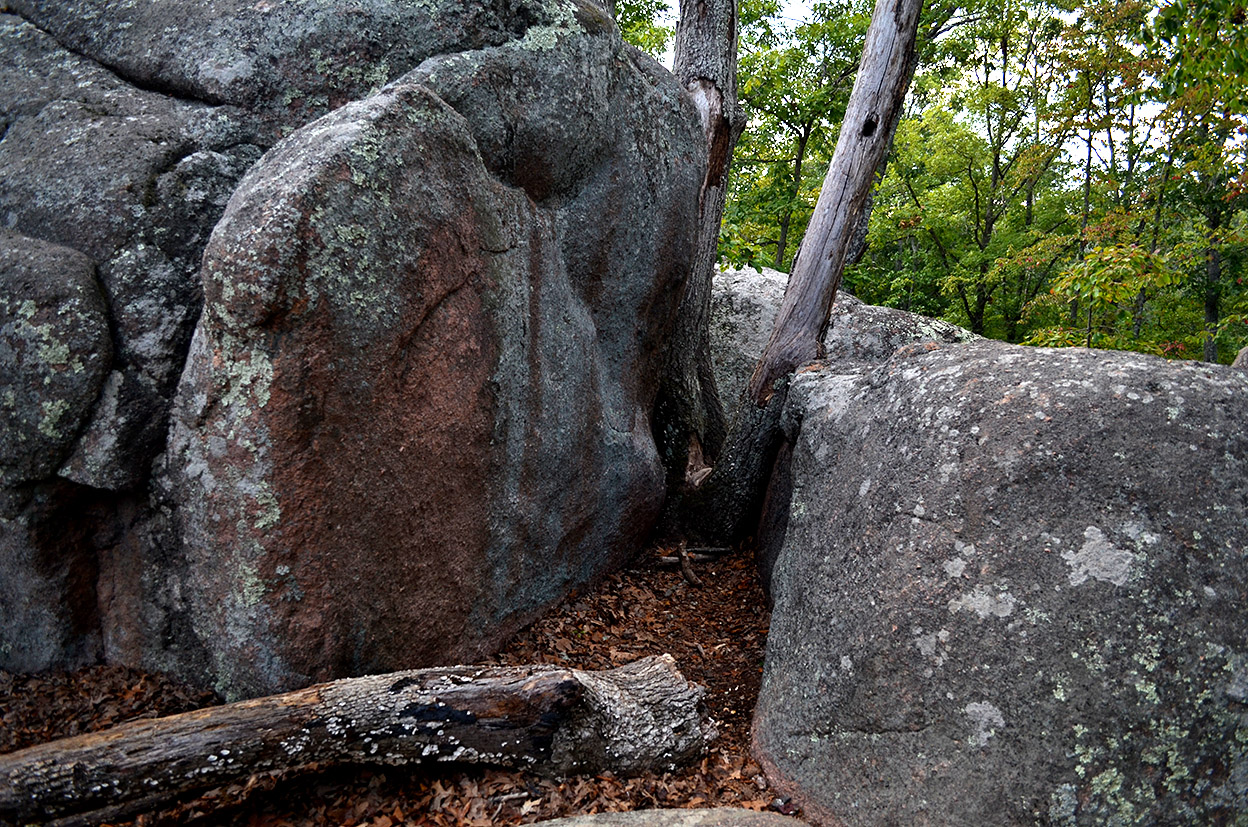
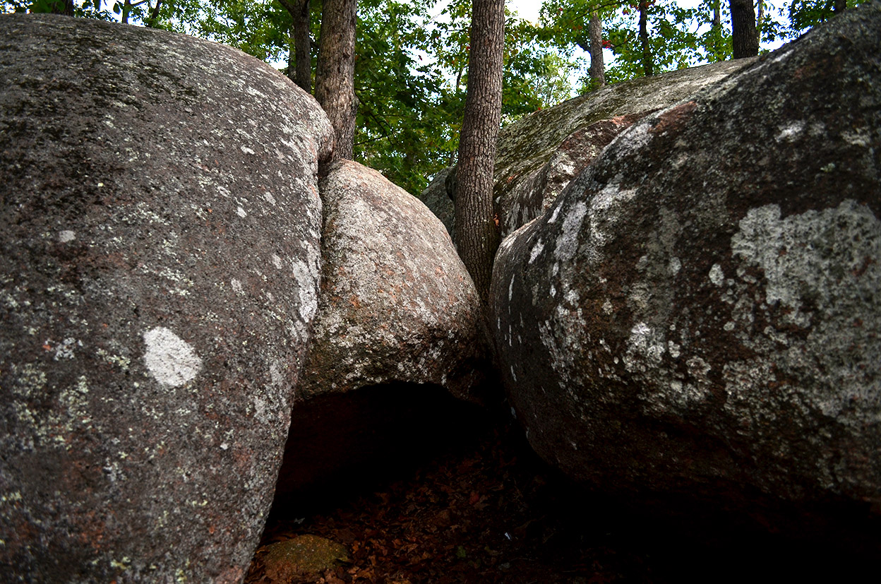
I don’t shoot a lot of rocks and roots pictures, but I may have to go back when the leaves turn. I’ll also haul out the tripod so I can stop down the lens to get more depth of field so that more things are sharp in the photos. Click on any image to make it larger, then use your arrow keys to move through the gallery.


Stoddard County Skies

Stoddard County scenics 09-23-2014We’re used to seeing big clouds of smoke out west in the farming areas of Florida when the sugar growers burn off their cane fields prior to harvesting. They burn off the “trash” – the leaves – leaving behind the stalks from which cane sugar is extracted. The fires blaze hot enough that the Civil Defense director (old term, I know) said they would sometimes get a call from NORAD because a burning cane field satellite signature looked like a missile launch. “Just what ARE you guys doing out there?”

Anyway, Tuesday must have been the day for SE Missouri farms to burn off their fields AFTER harvesting. I spotted as many as five different fires going at one time on our way to and around Advance. Unfortunately, there just wasn’t any shoulder to pull off on to capture the best fires.

Good news and bad news

Stoddard County scenics 09-23-2014A farmer near Greenbriar said this has been a good year for crops. The beans and corn are doing exceptionally well. That’s the good news.

The bad new is that EVERYBODY’S crops are doing well, and it’s driving down the prices.

This bean field was just south of Advance.

“Hope House” on Hwy 74

"Hope House" Hwy 74 09-23-2014When I was a kid on our way to Advance, we’d always keep an eye on a house being built on Hwy 74 just west of what is now I-55. (I-55 wasn’t even a gleam in Dwight Eisenhower’s eye back in those days.)

The builder got the basement finished, put tar on the “floor” of the house to make it a roof, and got no further. I’m pretty sure someone lived in it because I vaguely remember smoke coming out of the chimney.

I think there was a church that took that approach on Independence, William or Bloomfield Road. I know of a couple of houses in Cape that did that, too, but I can’t place where they were.

Called a “hope house”

"Hope House" Hwy 74 09-23-2014When I Googled “living in basement until house is built,” quite a few hits came up. The practice of doing this was common enough, I found, that it had a name: it was called a “hope house.”

Modern day building codes and permits would make this hard to do today, someone pointed out, because they call for firm start and end dates. A construction project that went on for five or 10 years might not get approved.

When I slowed down to make the turn down the lane to the house, Mother said, “I figured you were going to do that.”

The basement walls look like they are in pretty good shape, and I could see that interior walls of concrete block had been roughed in. Several windows at ground level would have let in light. Unfortunately, the old tarred floor had deteriorated to the point that it was letting in more light than the windows.

In the end, there was more hope than house left. I wonder what happened to the owner.

Cedar Lake 2014

Cedar Lake 09-156-2014This is the only view I could find of Cedar Lake on September 16, 2014.. There is no public access that I could see.

The lake is northwest of Millersville on the east side of 481 and north of 72.

 Looks similar to this

Boys fishing maybe on Cedar LakeWhen I posted this photo taken in the ’60s back in 2010, I had lots of good comments from folks who confirmed that it WAS Cedar Lake.

Looks like it’s about the same angle, except closer to the water than I could get today without trespassing.