I Missed my Warriorettes

Okeechobee sunset 10-13-2015I like driving across the country, but this was a duller than usual trip.

All my Road Warriorettes came up with excuses why they couldn’t go with me this time. (What are the odds that they ALL had to wash their hair during those dates? And, how many times do you have to wash your hair, anyway?)

I got a characteristically late start, so the sun was dipping below the horizon before I got out of Okeechobee county. You can click on the pictures to make them larger.

Florida Citrus Tower

Florida Citrus Tower 10/13/2015I only made it Clermont the first night. The first place I stopped for lodging wanted too much money. It only took a sweep of my headlights to scratch the next joint off my list. I pulled into a parking lot to do a Google search for what my other options were. It happened to be across the street from the Florida Citrus Tower.

This wasn’t the first time I had ogled the tower.

Mississippi River Bridge at Memphis

Mississippi River Bridge - Memphis 10-16-2015I usually take two different routes from Florida to Missouri:

  • Mostly Interstates through Orlando, Atlanta, Chattanooga, Nashville, Paducah and Cape
  • Cross-country on U.S. 27 through the center of Florida to Marianna, Fla., then Dothan, Montgomery, Birmingham, Nashville, Cadiz, Land Between the Lakes, Wickliffe, Cairo, Cape. Interestingly enough, both route are almost exactly the same distance – 1,110 miles.

This time, I decided to go the U.S. 27 route to Birmingham, then cut across to Memphis and up I-55. That added about half a day to the trip because I pulled into Tupelo at dark and decided to stop so I could drive the rest of the way in the daylight. I mean, why go a new way if you can’t see the countryside? This was slightly longer than my usual routes, but the roads were much improved over the last time I had gone that way.

“Just go”

When I got to the Jasper exit, I called Wife Lila to ask if she wanted me try to find the worst motel we had ever stopped at.

It was well past Cranky O’Clock, with few prospects anywhere near, so I acceded to the requests (demands?) to stop at the first available place, sight unseen. I registered and handed her the room key while I started to unload the car.

She opened the door, turned around and scurried back to the car. “Let’s go,” she said. “Don’t even stop to get our money back, just go.”

She said I didn’t need to search for the place.

Sunset on Moonville Road

Sunset from Moonville-Hope Rd 04-17-2015_8864Curator Jessica and I were headed back to Athens, Ohio, after trekking over a muddy trail to the allegedly haunted Moonville Railroad Tunnel in Vinton County. (More about that soon.)

The sun was thinking hard about going down when we passed over a low-water crossing and saw the sky splashing orange over Raccoon Creek. When I spotted the house glowing dimly in the distance, it was time to stop for a photo.

The first photos were just a little bit “cool,” or blue, so I changed the color balance adjustment on my Nikon D3100 from “Auto” to “Shade” and dialed in a bit of blue because the orange was TOO orange.

I won’t say this was entirely faithful to what Mother Nature provided, but it’s close enough that I don’t feel guilty.

Lights in the Night

Sugar Tree Ridge Cemetery 11-01-2014_4329Mother, Curator Jessica and I took off for Steele this morning – eight miles from the Arkansas border – to photograph a Bootheel farmer I met at the Altenburg museum last week.

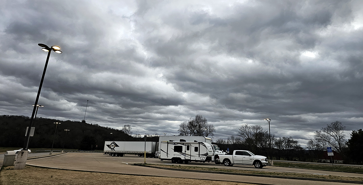
No journey ever takes us from Point A to Point B directly back to Point C, so we wandered around in New Madrid County for a bit, then meandered all over places that I’m not sure even the Lady in the Sky who lives in my GPS has ever heard of.

Let me explain the division of labor here: my job is to drive and keep us from getting killed by wayward 18-wheelers. The job of the Road Warriorette is that of Navigator, responsible for directing the Driver toward food and lodging (and, as we will find later, Natural Breaks).

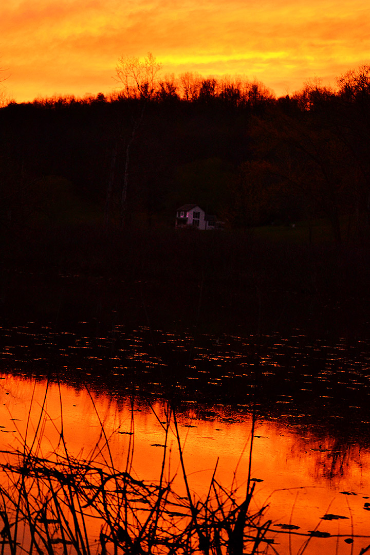
We left New Madrid with the sun high in the sky and decided to find some roads that skirted the Mississippi River, some of which must have followed the paths of drunken cows.  Shortly after I pointed out that we had already been through a particular intersection at least twice, we ended up going down a road aptly bearing a sign, Dead End, that led to a well-kept Sugar Tree Ridge Cemetery.

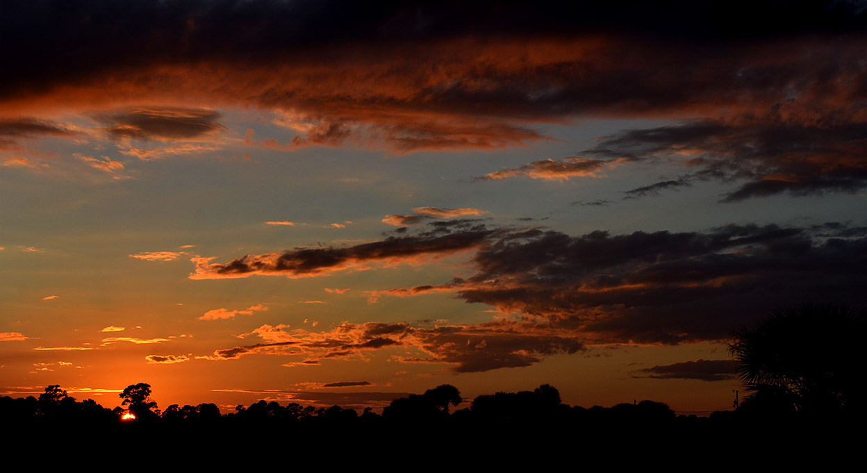
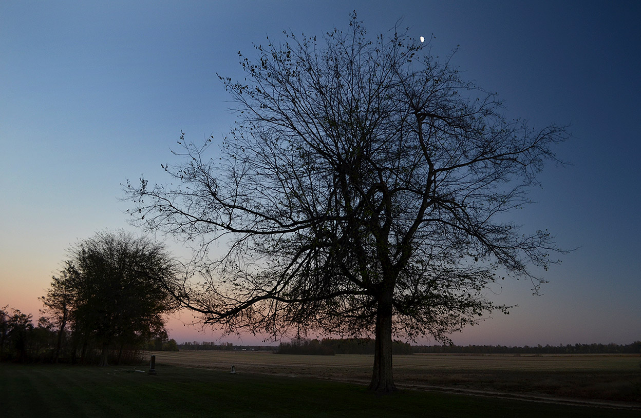
With the sun going down on one side and the moon coming up on the other, I suggested that Mother might want to start rationing the cookies we had brought along: “This might be a long night.”

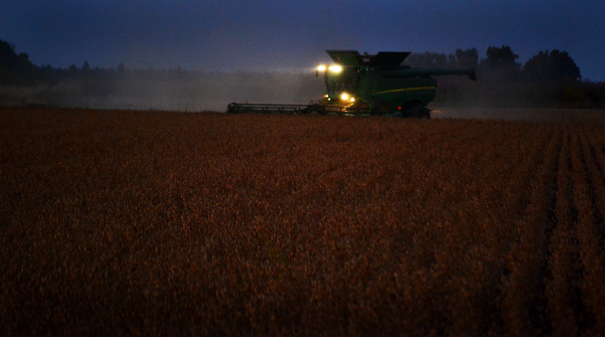
A farmers work is never done

Farmer in field 11-01-2014_8246
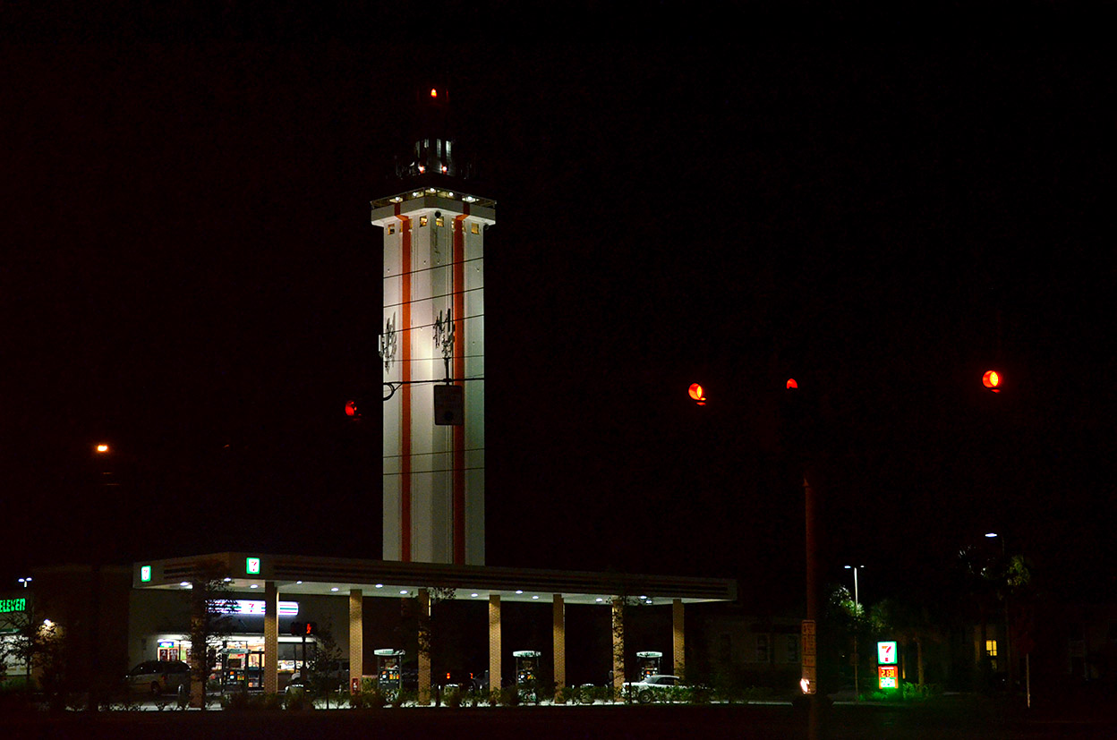
We weren’t the only ones picking our way though the dark: we spotted lights on farm equipment dotting the countryside.

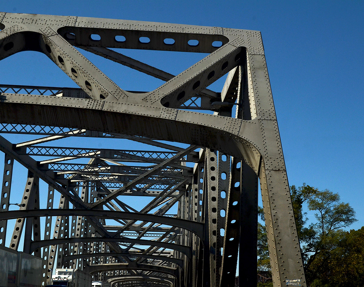
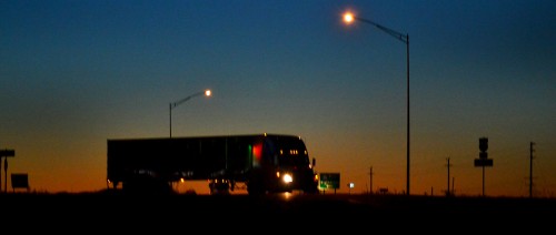
We hadn’t seen a car behind us for an hour, but the moment I stopped in the road to take this photo, I heard the whizzz of one passing us. I’m glad he had room to pass: most of the bridges out there were labeled “One-Lane Bridge.” They didn’t bother to note that the road wasn’t much wider than the bridge.

A natural break

Truck turning off I-55 11-01-2014_8261With 43 miles to go, my Navigator gently suggested that the trip would be much more pleasant for her if we would stop at the next convenient place for her to take, as they say in the Tour de France, a “natural break.”

While waiting for a chance to get back on I-55, we spotted this one-eyed truck coming toward us. Navigator Jessica asked if I had ever played “padiddle.”

Having led a sheltered life, I had to confess that I had heard the phrase, but didn’t know exactly how to play it or exactly what it was. My navigator demurred providing details.

Basic rules of Padiddle and Pedunk

Google being our friend, I was enlightened by the Urban Dictionary: A game in which you look for cars with headlight or foglight out (padiddle) [also spelled pididdle] or tail light (pedunk) and call it out. When someone correctly calls a padidle or pedunk, all members of the opposite sex present must remove an article of clothing.
Example: Padiddle! You have to take off your shirts. 

Our trip from Missouri to Ohio has just become a lot more interesting.

As always, click on the photos to make them larger. Alas, there are no padiddling photos available.


Runoff, Rainbows and Wet Roads

Cape LaCroix Creek 10-13-2014_3208The weather alert radio was busy this afternoon with severe storm warnings, tornado watches and warnings. We did a bunch of running around between showers and drizzles, but beat feet home before the bad stuff got here. The trees bent down for a bit and there were a few times when we couldn’t see across the street, but it moved on quickly.

The storm water system constructed in the mid-80s wasn’t nearly so full as it was when a frog-strangler hit in 2011, but you can see it’s still moving quite a bit of water. The lighter-colored water passing under South Kingshighway is Cape LaCroix Creek; the darker water being held back on the right is what drains down from neighborhoods to the north.

I wonder if the people in that brick office building know that when I was growing up on Bloomfield Road in the ’50s that it was a packing house of some kind. There was a little dam across the creek there and the building discharged something that, when the wind was right/wrong, stunk to high heaven.

Double, maybe triple rainbows

Double rainbow 10-13-2014_3257We drove around town for bit, paused at the riverfront, then headed west on Broadway. In the rearview mirror, I could see a rainbow, but wasn’t sufficiently impressed to stop. I pulled into a parking lot to check out the Mexican restaurant across from Houck Stadium. When I looked up this time, the rainbow was much brighter, so I went to the car for my camera. Much to my surprise, when I got out to the street, it had turned into a double rainbow. The second one isn’t quite as bright, but, trust me, it’s there. For a second, I thought I saw a third rainbow, but I could have been mistaken.

Coming into Jackson

Jackson 10-13-2014We were on our way to Jackson shortly after the rainbows when a thin stretch of the horizon under the dark storm clouds flamed bright orange. I rushed out to North County Park to try to get a high, clear vantage point, but the light was gone by the time I got into position.

The best I could come up with of the end of the storm was a night shot coming down the hill into Jackson.

Click on the photos to make them larger. There has been a software change that I have to tweak. You can still use the arrow keys to move through the photos and press the X or ESC key to exit them. I’ll see if I can get it to look more like what you were used to seeing.