
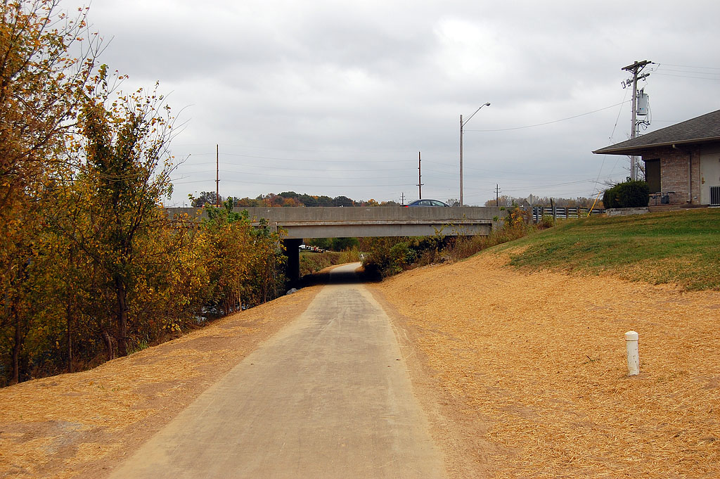
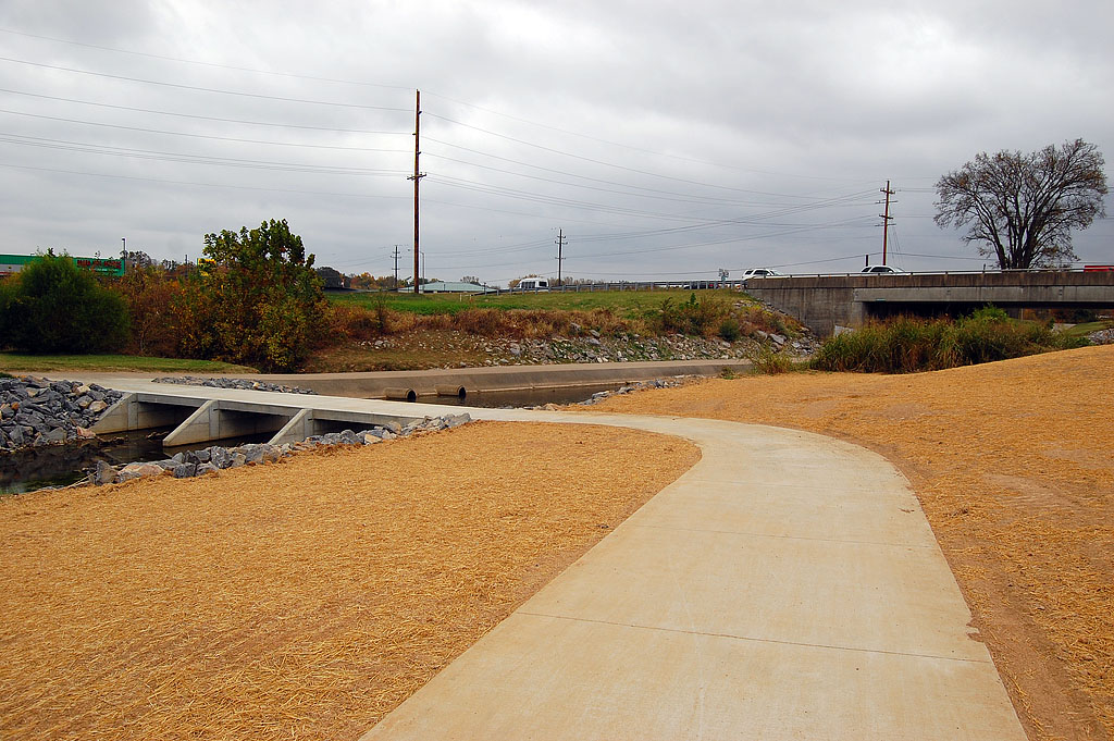
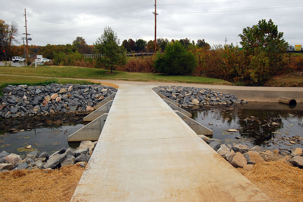
 When I rode the Cape LaCroix Recreational Trail last week, I noticed a new low-water crossing at the Lexington / Kingsway trailhead. It looked like there was a trail headed north along the other side of Cape LaCroix Creek.
Today I decided to see how far it went. Along the way, I found mostly good things and a few disappointing things.
Good things about the new trail

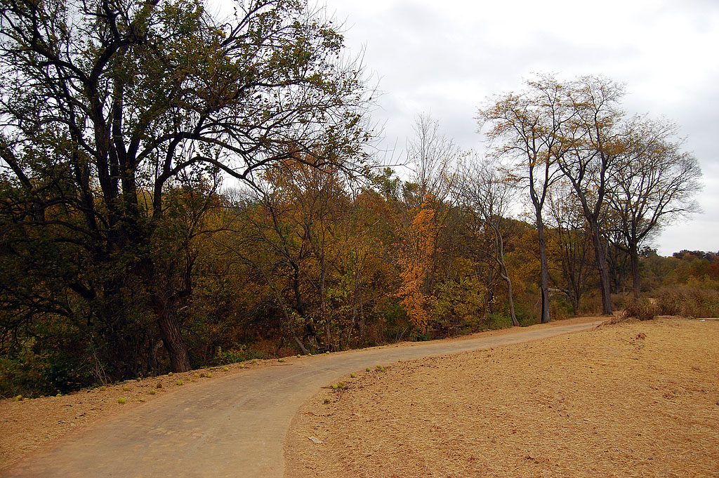
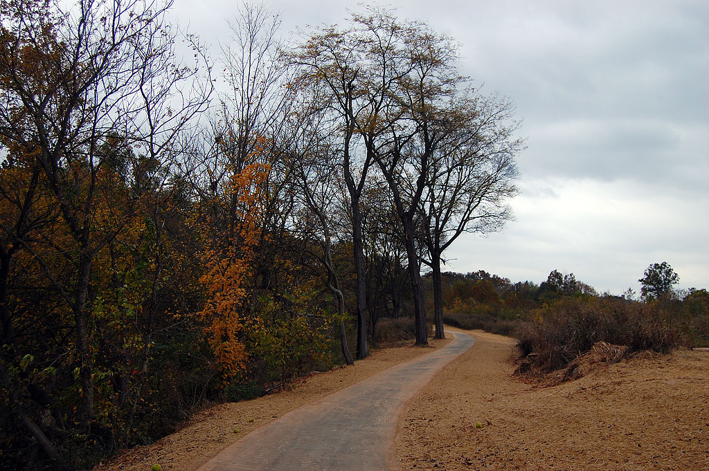
- It’s a beautiful ride, particularly this time of year.
- It gives you views of Cape LaCroix (3-Mile) Creek that I haven’t seen since I was 10 years old and drowning worms trying to catch something big enough to take home.
- It takes you all the way to the Cape Girardeau Conservation Nature Center Trail where there is a bike rack and a park bench.
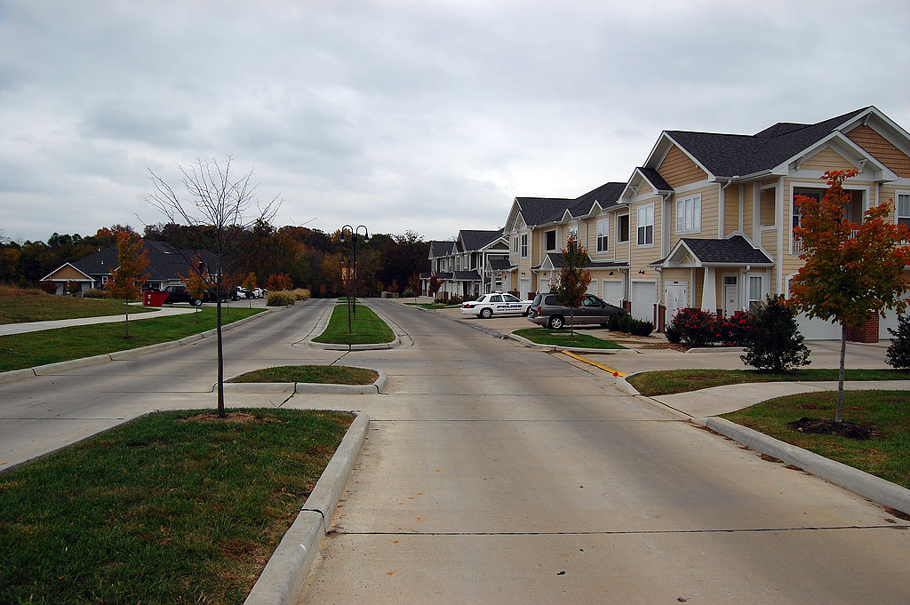
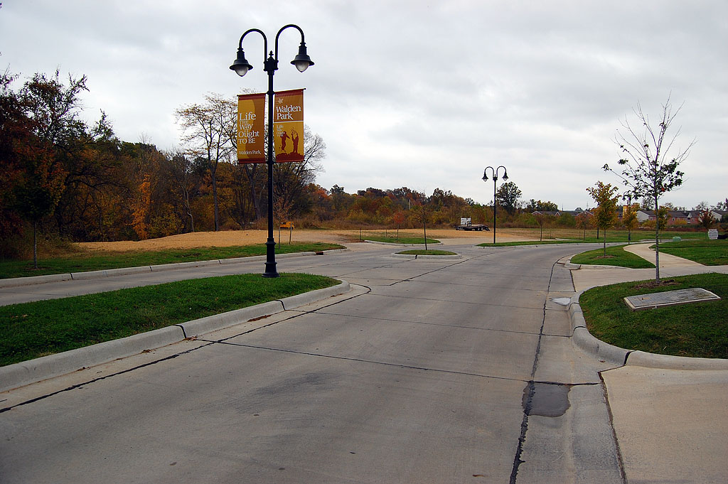
- It’s going to give great access to folks living in the Walden Park development and the trailer park south of it.
Bad things about the bike trail addition

- The first thing you see at the Nature Trail is a sign that says dogs and bikes aren’t allowed. There’s a third international symbol that says if you see a bear or a rattlesnake, you are apparently not allowed to run from it. That, or you’re not allowed to do crazy dances on the trail. It’s not exactly clear. I hope the bike policy will be changed. Being able to go from South Cape all the way to the Conservation Park would be great.
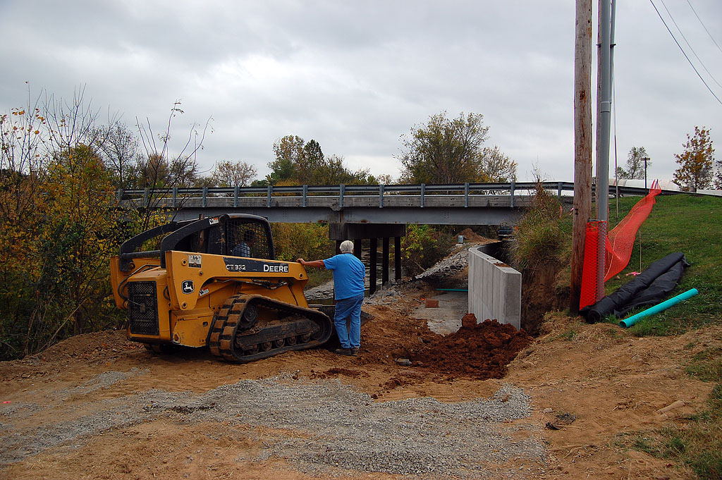
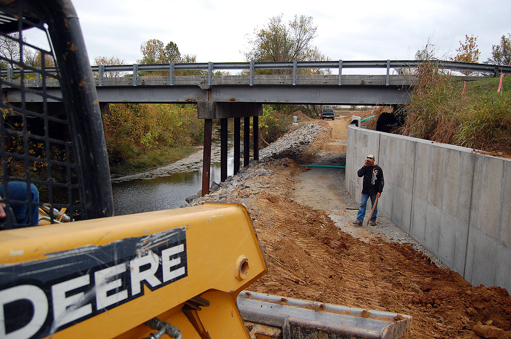
 It’s not finished. I talked with a worker who said the trail will be open in about two weeks, Lord willin’ and the creeks don’t rise (literally). There is one small portion that needs to be paved. ATT had to relocate some fiber optic cable, so that threw the project behind.
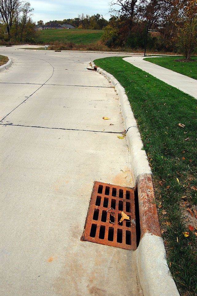
- There are what look like to me to be some bicycle-unfriendly storm sewer grates in the Walden Park subdivision. The gaps in the grates are definitely wide enough to swallow most bike tires. The slits MAY be short enough that a tire wouldn’t sink into it, but I wasn’t about to give it a try.
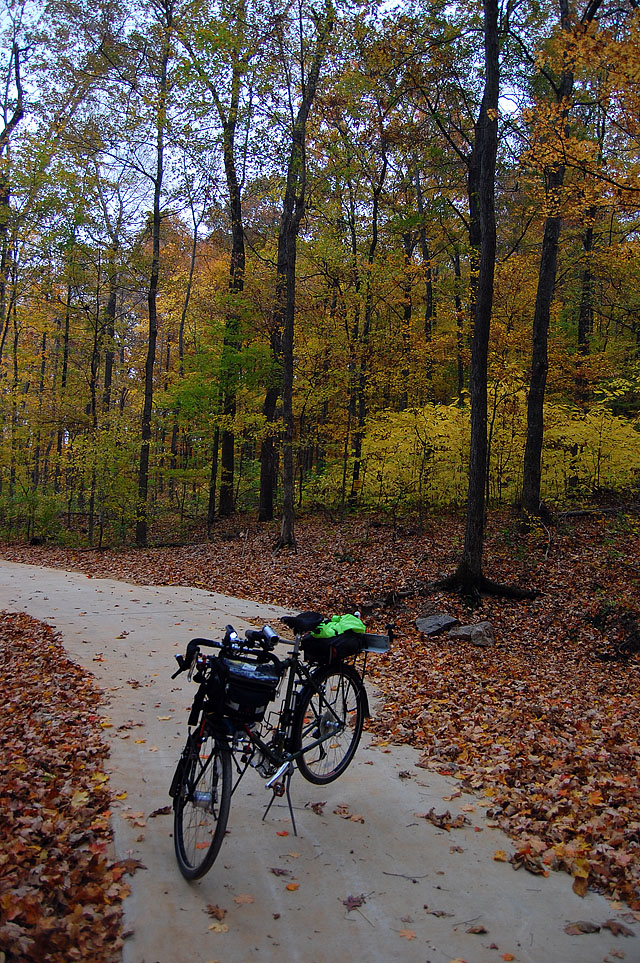
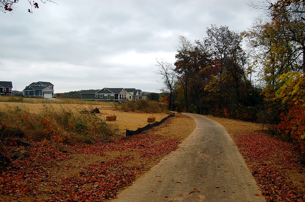
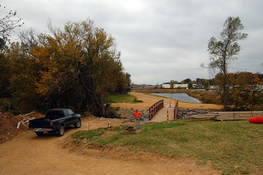
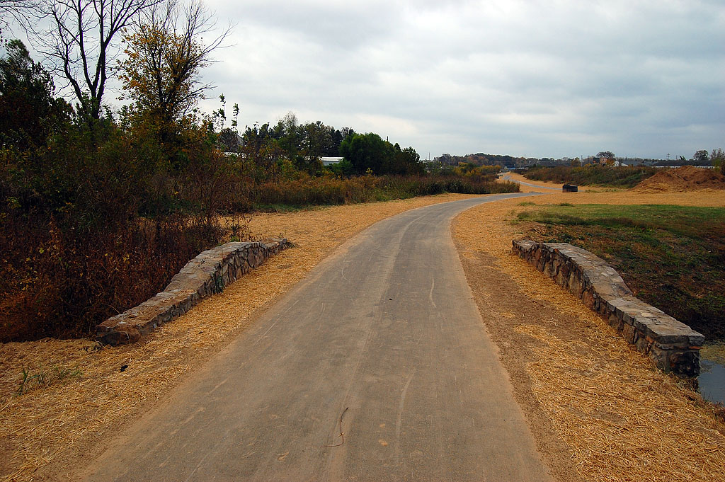
Gallery of Photos Along the Trail
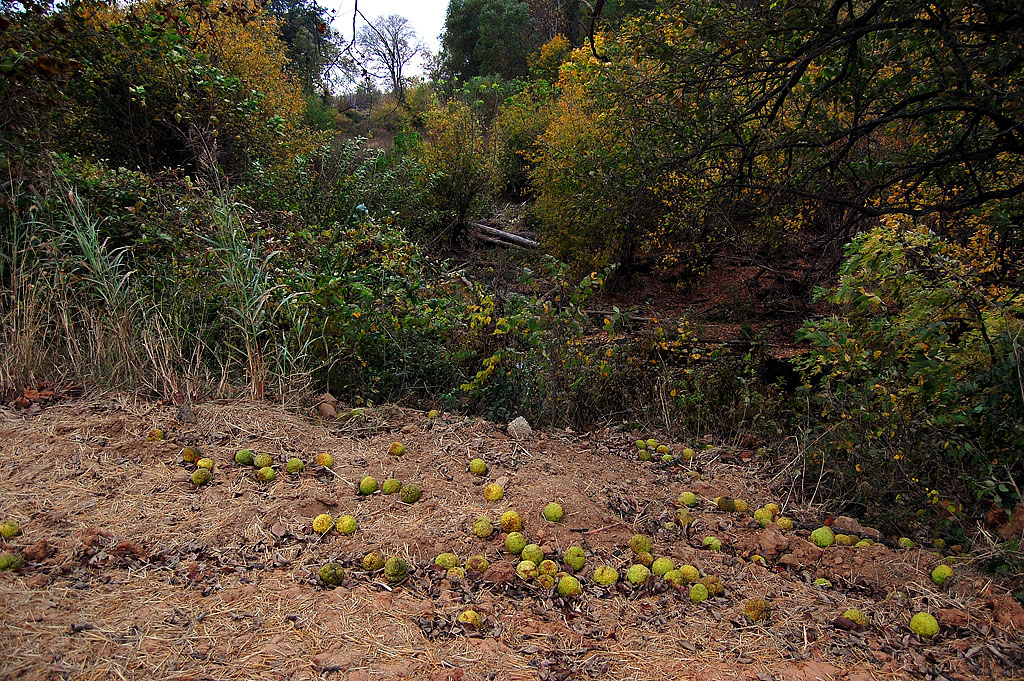
Except for the first two photos in the gallery, all of the photos were taken in sequence starting at the north end of the trail and heading south toward the Lexington / Kingsway trailhead. Click on any image to make it larger, then click on the left or right side of the photo to move through the gallery.
CLARIFICATION:
Wife Lila, who didn’t have a chance to read this until hours after it was published, said that I should make it clear that the extension of the RECREATIONAL trail is open to everyone just like the old part. It’s the NATURE trail that bans dogs, bikes and – she cleared this up for me – rollerbladers.
There’s some logic to that. You wouldn’t want dogs chasing the wildlife on a nature trail. It’s made of shellrock, so rollerbladers couldn’t traverse it anyway. I could see where bikes could cause ruts that would wash. [Note: I suspect that the trail isn’t shellrock. That’s what we use in Florida – ground up ancient seashells; I imagine you folks use crushed limestone.]
No Dogs! No Bikes! No Running! Why not just post, “Keep Off Trail!”
Andy,
I just posted a clarification to the story. It’s the NATURE trail that has those restrictions. The RECREATIONAL trail will be open to all the folks it’s been open to in the past.
Well, all right. I’m glad you cleared that up. Sorta reminds me of a trail in Paines Prairie near Gainesville, FL that has a sign that bans dogs . . . because of the alligators. Yeah, that makes sense too.
A neighborhood kid and I canoed down 3 mile one season during a storm (1973/74?). Went from Kingsway/61 all the way down to Bloomfield Road. Had just enough rain to not have to drag the canoe all the way.
I had a lot of fun, but my parents were none too happy.
Thanks for all the hard work!!! Job well done!
Ken,
Did you hear when Waldenpark would have access to the trail? I have grandkids that live out there and that would be great!
The guys working on the last section said it would be open in about two weeks. You can ride it now, but you have to detour around the bridge that leads into the development.
It’s going to be a great addition for the folks who live in the Walden Park area. You’ll be able to hop on there and make it all the way to South Cape.
Lovely pictures. I plan to retire the end of the year, and hope to spend some time at Cape. This would be a delightful addition to my agenda. Thanks for research.
Ken, altho’ I delivered for Knaup’s Floral during college and thought I knew Cape well,
I don’t know the Trail. I think a buddy and I “noodled” 3-mile creek, tho’ we didn’t call it that then.
Exactly how does one access it, please?
BTW, I was surprised that you caught some flak over your connecting Limbaugh and the Florida Quran-burner. But I guess I shouldn’t have been, given the “ready, shoot, aim” mentality of so many these days. I thought you just found it interesting that there is a Cape Central connection; that’s all.
I enjoy your stuff.
Don’t miss my friend John Burciaga’s stuff at ichabodskin.
Thanks. Woody
I thought I had left a reply this morning, but I must have done something before I hit send.
The trail is only about 10 or 15 years old. It was bundled into a flood control project. The addition is part of the Stimulus package, I think.
If you follow this link (click on this sentence), you’ll go to a story I did about the trail. Go to the photo of the map and it’ll enlarge enough for you to see the cross streets.
KEN: NO STIMULUS MONEY,GRANT FROM MODOT TWO YEARS AGO.
Robert,
Thanks for clearing that up. I was just going by what a guy with a shovel said.
Sure wish MODOT would have spent some money on the shoulders of Route W when they were working on it. The slight widening is just going to make traffic go faster. What little shoulder there is is eaten up with rumble strips.
Any updates on the completion of the north end of the trail?