
 The last thing I did before blasting off to the Tulsa wedding on Friday, June 19, was to go to Dutchtown to get ready for what I thought was going to be a major flood that would cause some lumber we had to float off.
By the time I got back in town, the water had gone down to where it appeared to more of an inconvenience than a disaster. (Click on the photos to make them larger.)
Clearing the way
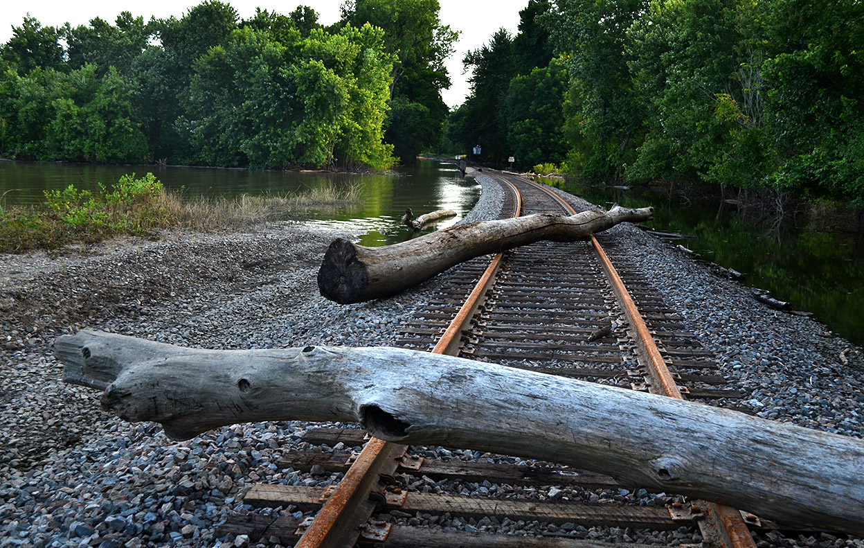
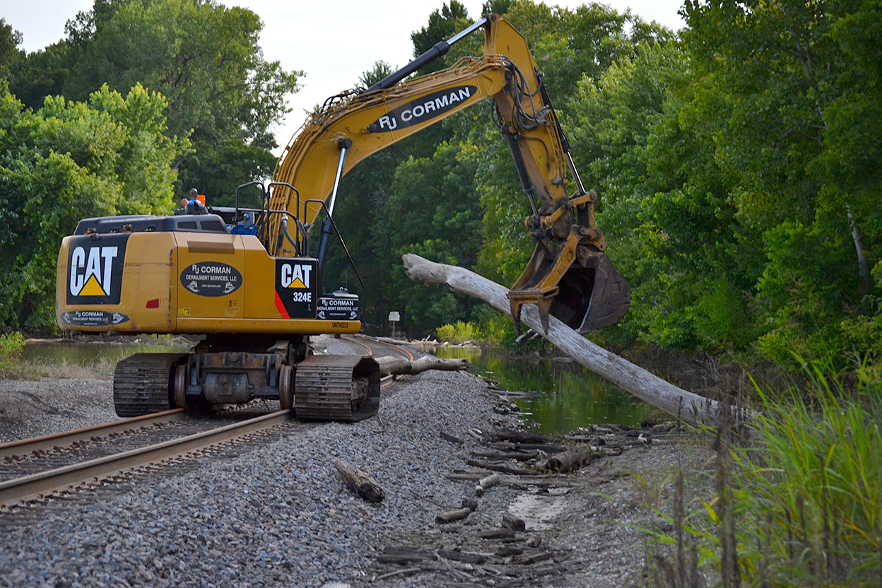 I spotted these snags across the tracks near CR 654 north of Cape. The rusty rails indicated that no train had come that way in quite a while.
While I was shooting the first photo, I heard a noise behind me and gave way to a railroad crew coming through to clear the line. One of the workers said the main line was open all the way to Wittenberg, but nothing could move south until Cape opened the floodgate north of Sloan’s Creek.
Tanks
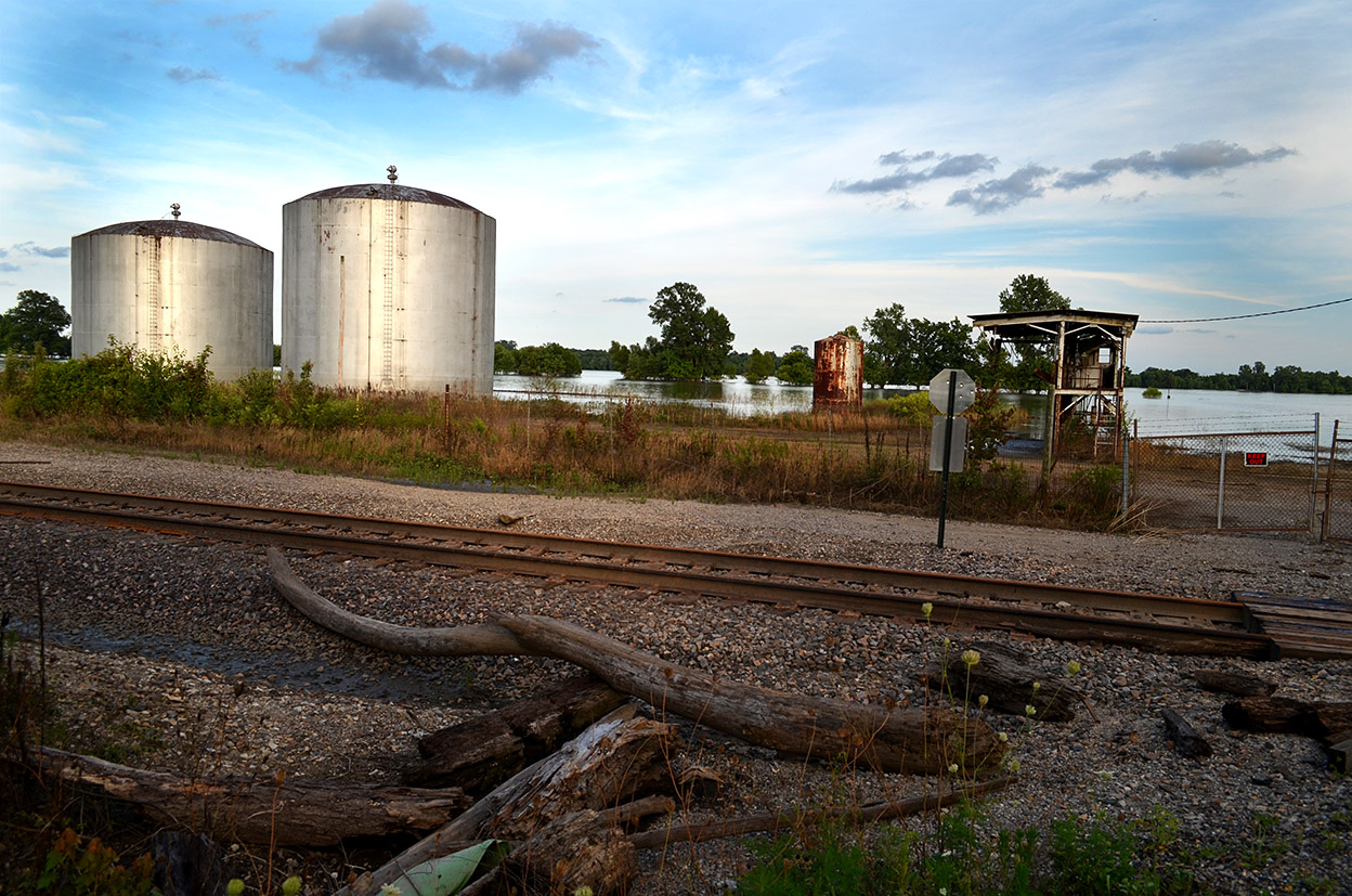 Google Earth shows these tanks are usually set way back from the river, but they must have been surrounded by water when the flood was high enough to top the railroad tracks.
Airboater frolicking
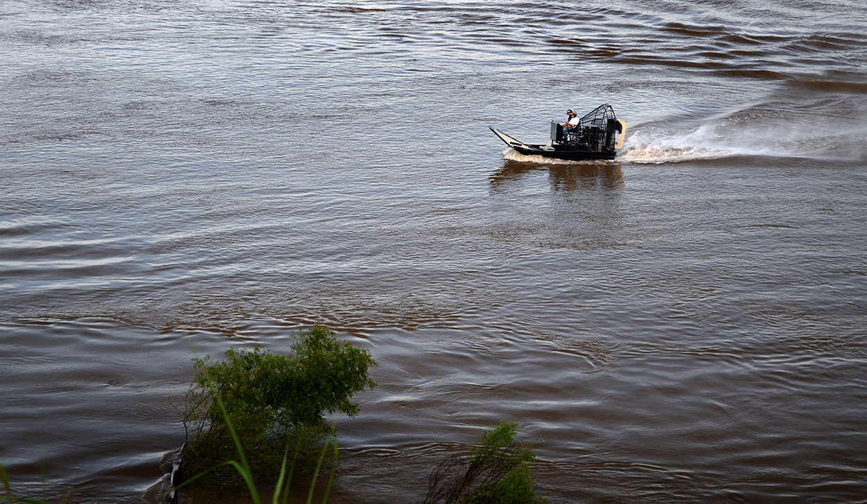 This guy was running up and down the river below Cape Rock.
Twin Tree Park cut off
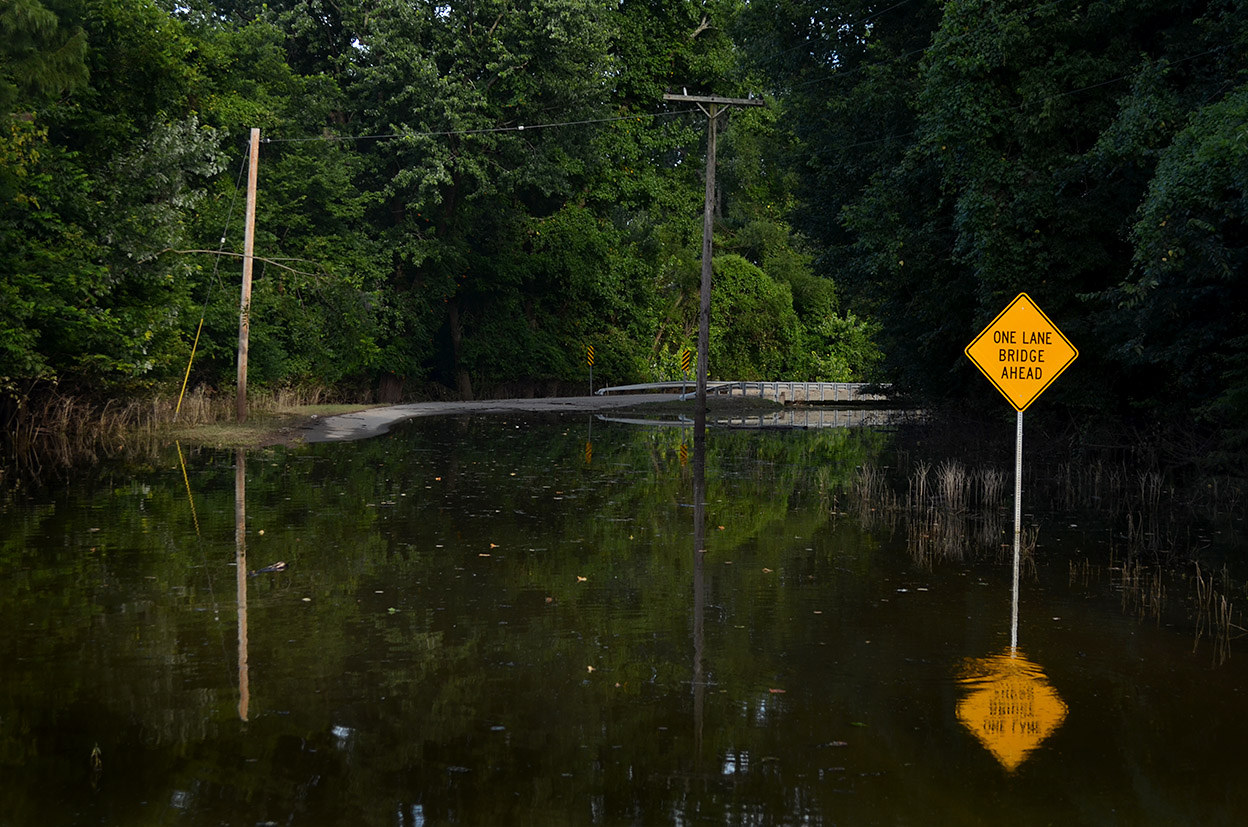 Water was over the road just south of Cape Rock and at Juden Creek, cutting off access to Twin Tree Park.
Good fishing
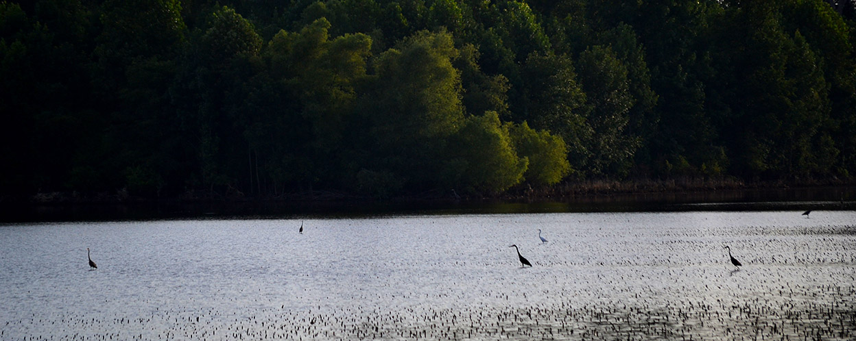 Flocks of wading birds enjoyed fishing in the flooded fields around Dutchtown.
Heeeeeeeeeeeeeeees baaaaaaaaaaaaaaaaack. Sorry about your Mother. Although we don’t agree on everything,
I enjoy opening the blog to see what’s happening in Cape. I’ve been all over the world and the best two years of my life were spent the Cape.
My family and I moved from Cape in 1965 but I well remember the flooding of “Smelterville” as called then. I think no one in that low area now? I also remember that a wall was built the length of downtown to protect the merchants, but not the Smelterville area?
Mary, I took a cruise down to what used to be Smelterville this afternoon. The only living thing visible was a big snapping turtle in the middle of the road near the railroad tracks.