It was a balmy day on March 15, 2015. It was warm enough that my shirt was damp from exertion. Then, unexpectedly, my blood ran cold. I was frozen in place, transported through time and space to 50 years earlier. I was on the verge of a panic attack, something that has never happened when covering the most horrific scenes as a news photographer.
Let’s back up a bit.
Wife Lila is a quilter, so we made a side trip to Gee’s Bend Quilters Collective in 2008. I felt a sense of deja vu when we crossed the Edmund Pettus Bridge leading over the Alabama River into Selma. I retraced that route with Road Warriorette Shari as a traveling companion in 2015.
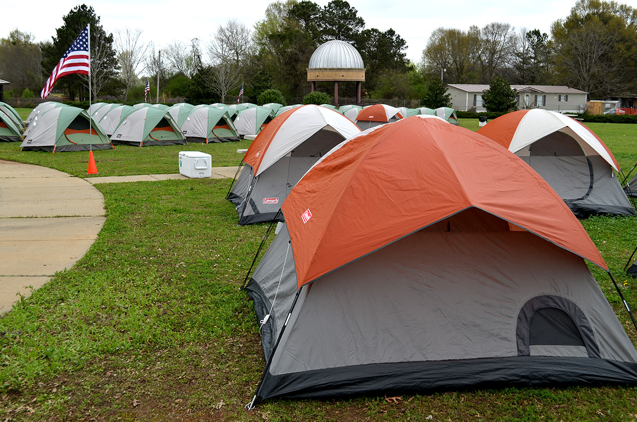
About midway between Montgomery and Selma, we spotted a building with a bunch of tents pitched around it. It was the Lowndes Interpretive Center, which was hosting marchers re-enacting the Selma to Montgomery trek half a century earlier. (Click on any photo to make it larger.)
Bloody Sunday
 Until 1965, only 2% of the black voters in Selma’s Dallas county were able to vote. In Lowndes county, the percentage was zero.
On March 7, shortly after a civil rights protestor had died after being shot, 600 non-violent protestors planned to march 54 miles from Brown A.M.E. Chapel in Selma to Montgomery to honor the martyr and to draw attention to voters’ rights.
Attacked by “lawmen”
 Shortly after they crossed the Edmund Pettus Bridge, they were stopped by a line of state troopers, local lawmen and local volunteers. After being given less than two minutes to return to the church, the marchers were attacked with nightsticks and teargas. At least 50 protestors required hospital treatment.
John Lewis: “I thought I saw Death”
 One of the protesters beaten on Bloody Sunday was Rep. John Lewis of Georgia, then a 25-year-old organizer with the Student Nonviolent Coordinating Committee. “I was hit in the head by a state trooper with a nightstick. I had a concussion at the bridge,” Lewis said. “My legs went out from under me. I felt like I was going to die. I thought I saw Death.”
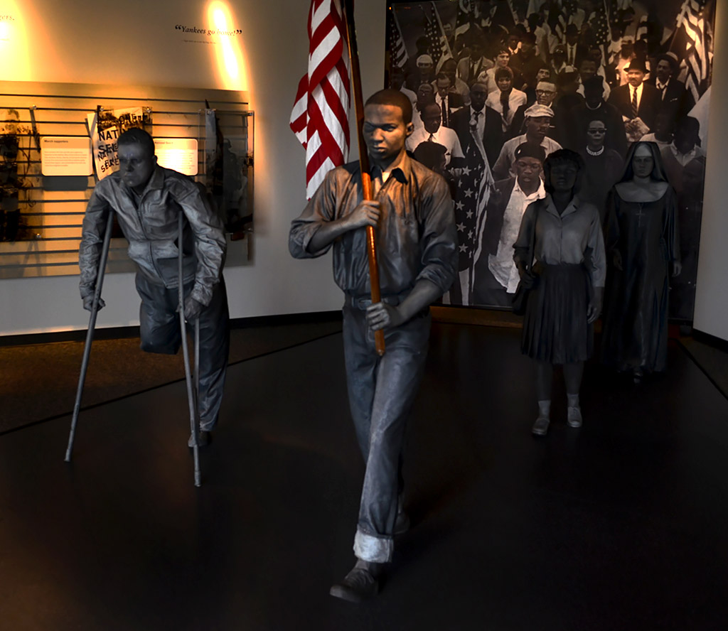
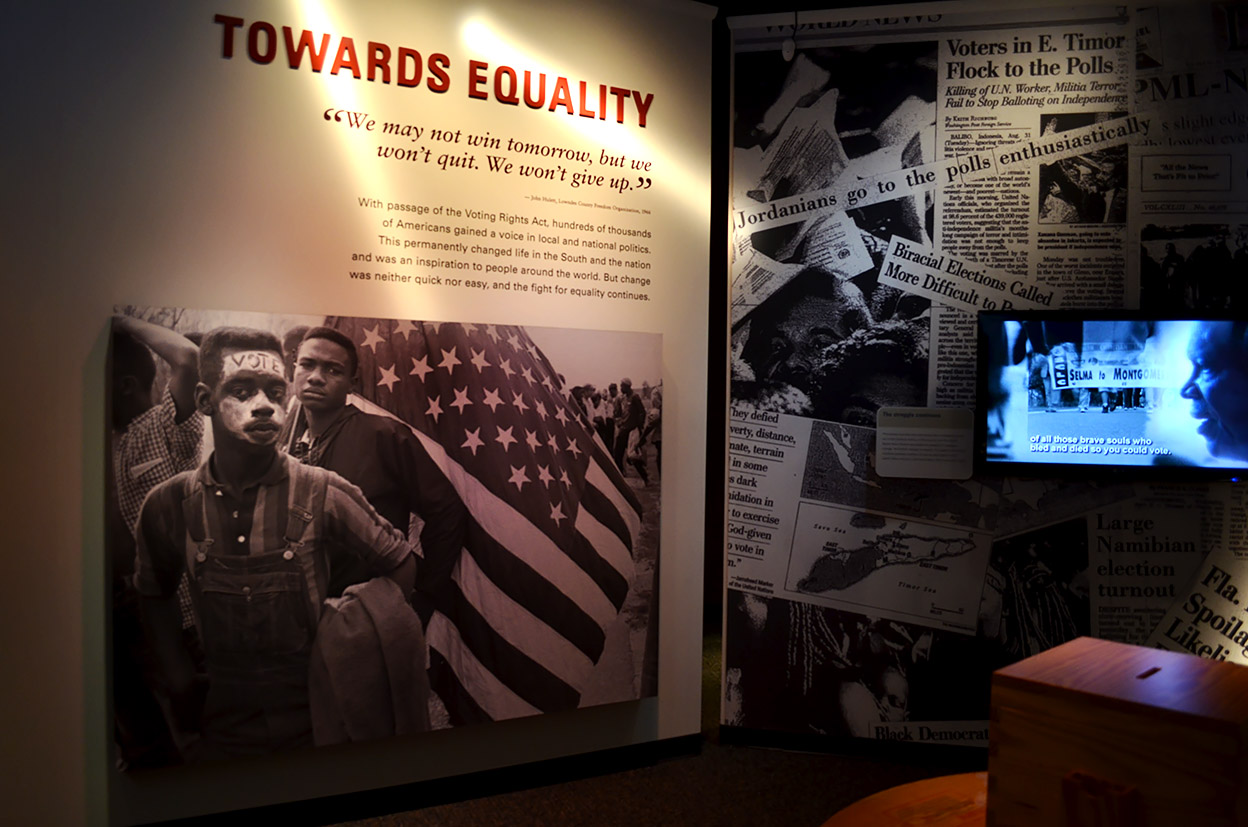
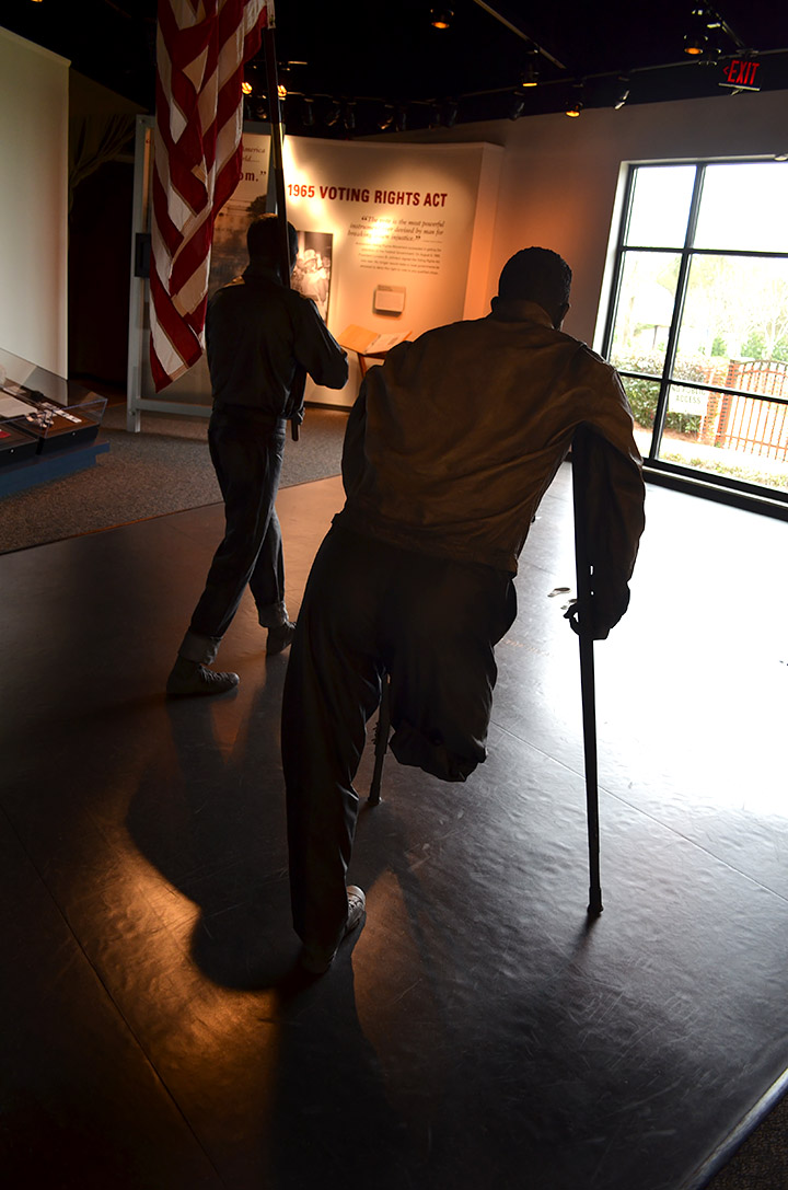
The interpretive center had a profoundly moving video that gave the background of racial discrimination in the area and accounts of the three marches – or attempted marches – from Selma.
I was moved to tears by a woman who must have been very young on Bloody Sunday. She was speaking to a number of students and decrying the poor voting turnout in the country. She handed each student a pebble while saying, “I walked on these very rocks on that day. Now, I’m handing them on for you to carry.”
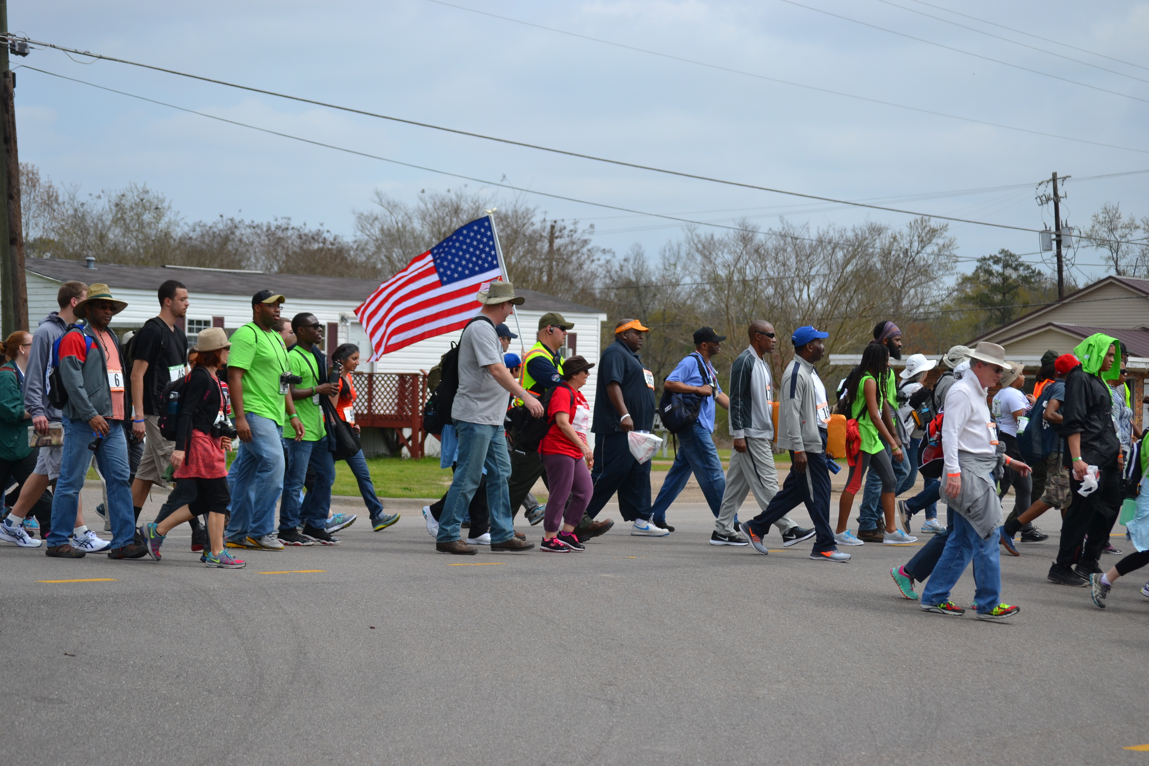
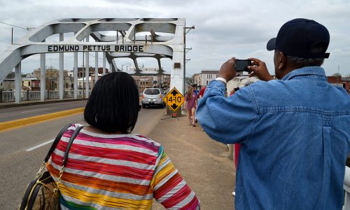
We found the march
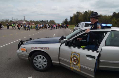 Not far from the center, we ran into the marchers stopped at a convenience store. I managed to get in behind them and drove up the shoulder of the road until I ran into this trooper. He gave me a questioning look, but became friendly when I stepped out with my camera gear. “I thought you might have had some kind of emergency and needed to get by,” he said.
When I looked back at him protecting the marchers, I wondered if his father or grandfather had been in the group at the bottom of the bridge on Bloody Sunday.
A mixed group
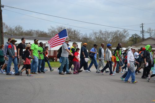 The group was made up of a mixture of ages and races, ranging from a babe in arms to folks who were probably in their 70s. Sometimes singing would break out, other times the walkers were just plugging away.
“What mean these stones?
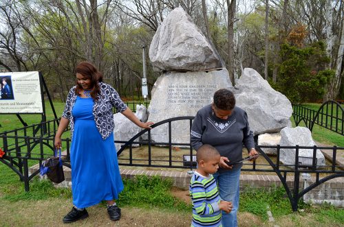 After we left the group (see more photos in the gallery), we stopped at the Bloody Sunday monument at the foot of the bridge going into Selma. I was surprised at the number of people who were there.
Inscribed on the rock are words from Joshua 4:21-22. “When your children shall ask you in time to come saying, ‘What mean these stones?’ then you shall tell them how you made it over.”
The words of the woman with the pebbles came flooding back to me.
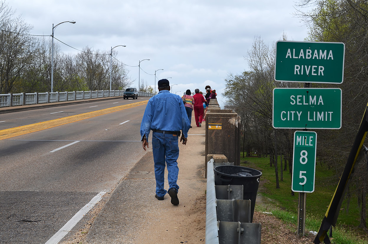
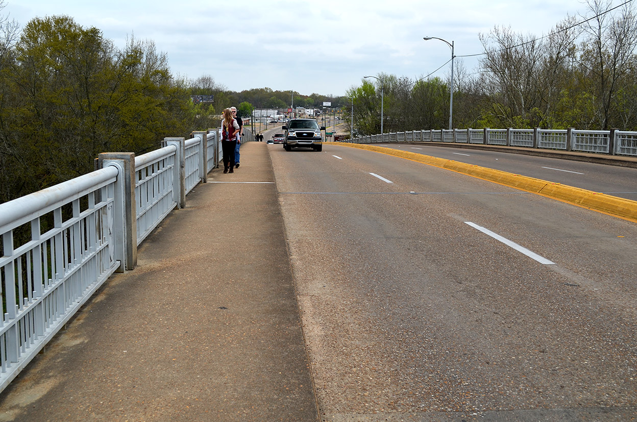
A fairly steep climb
 The bridge has a pretty steep grade to it. You can’t actually see it from the bottom on either side.
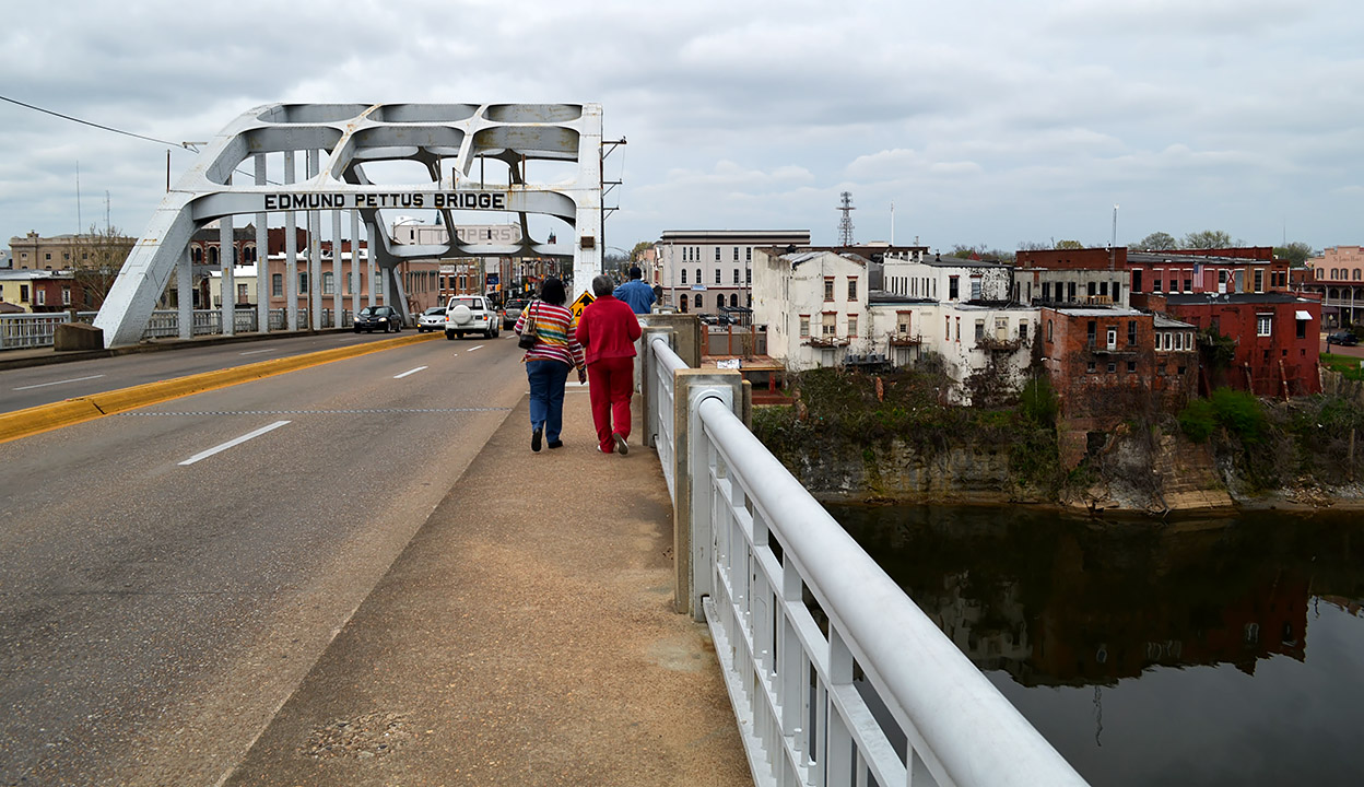
Picturesque, but run-down
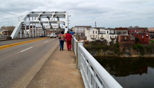 When you approach the top, you get a pretty view of a picturesque, but somewhat battered town.
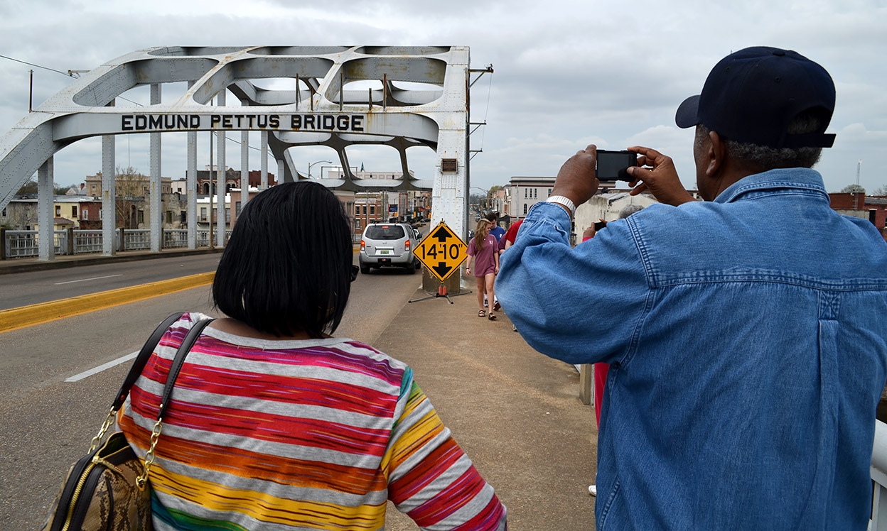
Business as usual
 As I got to the top of the span, I was the normal detached photographer, thinking only of composition and exposure.
Then, something happened
 I walked about halfway down the bridge, then turned back to head to the car. I hadn’t gone far, when suddenly I felt myself transported back half a century. I could hear the crowd behind me singing, talking, laughing. Spirits were high. They were marching for their freedom.
That’s when I took this frame and realized that here is where you would first see the line of lawmen waiting. I’ve covered my share of riots and protests, but there was generally some kind of restraint on both sides. Those men waiting down below weren’t there to enforce the law: they were there to mete out punishment.
I could feel the pressure of the crowds behind me. They hadn’t yet seen what I was seeing, and they were pushing me from behind. I couldn’t retreat, and I certainly didn’t want to go forward. I don’t know how long I was paralyzed there. If the spirits of the place could invoke that much terror, I can only imagine what it must have been like to live it.
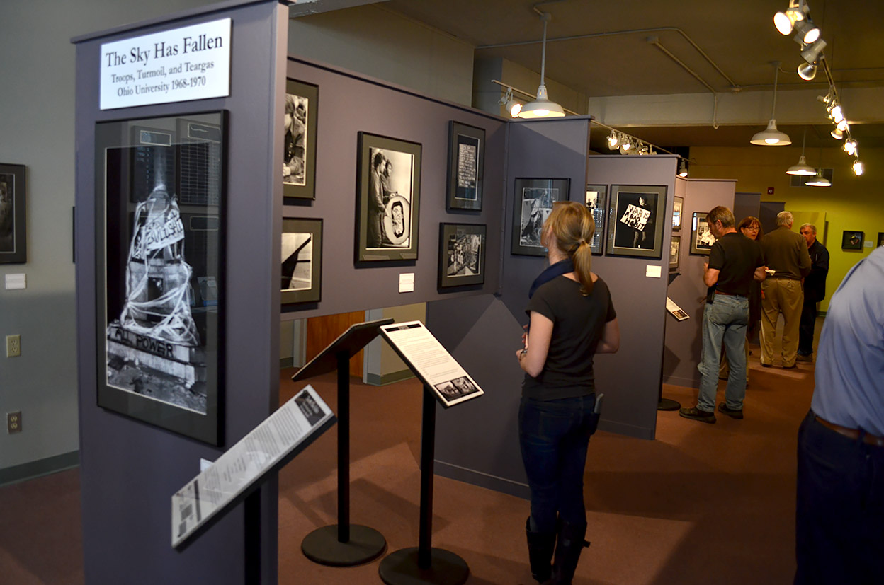
We’re going to have to change the title
 As soon as I regained my composure, I called Curator Jessica in Athens. In a choked voice, I told her we were going to have to change the title of an exhibit we were doing on the protest era at Ohio University. The working title was “The Sky Has Fallen.”
“A university closing is nowhere near what the freedom marchers in Alabama faced. We need to avoid hyperbole,” I argued.
Ms. Jessica explained the origin of the term: after a night of rioting two weeks after Kent State, the decision was made to close the university. The student newspaper, The OU Post, was on a hard deadline to get the story in print. Just before it hit the presses, someone said, “We don’t have a weather report for tomorrow.”
Editor Andy Alexander, a darned good journalist then and now, said, “Just write, ‘The sky has fallen.'”
I accepted that.
Gallery from Selma
Click on any photo to make it larger, then use your arrow keys to move through the gallery.