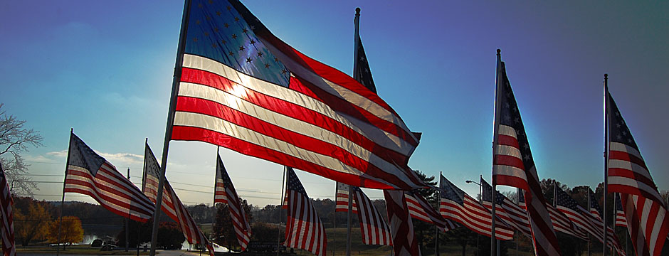
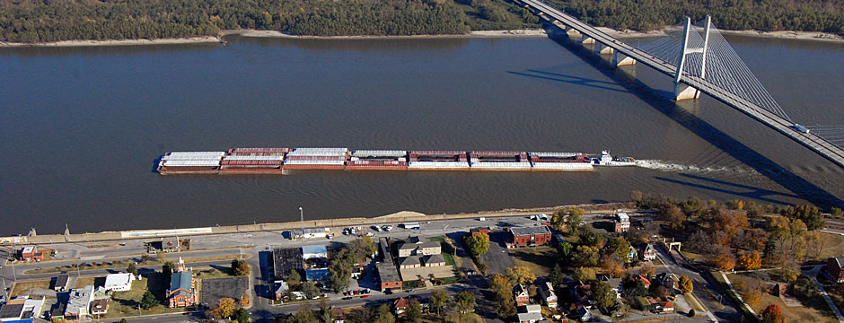
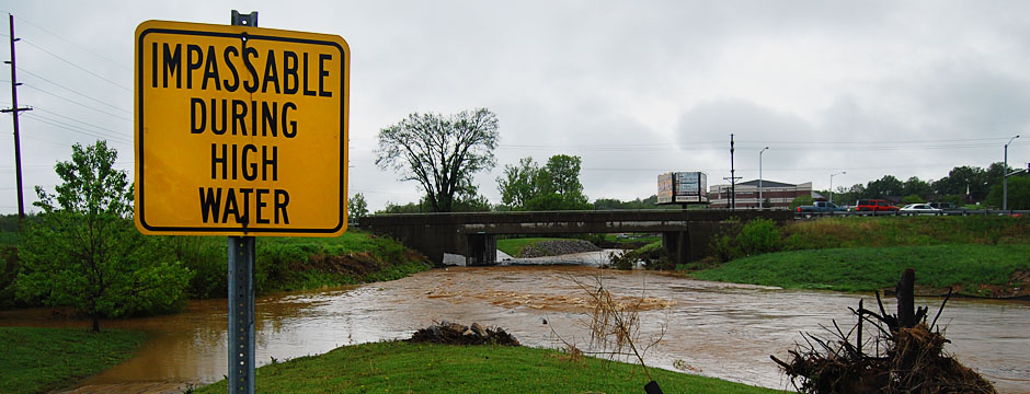
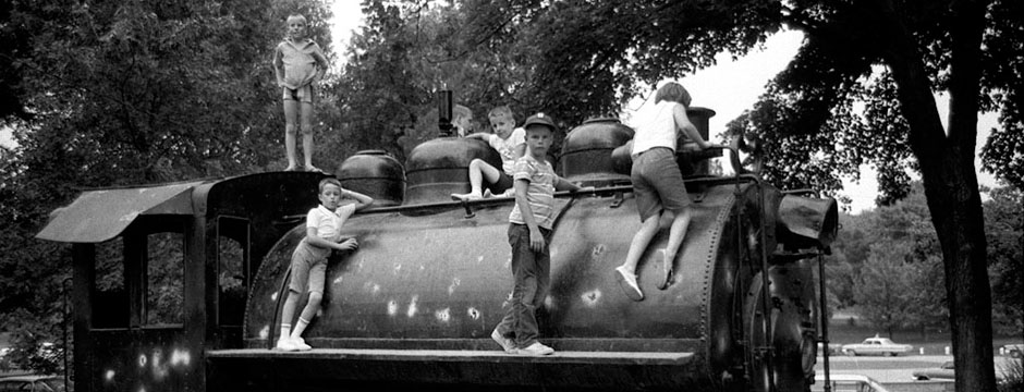
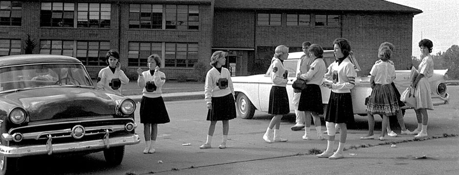
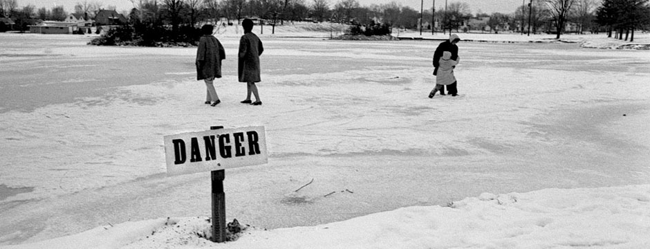
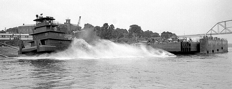
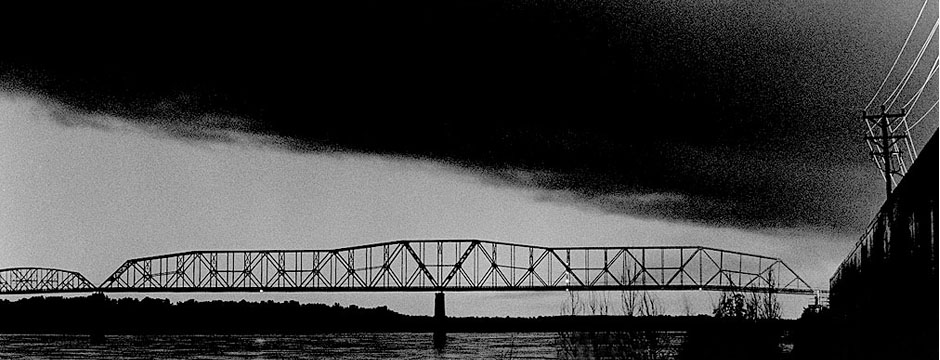
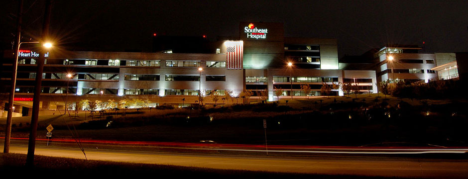
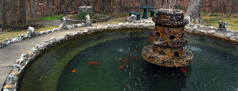
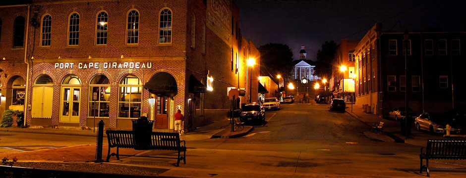
Most of my photos are uncropped and have minimal enhancement. My goal is for the photo to reflect reality (or, at least my vision of reality) as much as possible. That might mean that I’ll burn down (make darker) areas that I want to minimize or lighten areas that I want to emphasize. Your eye naturally goes to lighter areas, so I may subtly darken the outside of the print to lead you to what is important.
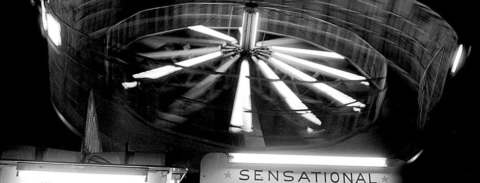
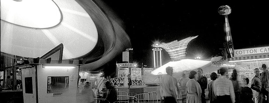
During the 70s, photographers overdid that effect, creating what we purists called “Hand of God” burns where the backgrounds were taken all the way to black and the center of the print had an unearthly glow. That phase didn’t last long, fortunately. (As usual, click on any photo to make it larger.)
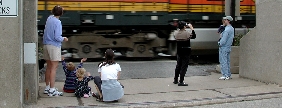
I won’t add nor take away people and objects like some national publications have been caught doing.
Old film can be challenging
Because I’m working with a lot of old film, I have to spend a lot of time taking out scratches and dust spots. Some of the film had uneven development or, because of the way the film was stored, it may have deteriorated. That’s not so much of an issue with black and white, but it can require quite a bit of tweaking with color film.
Sometimes, like with these photos of Bald Knob Cross, which I published in February 2010, the picture is made in the darkroom almost as much as in the camera.
Here’s what I started with
 I didn’t even realize I had these. They were tacked onto a roll of other aerials. They were grossly underexposed to the point where I originally probably dismissed trying to print them on photographic paper. The Nikon digital film scanner picked up detail that I didn’t know was there.
Here are the problems
- The film was way underexposed.
- The developing of the film was uneven, probably due to lack of agitation during the first step.
- It was a cloudy, hazy day.
- It was sharp, but not REALLY sharp.
First crop was too tight
 My first attempt was driven by laziness. My thought was that the more I cropped the photo, the less I’d have to fix., so I came in very tight. That got rid of the uneven development problem, but it didn’t feel right. It was cropped so tightly that the cross didn’t have room to “breathe.”
How did I get to the final Bald Knob Cross?
- I cropped out the imperfections, but I gave it more “air.” It turned out that the dark cloud shadow behind and in front of the cross helped emphasize its whiteness.
 I increased the contrast, making the blacks blacker and the whites whiter. That caused the trees and their shadows to do some interesting things. It caused the cross to “pop,” too.
- I applied sharpening. Adobe’s Photoshop editing program has what are called Sharpening Filters. You don’t want to overdo those. I normally set them to from 33% to 66%.
- I hit the Sharpen button and liked the effect, so I punched Sharpen More. Wow, those trees are really being emphasized nicely. One more punch and it looked like they had been drawn with pen and ink. One more punch and they looked like crap. Time to back off.
- I could have burned in the edges a little more, but the cross is so white that your eye doesn’t need much help to figure out what is important.
Making something out of nothing
 This photo has more wrong than right.
- There are ugly dark spots from poor development all over the frame.
- The cross is lost in the haze and distance.
- The foreground is a jumble of uninteresting brush. (To be honest, there are some intriguing shapes in that brush. Someone more skilled in Photoshop and with more patience could probably pull something out of it. I’m not that person.)
Finding the pony in the manure pile
 There’s an old story about an optimistic child who, when given a pile of manure for Christmas, immediately started digging. “There’s gotta be a pony in here somewhere,” he exclaimed.
Here’s what we did to find the pony in this picture:
- We cropped the bejeebers out of it, turning a dull vertical photo without a center of interest into an extreme horizontal that drags your eye right to the cross.
- We bumped up the contrast and let the sky go almost completely white, which allowed the cross to have some texture.
- The hill was taken from a dull gray to almost completely black. The left and right edges, an exception to the normal rule, are allowed to keep just a little texture to balance the grayish white of the cross. The grainy effect of the extreme crop gives the illusion of a forest.
It’s not great art, but it’s what distinguishes the professional from the amateur. Many amateurs can outshoot a lot of professionals on any given day. The difference is that the pro ALWAYS has to come back with a picture, even if he has to dig deeply into the pile to find it.
Carve away everything that’s not a lion
Do I really have to go through all those thought processes in the old-fashioned darkroom or the digital editing process?
Nah, not really.
The way you print a photograph is a lot like what a sculpture said when asked how he was able to carve a magnificent statue of a lion: “I start with a square block of marble and keep carving out everything that’s not a lion.”
A photographer captures a tiny fraction of time in a box, then works to bring it back to life. Some days it works better than others.