 I’m pretty sure Missourian editor jBlue gave me a Christmas bonus in 1966 without calling it one: he ran five of my photos on the front page. That’s $25 in my pocket when my salary was in the neighborhood of $50 a week. Here are most of the shots that ran, plus a couple of extras for good measure. (Click on the photos to make them larger.)
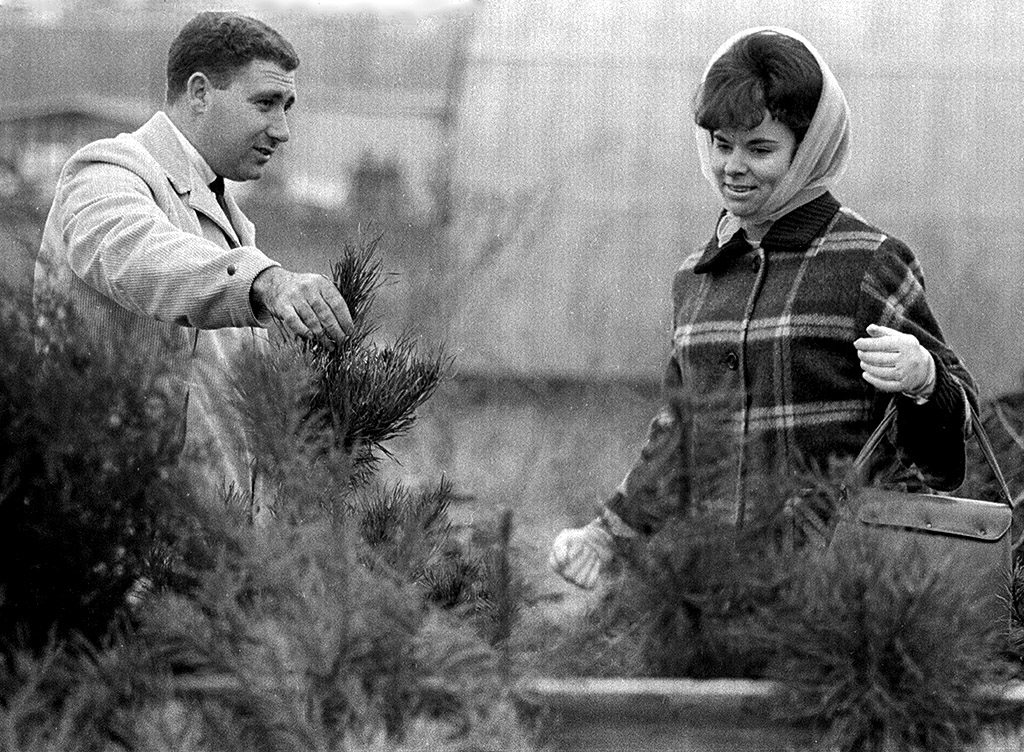
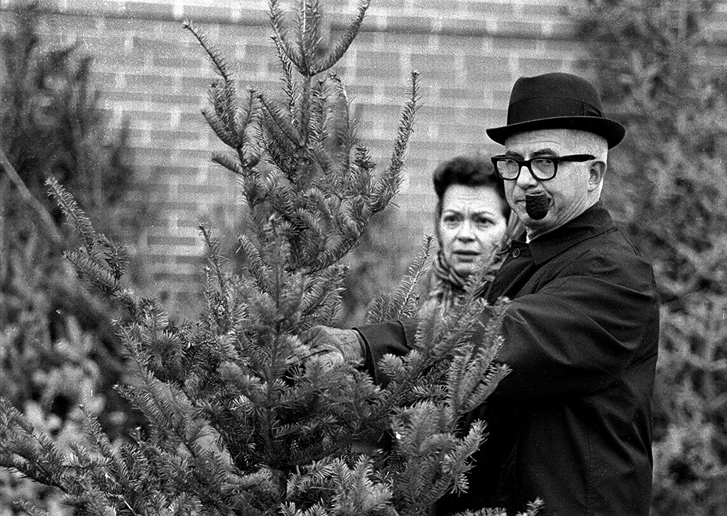
The caption on the Dec. 12, 1966, paper read, “Louis Owens, 805 South Sprigg, asks Mrs. Owens if the specimen he holds is satisfactory.”
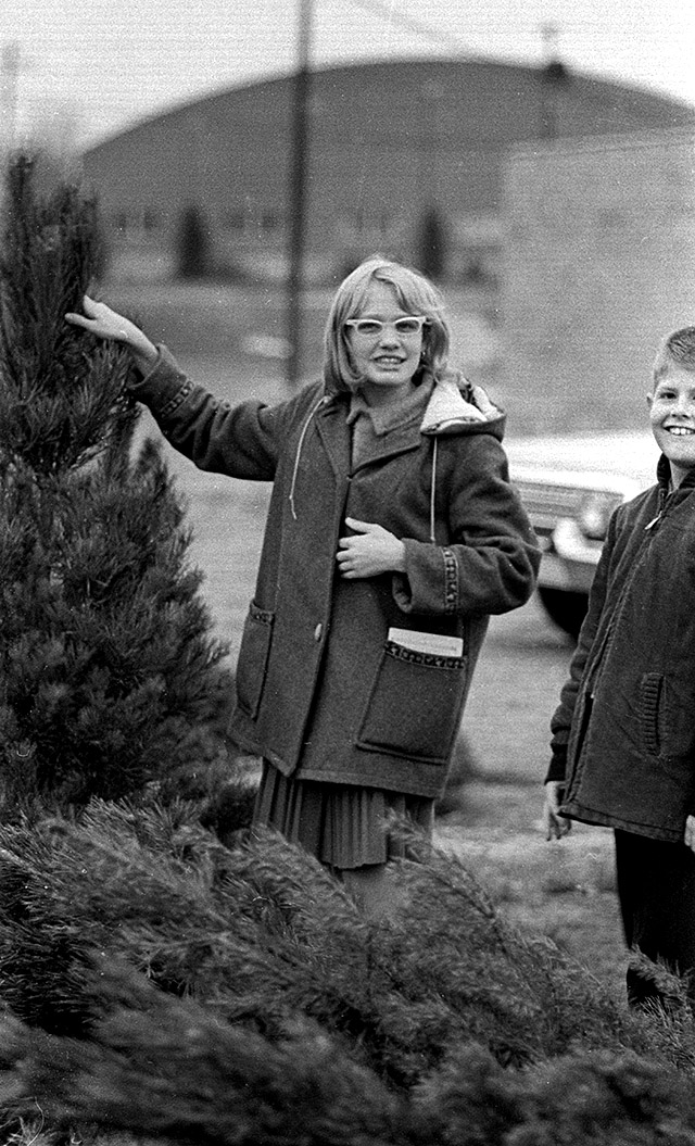
“I found it!”
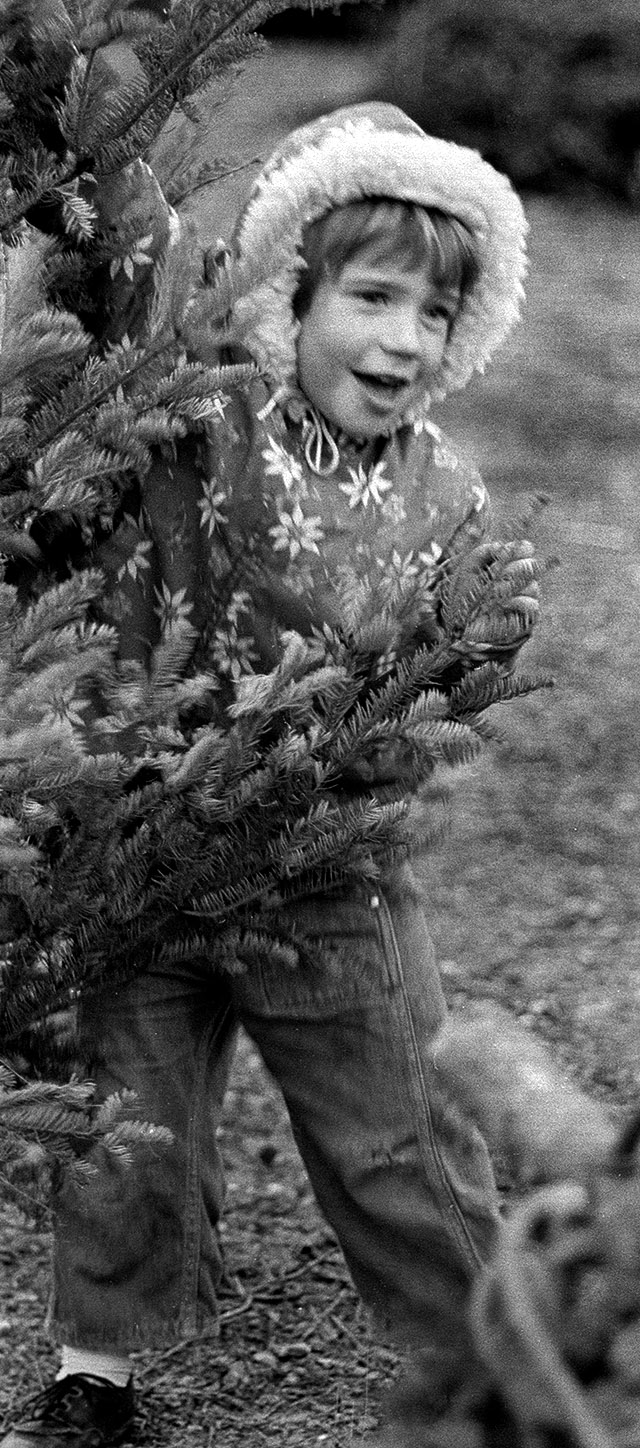
Joy Metje, daughter of Mr. and Mrs. Earlie Metje, McClure, Ill., shouts she’s found the one she wants.
It’s a cold day
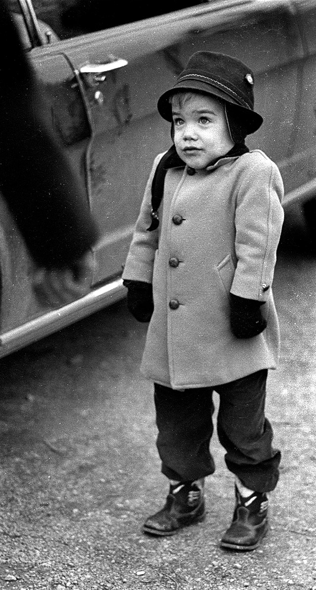 To Jimmy Trickey, son of Mr. and Mrs. James Trickey, it’s a cold day and he wishes mom and dad would hurry and make up their minds.
Mother and daughter choice
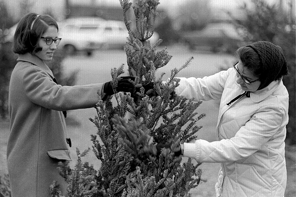 Mrs. Lowery B. Miller, white coat, and her daughter, Diane, discuss a tree.
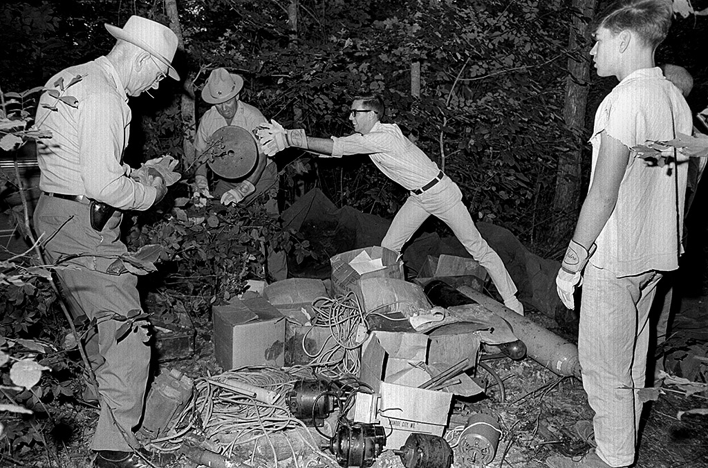
Not the Stones
 The paper ran a photo of Mr. and Mrs. John Stone and son, Timmy, 1726 Stoddard Court, but I couldn’t find the negative. I’ll substitute this young woman with a boy instead.
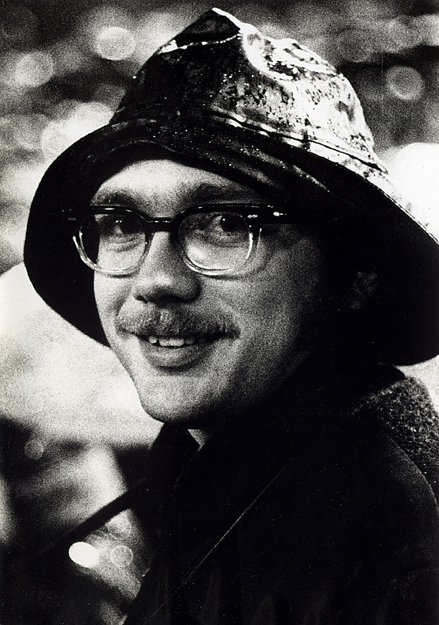
Is this Milton Ueleke?
 I don’t know for sure, but this pipe-chomping man looks like “Uncle Milty” Ueleke, science teacher at Central High School.
It’s the season
If you want to leave me a lump of coal or something better, click on the yellow DONATE button at the top right of the page.
I had a lab tech who would always give me a lump of coal as a present. I should have saved them for the fireplace.