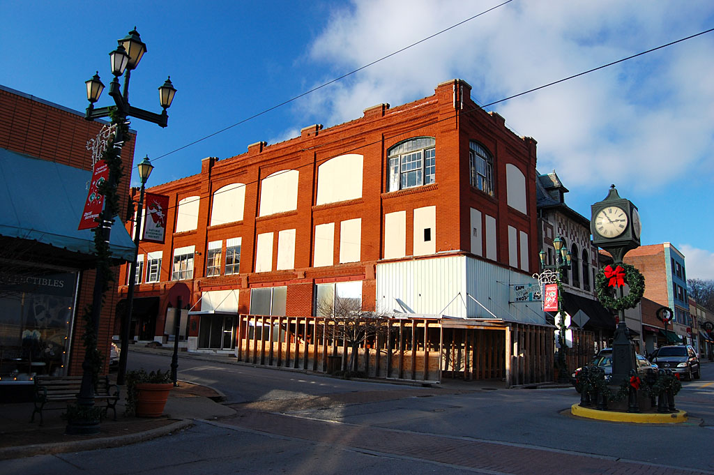
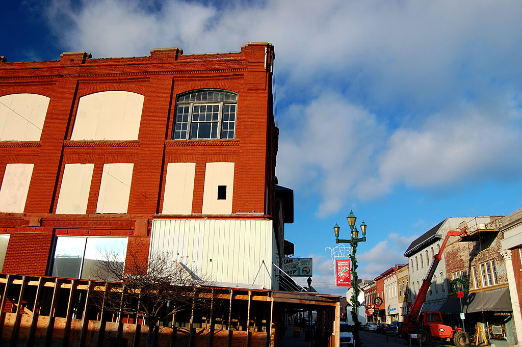
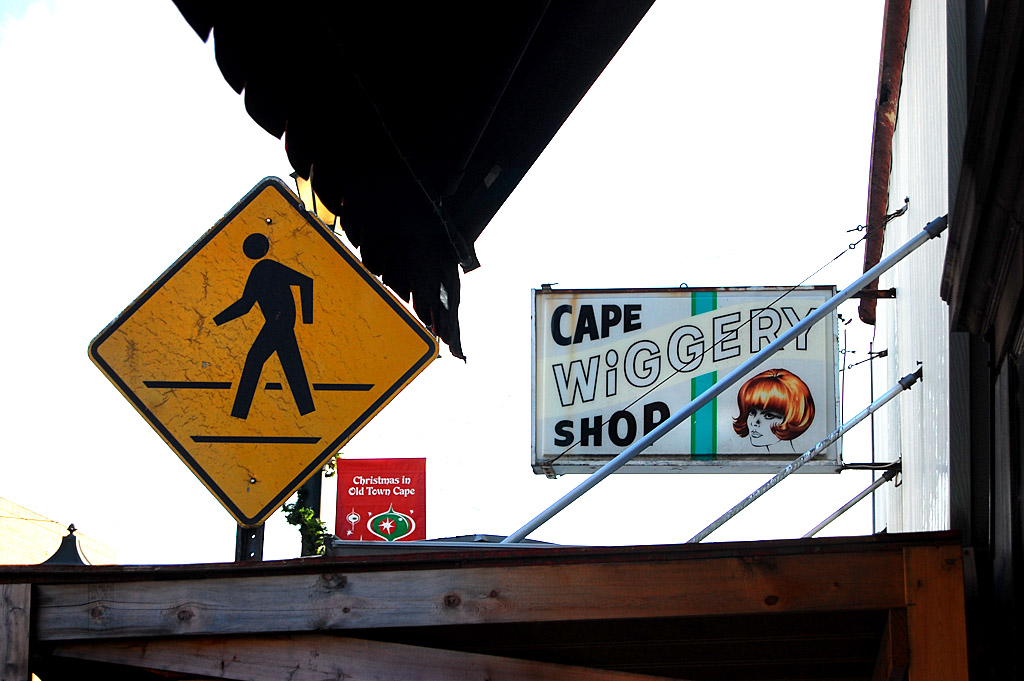
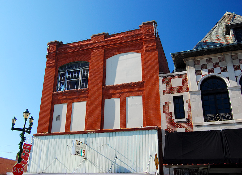
The sign on the front of the three-story brick building on the southwest corner of Independence and Frederick proclaims that the Cape Girardeau Historic Preservation Commission has deemed it “One of Cape’s Original Treasures c. 1910.” (Click on any photo to make it larger, then you can click on the left or right side of the image to see the rest of the photos.)
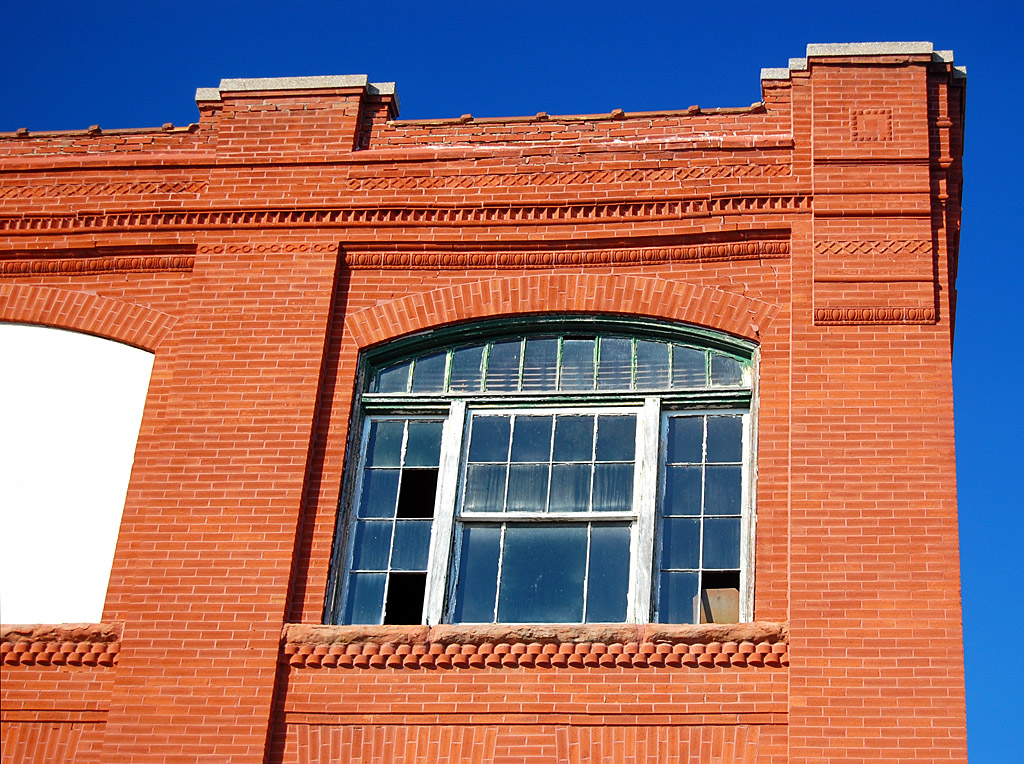
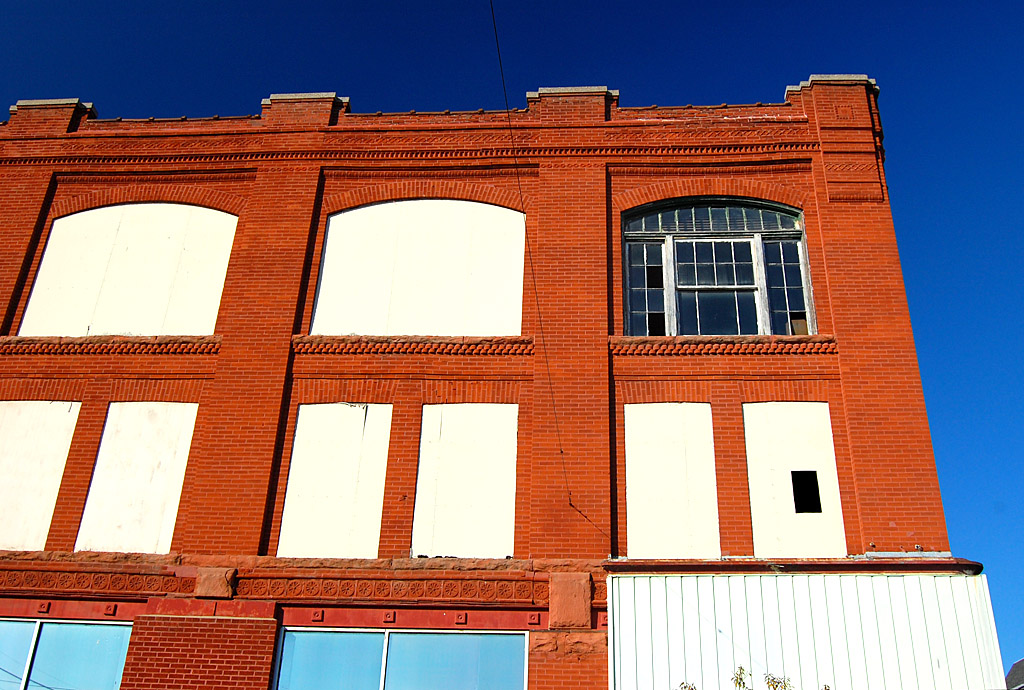
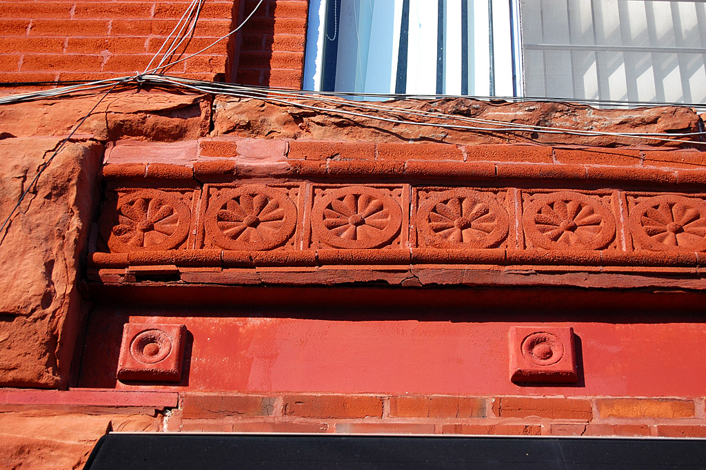
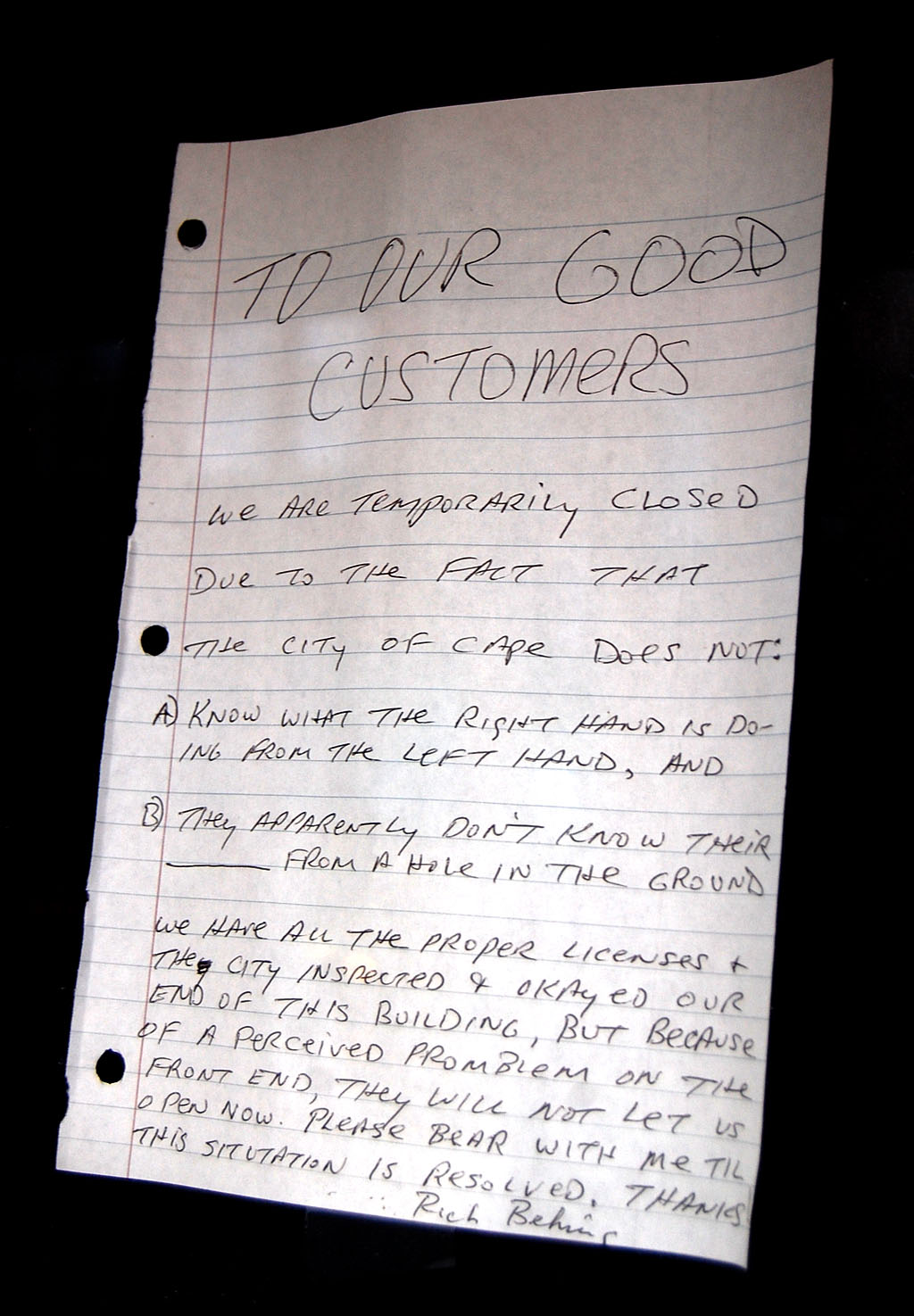
Looks pretty ho-hum to me
 Ho-hum. Looks pretty much like a bunch of other old buildings in Cape. Still, on a visit in the fall of 2009, I felt somewhat obliged to knock off some record photos of it.
While I was researching something the other night I saw a National Register of Historic Places application for the “Wood Building.” Like the obligatory photos of the building on Independence, I felt compelled to stick a copy in a directory named Cape Historical.
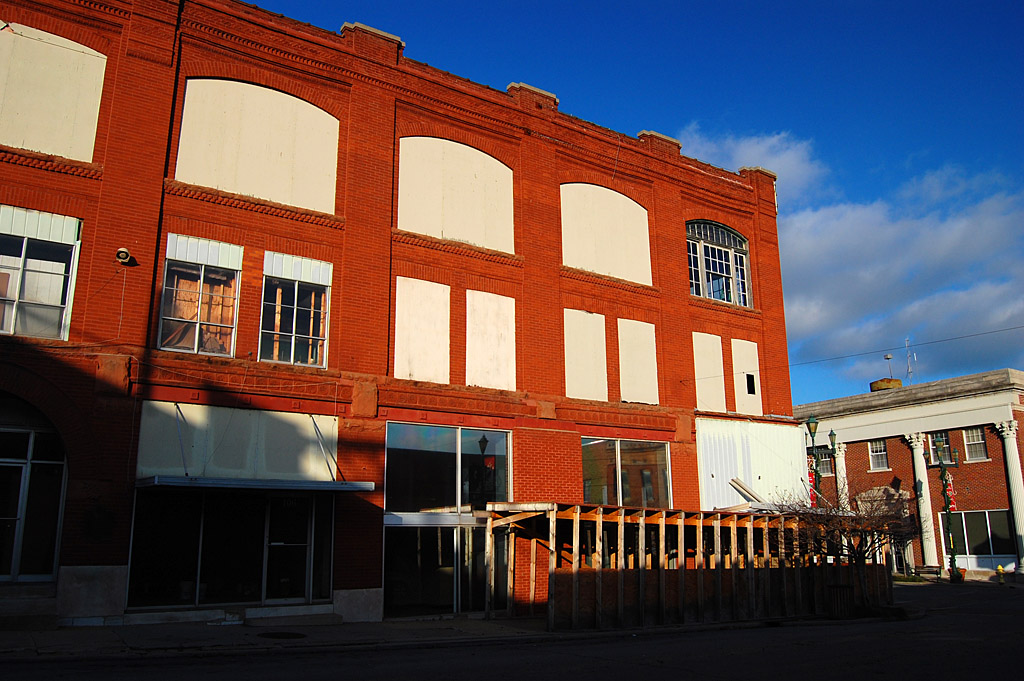
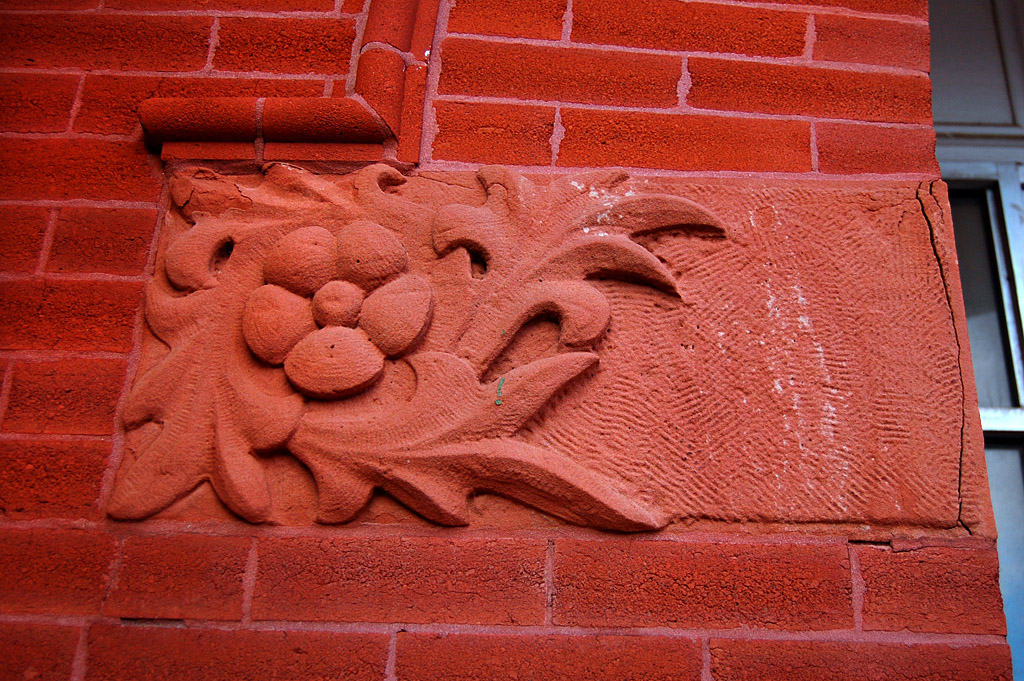
Many of original features remain
 This evening I stumbled across the Wood Building file and discovered Wood was the name of the folks who built it between 1908-1910, not the type of building material. Still, the application was a bunch of the normal architectural mumbo jumbo that means something to somebody, but not me.
Owned by Woods family until 1979
 I plowed through the formal stuff until I got to page 9, where we started getting into the history of the building. William L. Wood and his wife, Mary, moved from Perryville around 1895 with their two sons, William Jr., 5, and Charles, 9. The Rudolph Stecher Brewing Company of Murphysboro, Ill., rented the entire first floor.
The property stayed in the Woods family until 1979. During its long history, 1 South Frederick has nearly always been a saloon. It’s been known as the Central Inn, Central Hotel, Central Bar, Central Tavern, Corner Inn, Corner Pub and, most recently, Mac’s Tavern.
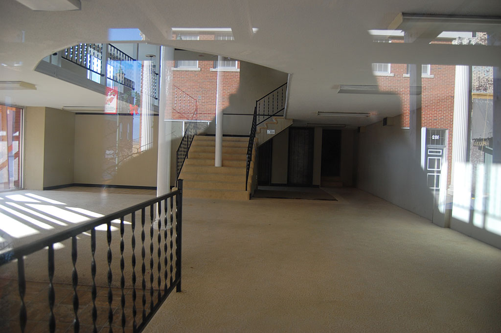
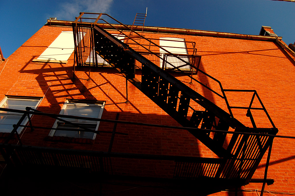
Upstairs had the action
 The sections of the building with the addresses 3 South Frederick and 607 Independence have housed such diverse businesses as The Creamery, The Central Furniture Company and Kos Potato Chip Company. The second and third floors served as a boarding house and hotel, as well as a front for a house of ill repute.
You should download the application
 That’s pretty interesting, but the National Register application spins an even better tale. I’m not going to spend time typing. I’m going to point you to the Wood Building document and let you read it for yourself. The good stuff starts at Section 8, Page 9 (Page 11 of the pdf).
Official corruption and collusion
 Here’s an overview from the application: “With the arrival of the Houck and San Francisco railroad systems in the late 19th century, Cape Girardeau’s sluggish economy prospered… As had happened in countless other communities of that period, saloons and “houses of ill fame” were woven into the social and commercial fabric of Cape Girardeau by the early years of the 20th century, and the Wood Building – with its infamous reputation – is especially noteworthy … because its history demonstrates tensions that existed between various groups, including area residents, madams, the local constabulary, attorneys, judges and other local officials, and organizations such as the Citizens Committee.”
Operated across from city hall and police station
 “Moreover, because it operated within one hundred yards of a police station and city hall [you can see it reflected in the window of one of the photos], and because cases involving activities at the Wood Building were most frequently dismissed when they entered the court system, its history suggests a probably pattern of official collusion and corruption. At the center of many controversies, the Wood Building is associated not only with local attitudes toward prostitution, alcohol and other social vices, but is a reflection of state and national trends as well.”
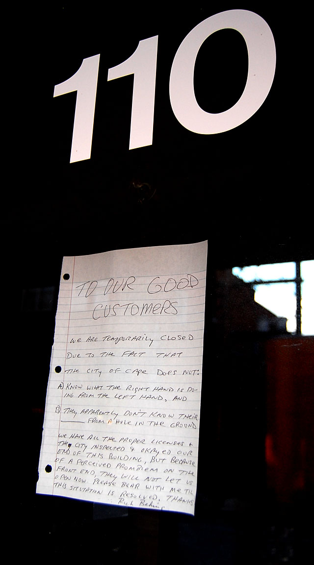
Who passed through this doorway?
 Reading through the next three or four pages of legal shenanigans will show you a side of Cape we didn’t learn in history class. It’s almost as fascinating as reading about a murder mystery associated with the New Rigdon Laundry in about the same era.
The application concludes, “Neighborhood taverns played a prominent role in the development of American cities. The efforts of alcohol activists notwithstanding, saloons and taverns were common places of recreation and relaxation in turn-of-the-century Missouri, especially in larger towns and cities and in communities that featured large German populations. They gave boisterous welcome to every male adult, regardless of his private conduct, his clothes, his manners, his previous record, or his ultimate destination.”